Tepe Sofalin: Where Writing Was Born on the Tehran Plain
The name means pottery shards in Persian, and the Tehran Plain delivers on the promise. Tepe Sofalin rises ten meters above the surrounding flatland, a mound 500 meters long and 400 meters wide, established on a natural hill about ten kilometers east of modern Varamin and thirty-five kilometers southeast of Tehran. People lived here from the late 4th millennium BC through the early 3rd millennium BC, then abandoned the site, then returned during the Iron Age. What they left behind is extraordinary: thirteen Proto-Elamite tablets, dozens of clay accounting tokens, sealed clay bullae, children buried in jars, and furnaces used for smelting silver. This is not a ruin of palaces or temples. It is a ruin of commerce and record-keeping, a place where the technology of writing was being tested at the very edge of literacy.
Tablets from the Edge of Literacy
The Proto-Elamite script remains undeciphered. Used across the Iranian Plateau from roughly 3200 to 2700 BC, it appears to have served primarily as an accounting and administrative tool, tracking goods, animals, and transactions. Tepe Sofalin has yielded thirteen tablets so far, twelve found during excavations led by Morteza Hessari between 2006 and 2007, and a thirteenth recovered in 2017 during a joint campaign by the Iranian Center for Archaeological Research and the Freie Universitat Berlin. The thirteenth tablet is largely complete and may use a numerical system not previously seen in Proto-Elamite script. Eleven of the original twelve were readable; one was too damaged. Most came from a single trench, suggesting a concentrated administrative area rather than scattered use across the settlement.
Tokens, Seals, and the Machinery of Trade
Before tablets, there were tokens. Tepe Sofalin produced dozens of proto-literate clay tokens in shapes that encoded meaning: spheres, cones, rectangles, triangles, biconvex discs, miniature jugs, and animal forms. These objects predate writing itself. They are the physical ancestors of written numerals, each shape representing a quantity or commodity in a system of accounting that required no alphabet. Clay bullae, hollow balls containing tokens and stamped with seals on the outside, were found alongside the tokens. The seals depict animal motifs: serpents, turtles, and felines. Together, these artifacts document a society sophisticated enough to track trade across distances but still working out how to record that trade permanently.
Silver Furnaces and Jar Burials
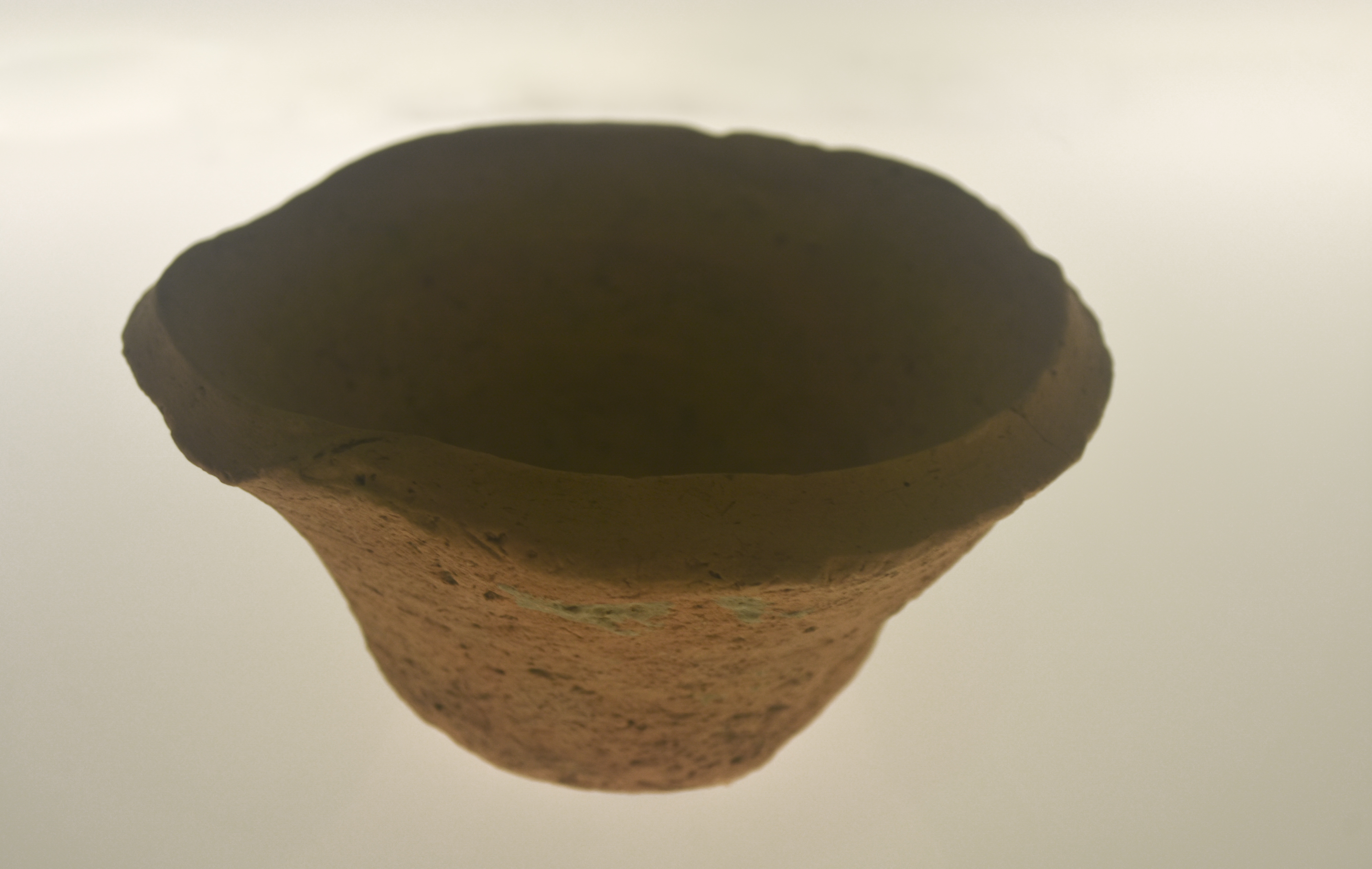
Not everything at Tepe Sofalin is administrative. Furnaces for processing silver were uncovered during excavations, evidence that metalworking was part of the local economy during the Proto-Elamite period. The site also revealed jar burials of children and pit graves from the same era, a common funerary practice across the ancient Near East. Radiocarbon dating of five samples placed the main occupation between 3500 and 2900 BC, spanning the Late Uruk to Proto-Elamite periods. Gas chromatography of residue inside a Beveled Rim Bowl found beeswax, hinting at the bowl's use for storing or serving food products. Even the mundane artifacts here carry data: the bowls, mass-produced in standardized shapes during the Uruk period, suggest institutional food distribution or ration systems.
A Mound with Looter Holes
Tepe Sofalin was identified during the Tehran Plain Survey in 2004. Looter holes were already visible on the surface. Hessari's team from Islamic Azad University of Varamin-Pishva excavated the site in two seasons from 2006 to 2007, with work continuing sporadically until 2011. The 2017 season brought international collaboration with German archaeologists, opening five new trenches and extending an earlier one. The adjacent site of Tape Shoghali and the nearby site of Tepe Hissar provide regional context, but Sofalin's concentration of Proto-Elamite tablets makes it exceptional. Each new trench has the potential to produce more tablets from a script that scholars still cannot read, adding data to a puzzle that has resisted solution for over a century.
From the Air
Located at 35.32N, 51.74E on the Tehran Plain, approximately 10 km east of Varamin and 35 km southeast of Tehran. The site appears from the air as a low mound rising above the flat agricultural plain south of the Alborz Mountains. Nearest major airports: Tehran Imam Khomeini International Airport (OIIE) approximately 50 km west-southwest, Tehran Mehrabad International Airport (OIII) approximately 40 km northwest. Best viewed at 1,500-3,000 feet AGL where the mound's elevation above the surrounding plain is visible. The flat terrain of the Tehran Plain and the Alborz mountain wall to the north provide dramatic geographic context.