Tettegouche State Park
The Baptism River does not ease into Lake Superior. It throws itself off a ledge. High Falls, the tallest waterfall located entirely within Minnesota, marks the point where river meets gravity with a commitment that draws hikers year-round to Tettegouche State Park. But the falls are only part of the story. The park's name comes not from any indigenous word or geographic feature, but from a private club -- the Tettegouche Club, a group of local businessmen who purchased this stretch of North Shore wilderness in 1910 from the Alger-Smith Lumber Company. The loggers had taken what they wanted; the club members kept everyone else out for six decades, inadvertently preserving one of the finest landscapes on Lake Superior. The state of Minnesota acquired the land in 1979 through the Nature Conservancy, folded it into the existing Baptism River State Park, and renamed the whole thing Tettegouche.
Cliffs That Invite Vertigo
Tettegouche's most dramatic features are its cliff formations along Lake Superior. Shovel Point juts into the lake like the prow of an enormous ship, its volcanic rock dropping vertically into deep, cold water. Palisade Head, nearby, rises over 300 feet above the lake surface -- a sheer rhyolite wall popular with rock climbers who appreciate both the challenge and the view. These are among only four state parks in Minnesota that permit rock climbing, and the setting is unmatched: climbers scale ancient volcanic rock with Lake Superior stretching to the horizon below their feet. The geology here tells a story of fire, not water. These cliffs are remnants of the Midcontinent Rift, a billion-year-old volcanic event that nearly split North America in two. The lava flows that cooled into this hard, columnar rock have resisted the erosion that wore away the softer sandstone elsewhere along the shore, leaving Palisade Head and Shovel Point standing as sentinels above the lake.
Six Lakes and Four Waterfalls
Inland from the Lake Superior shoreline, the park holds six lakes and four waterfalls across its forested interior. The Baptism River threads through the heart of the park, building momentum before its grand exit at High Falls. Northern pike inhabit four of the six inland lakes, and one supports walleye fishing -- quiet bodies of water reached by trails that wind through boreal forest. The park connects to the Superior Hiking Trail, a 310-mile footpath running along the ridgeline above Lake Superior from Duluth to the Canadian border. Tettegouche also borders Finland State Forest to the north and shares the Red Dot motorized trail with it, making it the only Minnesota state park with an ATV trail. Cross-country ski trails lace through the woods in winter, when the waterfalls freeze into pillars of blue-white ice and the inland lakes vanish under snow. The park's terrain changes character with every season -- birch and aspen gold in autumn, deep green spruce in summer, and a monochrome landscape of snow and dark water through the long North Shore winter.
From Lumber Barons to Lynx Country
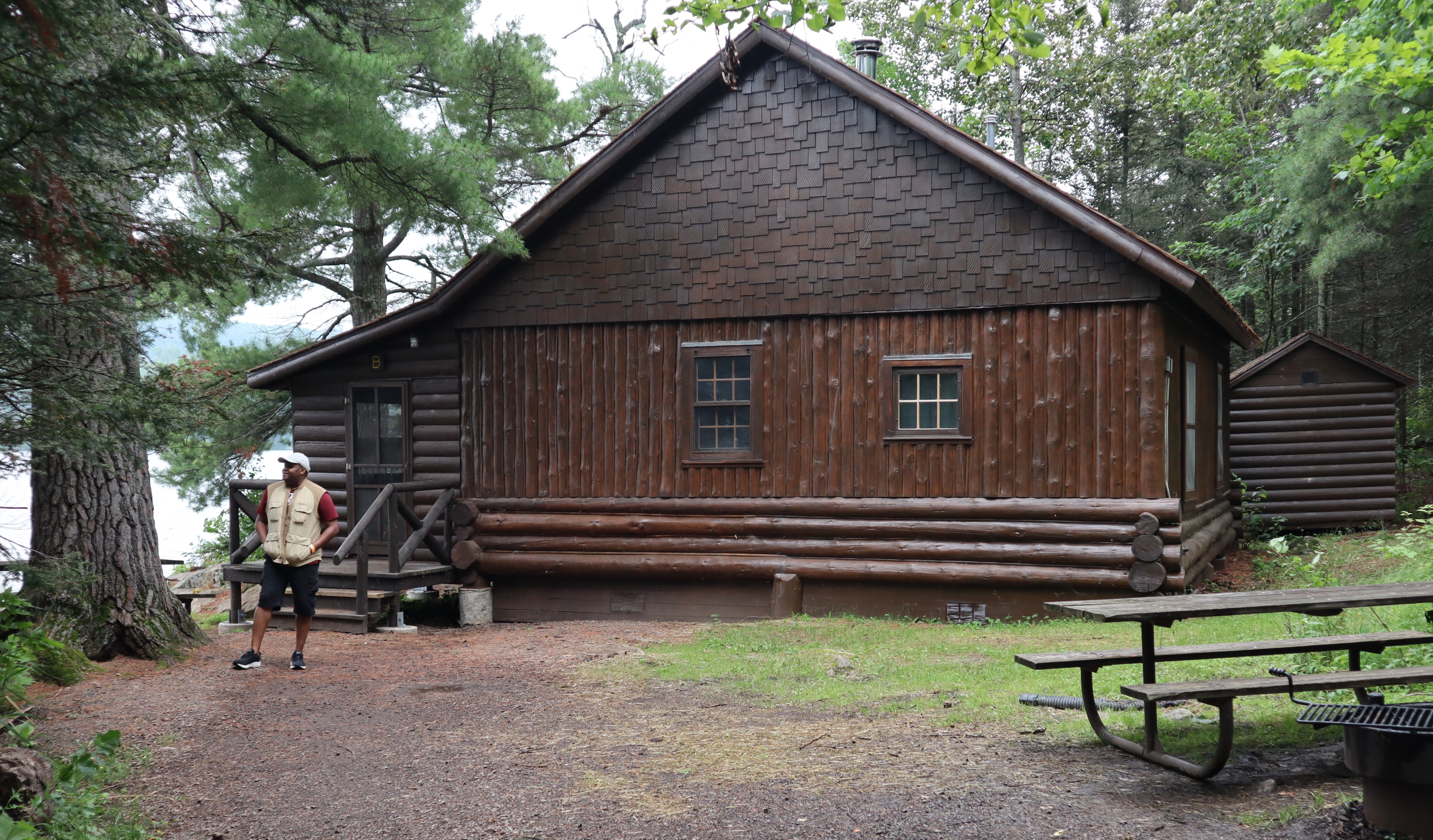
The Alger-Smith Lumber Company logged this area in the early 1900s, and the Tettegouche Club's purchase in 1910 marked the beginning of its recovery. The club's cabins on Mic Mac Lake, built as a gentleman's retreat, still stand and are now listed on the National Register of Historic Places. Four of these cabins are available as hike-to rentals -- rustic accommodation on a lake surrounded by second-growth forest that has matured into genuine wilderness. The wildlife list reads like a field guide to the North Woods. White-tailed deer, black bear, moose, and beaver are common sightings. Canadian lynx, timber wolves, and river otters roam the backcountry. Peregrine falcons nest on the cliffs above Lake Superior, riding the updrafts along Palisade Head. Northern flying squirrels, fishers, and American martens inhabit the deep woods -- animals that require large tracts of unbroken forest, which Tettegouche provides precisely because a group of businessmen wanted a private fishing retreat over a century ago.
The North Shore's Four-Season Park
Tettegouche sits along scenic Minnesota Highway 61, northeast of Duluth in Lake County. The park entrance doubles as a highway rest area, with a year-round visitor center, electric vehicle charging stations, and restrooms accessible around the clock. The Baptism River Campground offers sites with and without electrical hookups and a heated building with flush toilets and showers -- making Tettegouche the only Minnesota state park with operational showers in winter, a detail that cold-weather campers appreciate deeply. Drive-in, cart-in, walk-in, and kayak-in campsites provide access for every kind of visitor. A drive-up cabin at Illgen Falls rounds out the options. The park draws rock climbers in summer, leaf-peepers in autumn, cross-country skiers in winter, and waterfall chasers in spring when snowmelt swells the Baptism River. Each season reveals a different park, but the constant is Lake Superior itself -- visible from the clifftops, audible from the trails, and always, even on the calmest days, setting the temperature.
From the Air
Located at 47.336N, 91.199W along Minnesota's North Shore of Lake Superior, northeast of Duluth in Lake County. Palisade Head (300+ foot cliff) and Shovel Point are prominent visual landmarks jutting into the lake -- easily spotted from above against the dark water. The Baptism River valley cuts through the park interior. Best viewed from 2,000-4,000 feet AGL approaching from over the lake to appreciate the cliff formations and waterfall gorge. Two Harbors Municipal Airport (KTWM) is approximately 22nm southwest. Duluth International Airport (KDLH) is about 52nm to the southwest. Minnesota Highway 61 follows the shoreline and provides a reliable navigation reference. The park borders Finland State Forest to the north. Lake effect weather is common; early morning approaches from the southeast typically offer the clearest visibility along the North Shore.