Teusaquillo
The name means borrowed enclosure in Muysccubun, the language the Muisca spoke before Spanish arrived in 1538. Teusacá - also written Teivzaquillo, Thibzaquivo, Tipizaquillo - was the place where the zipa rested. The zipa was the southern Muisca ruler, the counterpart of the zaque who ruled from Tunja. He kept a house here, away from the noise of Bacatá, in what was then rural high plain. Bogotá has swallowed the plain since. But the name has stayed, passing through four centuries and emerging as the 13th locality of the Colombian capital - its geographic center, its most architecturally interesting district, and the home of more Colombian presidents than any other part of the city.
A Football Field Gives It a Name
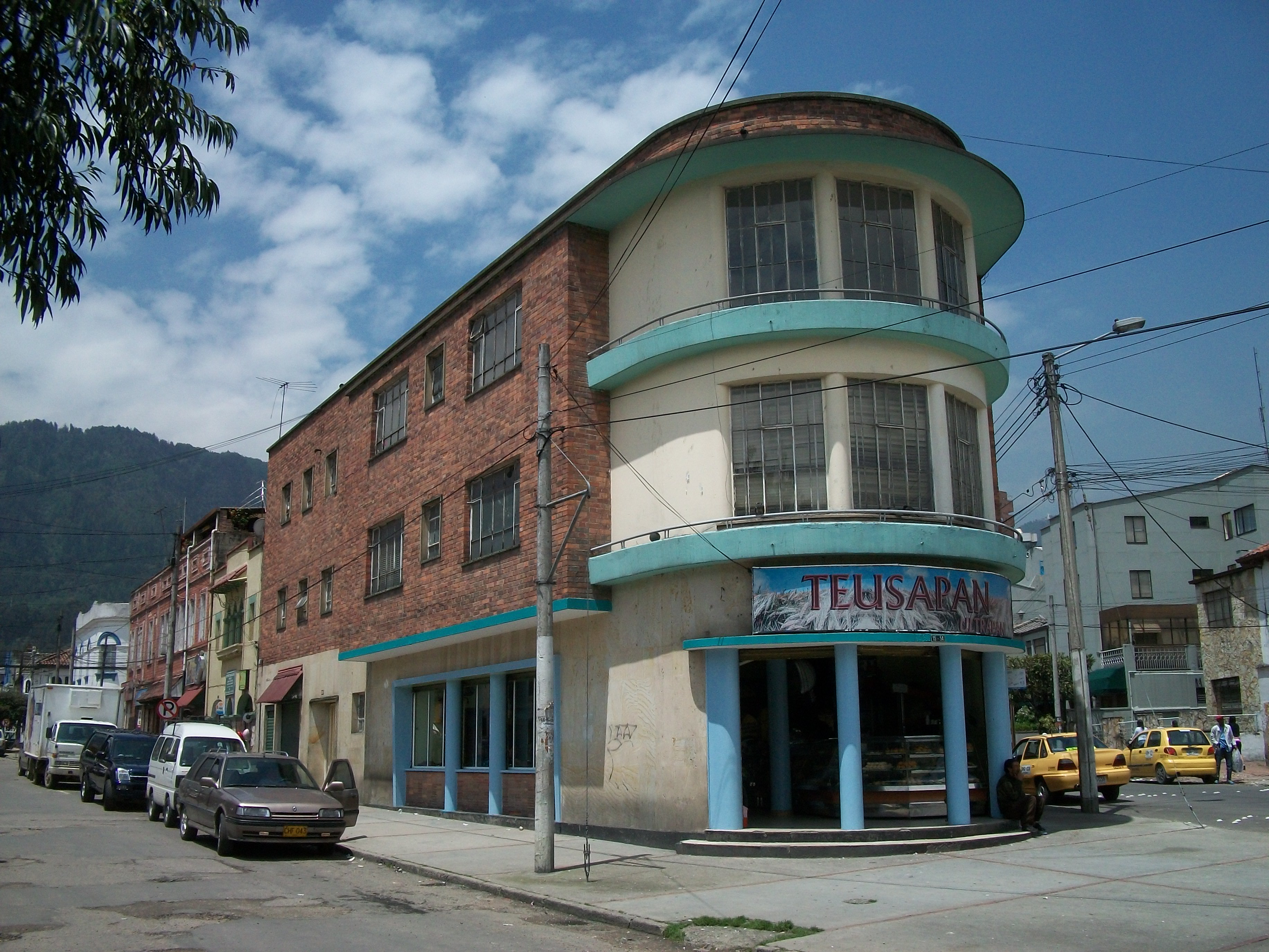
On 7 September 1902, a club known simply as Football Club opened Bogotá's first football field in a rural area then called Pueblo Viejo - Old Village. They named the field Teusaquillo, the Spanish rendering of the old Muisca word, as an homage to the indigenous people who had been there first. On that field, the first match between two Colombian football teams was played: the Red Team against the White Team, both belonging to Football Club itself. A second field called Marly went up the following year. The Pueblo Viejo area quickly became the city's football destination. In 1927, as urbanization pushed north from Santa Fe, city planners decided the emerging neighborhood deserved the name of the old field. Teusaquillo became a district. Its builders reached for English Victorian architecture and built their houses in brick with wooden verandas, painted dormers, and small front gardens - a style that in Bogotá's thin high-altitude light somehow looked elegant rather than imported. Many of those houses still stand.
Who Lived Here
Teusaquillo during its prime was the neighborhood Colombian political power chose. Jorge Eliécer Gaitán - the liberal leader whose 1948 assassination triggered the week-long urban uprising known as the Bogotazo - lived here. So did presidents Laureano Gómez, Gustavo Rojas Pinilla, and Mariano Ospina Pérez, and the newspaper founder Enrique Santos Montejo. The Museo Gaitán, dedicated to the slain leader, contains the record of his life and the place of his burial; visitors can stand where Colombia's twentieth-century history bent. In 1937 construction began on the main campus of the National University of Colombia - the country's flagship public university - whose grounds now occupy a substantial portion of western Teusaquillo. The project finished in 1945. The following year, Luis Camacho Matiz donated the land on which El Campín football stadium would rise in 1938, later expanded in 1951 to hold 40,000 and has since been renovated multiple times, reaching a peak capacity of 62,500 in 1968 before safety and FIFA standards reduced it to its current 36,343 seats.
Where the Popes Came
Teusaquillo is the locality most visited by the papacy in all of Colombia. Pope Paul VI arrived in 1968 for the 39th International Eucharistic Congress and celebrated Mass in what became the Eucharistic Temple of Simón Bolívar Park. Pope John Paul II visited in 1986, and a second temple - a national shrine - was constructed near the site of Paul VI's earlier Mass. The park itself, Simón Bolívar Park, covers a significant portion of the locality's west side. Work began on it in 1961. The Events Plaza within the park has a capacity of 150,000, the largest assembly space in Colombia. The Virgilio Barco Mega-library, designed by the celebrated architect Rogelio Salmona in pink-red brick, opened on its edge in 2001 - one of the largest public libraries in the city. The Simón Bolívar Aquatic Complex opened for the 2004 National Games with an Olympic pool and a capacity for 4,000 spectators.
Government Quarter
The district's central location has pulled the Colombian state into it. The National Citizenship Registry - the office that issues the identity documents every Colombian carries - is in Teusaquillo. So is DANE, the national statistics department; the Ministries of Education and Defense; the Solicitor General's office; and the government of Cundinamarca Department. The United States Embassy sprawls across multiple city blocks in the Quinta Paredes neighborhood, one of the five largest U.S. embassies in the world and an important local employer. Corferias, at the southern edge, is Colombia's largest exposition center - the kind of facility that hosts the International Book Fair in one week and, during national elections, serves as Bogotá's largest single polling station. During election seasons the barriers go up and the lines of voters stretch around the block.
Water Underground
Teusaquillo sits on the Bogotá savanna - flat, with a slight northwest slope. Three canal systems move water through the district: the Canal Arzobispo, which begins as the Arzobispo River up in the Eastern Hills and runs across the locality until Carrera 30, where it becomes the El Salitre Canal and flows past the National University and El Campín; the San Francisco Canal, which runs underground until emerging at Carrera 50; and the smaller networks that handle rainwater off the hills. In a city that sits at 2,625 meters of elevation and receives substantial rainfall during its two wet seasons, this hidden infrastructure is what keeps Teusaquillo dry. Above ground, the district remains remarkably green: over five kilometers of bike paths run through Simón Bolívar Park alone. In 2005 Teusaquillo held 157,884 residents - 2.5 percent of the urban population of a metropolis that has since grown past eight million. The borrowed enclosure is still where Bogotá's political business gets done and, on Sundays, where a substantial slice of the city comes to breathe.
From the Air
Located at 4.67°N, 74.09°W in the geographic center of Bogotá at approximately 2,625 meters (8,612 ft) elevation. El Dorado International (SKBO/BOG) is 5 km west. The locality is visible from 5,000-10,000 feet AGL as the city's greenest central zone, anchored by the 970-acre Simón Bolívar Park. The distinctive pink-red spiral of the Virgilio Barco Library and the large rectangle of El Campín stadium are useful landmarks. Bogotá's altitude requires density altitude calculations year-round and careful fuel planning.