The Forks, Winnipeg
Six thousand years before the first European fur trader paddled up the Red River, people were already gathering here. The Forks -- Nestawaya in Cree -- sits at the confluence of the Red and Assiniboine Rivers in the heart of downtown Winnipeg, and it has been a meeting place for so long that archaeologists excavating the site in the early 1990s unearthed a 3,000-year-old layer of soil they call "the archaic horizon," dense with artifacts from the bison hunt. Nakoda, Cree, Anishinaabe, and Dakota peoples all visited this junction. The Verendrye brothers wrote of "La Fourche des Assiliboiles" in 1738. Designated a National Historic Site of Canada in 1974, The Forks today draws four million visitors annually to a place where horse stables became food halls, rail yards became gardens, and the frozen rivers themselves become skating trails that once held a world record.
Where Two Rivers Become One
The name itself tells the story. "The Forks" comes from the North American usage of fork to mean the junction of two rivers, and the plural form is used because two rivers merge here rather than one splitting apart. The Assiniboine has followed its present course to this meeting point for approximately 700 years; before that, it joined the Red River farther south, near the modern mouth of the La Salle River. That shift reshaped the geography of the entire region and concentrated human activity at this spot. Archaeological digs conducted between 1989 and 1994 uncovered camps, fishing implements, and bison hunting tools spanning millennia of continuous use. When Europeans arrived as fur traders, they found not a wilderness but an established crossroads, a place the Indigenous peoples of the prairies had been using as a trading hub for generations.
From Rail Yards to River Walks
For most of the 20th century, The Forks was a tangle of railway infrastructure. The Forks Market itself began as two adjacent horse stables built for competing rail companies -- the Grand Trunk Pacific and the Great Northern -- whose stalls were eventually joined by a courtyard and bridges. The Johnston Terminal, originally the National Cartage Building, served as a warehouse and freight-forwarding facility for Canadian National Railway. When the rail industry declined, these buildings sat empty. The transformation began when the Forks National Historic Site opened in 1989. The old stables became a two-storey market with 300 vendors selling fresh bread, wine, produce, crafts, and artwork. The Johnston Terminal was converted into boutiques, restaurants, and an antique mall. A six-storey tower with a viewing platform now rises from the market building, offering panoramic views of the rivers and the city.
Ice, Art, and Prairie Gardens
Winter at The Forks is not something to endure but something to celebrate. The River Trail -- a skating path carved along the frozen Assiniboine and Red Rivers -- once stretched 9.3 kilometres, briefly holding the record for the world's longest skating rink before losing the title to Lake Windermere Whiteway in British Columbia in 2013. Each year the trail's length depends on ice conditions, and in some winters the path extends south on the Red instead of west on the Assiniboine. The Warming Huts competition, launched in 2010 and endorsed by the Manitoba Association of Architects, invites designers to build shelters on the frozen river; Frank Gehry's firm Gehry Partners contributed a design in 2011. When the ice melts, The Forks reveals its other character: the Prairie Garden, developed in partnership with the Nature Conservancy of Canada, holds over 10,000 plants across 150 native species. A public orchard with 61 fruit trees and 75 berry-bearing shrubs stands open for anyone to pick.
Monuments at the Meeting Place
The Forks collects meaning the way a river junction collects water. The Oodena Celebration Circle -- oodena is Ojibwe for "centre of the city" -- is a shallow amphitheatre commissioned in 1993 whose excavation uncovered that 3,000-year-old archaic horizon. Eight steel armatures ring the bowl alongside a sundial, a naked-eye observatory, and a ceremonial fire pit. Nearby stands Niimaamaa, a stylized sculpture of a pregnant woman created in 2018 from painted steel, copper, and corten metal; the word means "my mother" in Cree, Ojibwe, and Michif. The Esplanade Riel, a cable-stayed pedestrian bridge named for Louis Riel, connects downtown to St. Boniface across the Red River and is the only bridge in North America with a restaurant on it. An 1888 rail bridge, long abandoned, has been converted into a lighted pedestrian crossing decorated with a mural honoring Cree artist Jackson Beardy and the Indian Group of Seven. Even the canopy posts between the Market and Johnston Terminal carry history: metal bands mark the peak water levels of the floods of 1826, 1852, 1950, and 1997.
A Living Crossroads
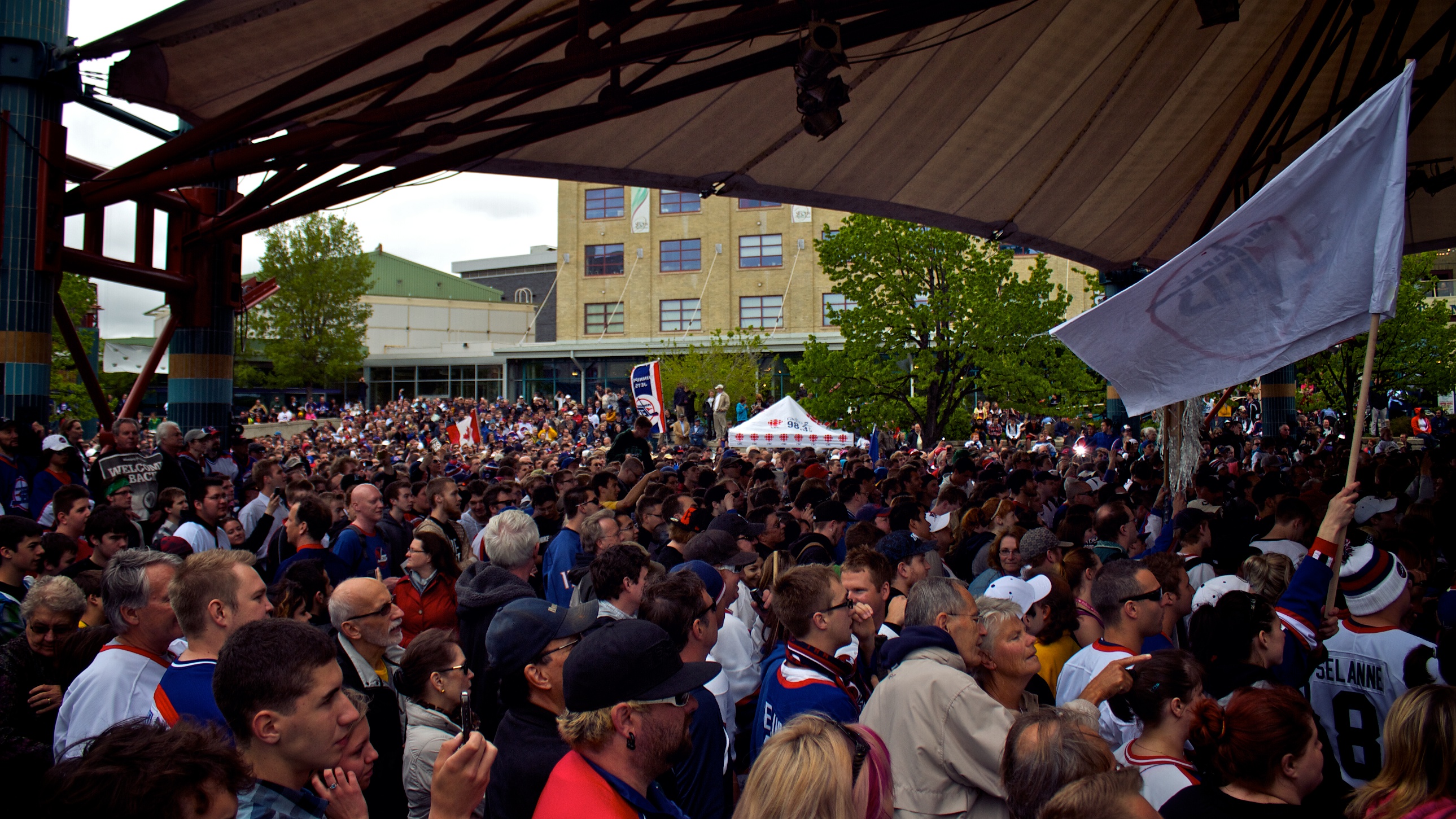
The Canadian Museum for Human Rights, completed in 2014, rises from The Forks on a site of archaeological importance to First Nations history. It is the first national museum in Canada located outside of Ottawa. Throughout the year, The Forks hosts over 200 events, from Canada Day fireworks to Salsa Sundays under the market canopy. The Winnipeg International Children's Festival has called the site home since 1990. A skatepark opened in 2006 -- the largest urban skate plaza and bowl complex in Canada -- and drew Tony Hawk himself to film scenes for Secret Skatepark Tour 3. For all its modern attractions, The Forks remains what it has been for six millennia: a place where people come to meet, trade, eat, celebrate, and watch the rivers flow together. The geography has not changed. The human impulse to gather at this spot has not changed either.
From the Air
Located at 49.8869N, 97.1306W at the confluence of the Red and Assiniboine Rivers in downtown Winnipeg. The river junction is clearly visible from altitude and serves as an excellent navigation reference point. The distinctive Canadian Museum for Human Rights building, the market complex, and the Esplanade Riel pedestrian bridge are identifiable landmarks. Nearest major airport is Winnipeg James Armstrong Richardson International (CYWG), approximately 7 km west-southwest. Best viewed from 2,000-3,000 ft AGL. The site sits between St. Boniface Cathedral to the east across the Red River and the Manitoba Legislative Building to the southwest along the Assiniboine.