Thousand Islands
The Thousand Islands are actually 1,864 islands - if you count by the official definition (at least one foot above water year-round, with at least one tree). They straddle the Canada-U.S. border where Lake Ontario empties into the St. Lawrence River, creating a 50-mile stretch of spectacular island scenery. The Gilded Age made this playground famous: George Boldt built his six-story Boldt Castle for his wife; when she died before completion, he never returned, leaving a romantic ruin. The area also gave America Thousand Island dressing - probably invented at the Thousand Islands Inn, using local ingredients. Today the islands draw boaters, kayakers, and tourists to one of North America's most scenic waterways. The international border runs through it all, sometimes splitting individual islands between nations.
The Geography
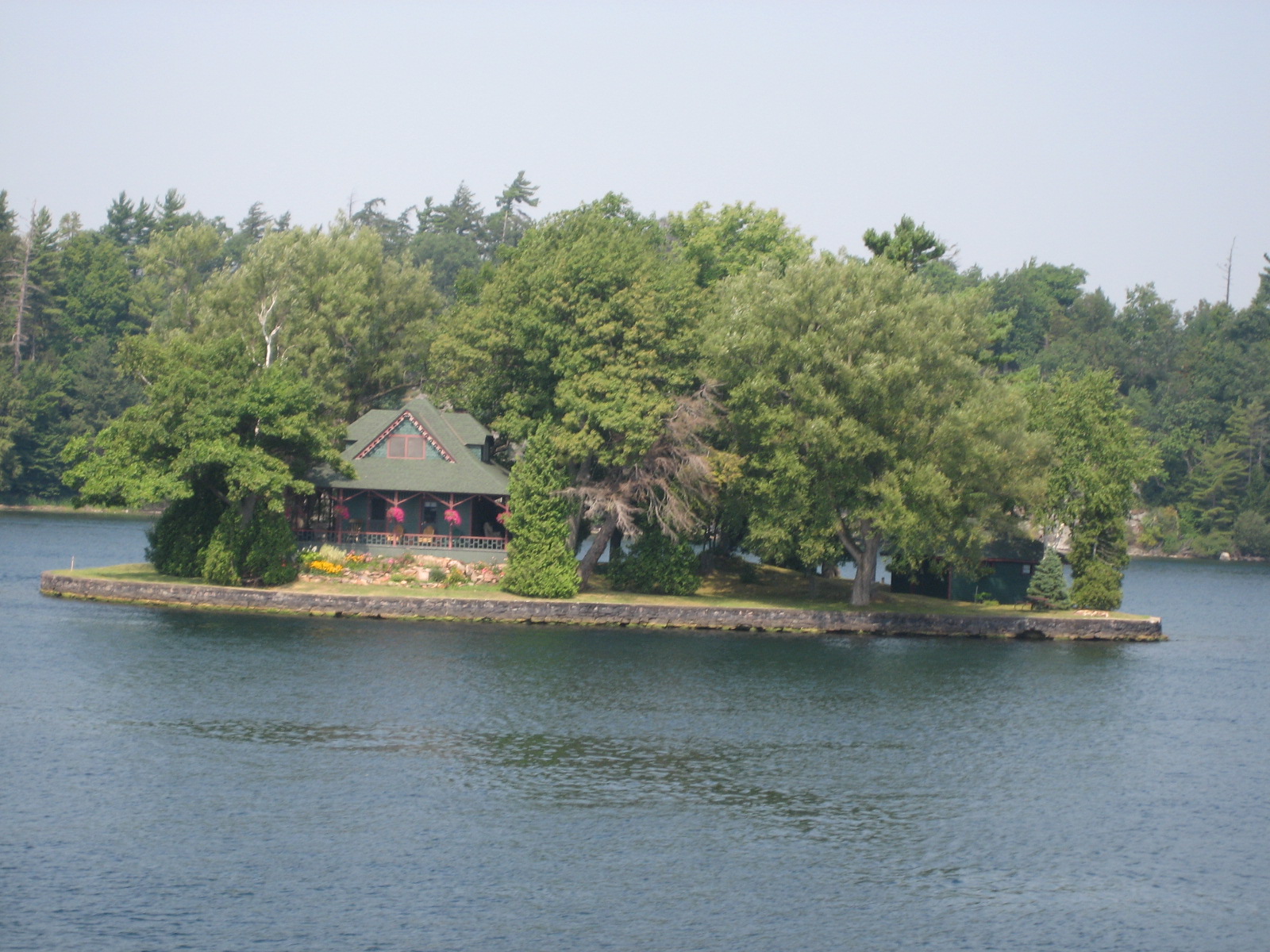
The Thousand Islands are the exposed peaks of an ancient mountain range, drowned when glaciers retreated and the Great Lakes drained through the St. Lawrence. The largest islands cover several square miles; the smallest are barely rocks. Some are connected by bridges; most require boats to reach. The islands vary from wild forest to manicured estates. The main shipping channel, the St. Lawrence Seaway, threads through the archipelago. The international border follows the deepest channels, creating complicated sovereignty - some islands are split, with different countries owning different parts.
The Gilded Age
The Thousand Islands became fashionable among America's wealthy in the 1870s. Hotels catered to tourists; private estates multiplied on purchased islands. George Boldt, owner of the Waldorf-Astoria, built the most elaborate: Boldt Castle on Heart Island, a 120-room replica of a Rhineland castle for his wife Louise. When she died unexpectedly in 1904, Boldt abandoned the project, never to return. The castle stood empty for 73 years until the Thousand Islands Bridge Authority acquired it and began restoration. Other estates survive, some as house museums, others as still-private retreats.
The Dressing
Thousand Island dressing was probably invented here, though the exact origin is disputed. One credible version credits actress May Irwin, who summered in the islands and shared a recipe from her fishing guide's wife. Another credits George Boldt's chef at the Waldorf-Astoria, inspired by the islands. A third credits the Thousand Islands Inn in Clayton, New York. What's certain is that the dressing - mayonnaise-based with ketchup, pickles, and other ingredients - was named for the region and remains associated with it. The Thousand Islands Inn still serves it, claiming the original recipe.
The Border
The international border divides the islands between the United States (primarily New York State) and Canada (Ontario). The Thousand Islands Bridge, opened in 1938, connects the two countries via a series of spans hopping between islands. The border runs through the deepest channels, but the division is sometimes arbitrary - a few islands are split, with houses in two countries. Before strict enforcement, the border was porous; smuggling was traditional (alcohol during Prohibition, goods before that). Today, crossing requires passports and border checks, but the islands themselves create a single landscape shared by two nations.
Visiting Thousand Islands
The Thousand Islands region extends along both sides of the St. Lawrence from Kingston, Ontario, to Alexandria Bay, New York. Boat tours from Clayton, Alexandria Bay, and Gananoque explore the islands; some land at Boldt Castle or Singer Castle. Kayaking offers more intimate exploration. The Thousand Islands Bridge provides dramatic views; a viewing tower at the Canadian end offers panoramas. Boldt Castle requires a boat to reach but is the major attraction. Clayton's Antique Boat Museum celebrates the region's wooden boat heritage. Syracuse Hancock International Airport (SYR) is 70 miles south; Ottawa International (YOW) is 60 miles northeast on the Canadian side. Summer is peak season; fall color can be spectacular.
From the Air
Located at 44.33°N, 75.96°W in the St. Lawrence River between Lake Ontario and Montreal. From altitude, the Thousand Islands appear as a scattered archipelago of forested islands in the blue ribbon of the St. Lawrence. The Thousand Islands Bridge is visible as a series of spans hopping between islands. The shipping channel of the St. Lawrence Seaway threads through the islands. The contrast between the island-dotted river and the flat farmland on both shores is evident. Kingston, Ontario, is visible to the west; the river continues northeast toward Montreal.