Tillamook Bay
Captain Robert Gray thought he had found the Columbia River. In August 1788, the American merchant captain sailed into a small bay on the Oregon coast, convinced he had reached the great river that explorers had been seeking for decades. He was wrong -- he had entered Tillamook Bay, a much smaller inlet about seventy-five miles to the south of where the Columbia actually meets the Pacific. The mistake cost him. During his week-long stay, a violent encounter with the local Tillamook people left one of Gray's crew and several Tillamook dead. Gray sailed away, and four years later he would actually find the Columbia. But Tillamook Bay had already earned its place in the record books: Gray's landing was the first known time an American set foot on Oregon soil.
Land of Many Waters
The name tells you everything. "Tillamook" comes from a Coast Salish word meaning "Land of Many Waters," and the bay earns that name five times over. The Kilchis, Wilson, Trask, Tillamook, and Miami rivers all drain from the Coast Range and converge at the bay's southeastern end, where the town of Tillamook sits at their collective mouth. The rivers drop quickly from the timber-producing slopes of the range, carrying freshwater that mixes with Pacific saltwater to create a rich estuary. Steelhead and salmon run these rivers in numbers that still draw anglers from across the Pacific Northwest. The Tillamook people -- part of the Coast Salish language group -- had lived along these waterways since roughly 1400 CE, and when Lewis and Clark surveyed the coast, they estimated the indigenous population south of the Columbia River at approximately 2,200.
Sandbar and Breakwater
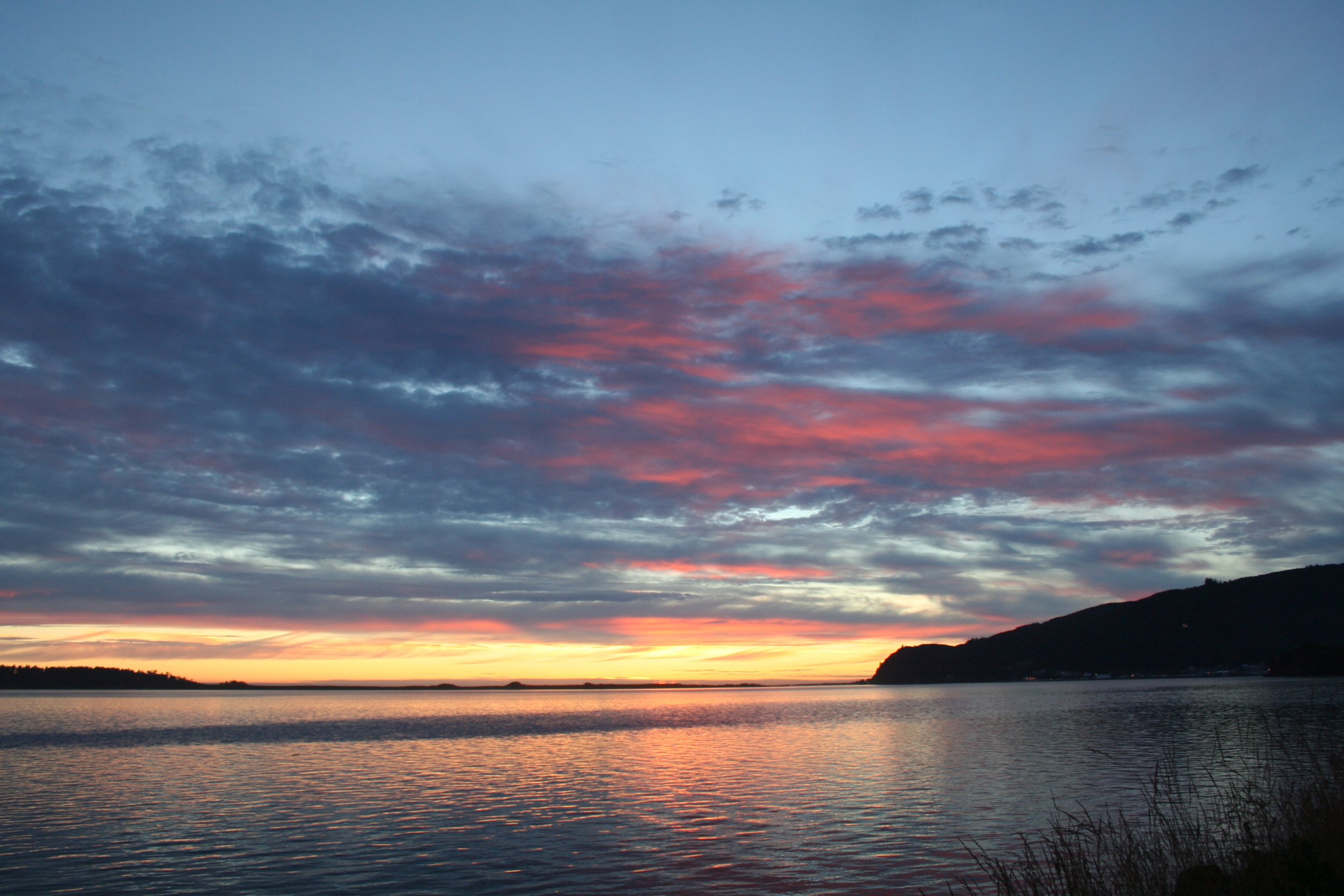
Tillamook Bay stretches roughly six miles long and two miles wide, a modest body of water protected from the open Pacific by the Bayocean Peninsula, a three-mile sandbar that curls across the bay's western mouth. The Coast Range crowds close on all sides except where the rivers enter from the southeast. At the bay's northern opening, where the fishing village of Garibaldi sits against the cliffs, the stone breakwater narrows the channel to just 400 meters. This is where the bay shows its teeth. During heavy weather, waves off the harbor entrance can reach ten meters -- over thirty feet -- stacking up where ocean swells collide with outflowing river current in a confined space. The July Fourth weekend of 1980 demonstrated what those conditions demand: Coast Guard coxswain Richard Dixon piloted a forty-four-foot motor lifeboat through the chaos to execute two separate rescues off the breakwater, earning two Coast Guard Medals for a single weekend's work.
Blimps, Rails, and Cheese
The bay's modern history is a layered accumulation of unlikely chapters. Elbridge Trask settled here in 1848, journeying overland to reach a bay that was still largely inaccessible by land -- his story became the subject of Don Berry's 1960 historical novel Trask. In 1911, the Port of Bayocean was formed to manage the land at the bay's entrance. Then came World War II, when the Navy built a blimp patrol station at Naval Air Station Tillamook to guard the coast against Japanese submarines. The station was decommissioned in 1948, and the Port of Tillamook Bay eventually took over the property, inheriting a 5.5-mile railroad spur the Navy had built to connect the coastal communities to the Southern Pacific Railroad. That spur evolved: in 2003, the Oregon Coast Scenic Railroad began running heritage passenger trains on thirteen miles of track between Garibaldi and Wheeler. By 2017, Oregon Coast Railriders had visitors pedaling multi-person rail cycles along six miles of the same line. And through all of it, the town of Tillamook has been home to the Tillamook Cheese Factory, which turned this remote coastal county into one of the most recognized dairy brands in the American West.
Gateway and Future Trails
Tillamook Bay sits about seventy-five miles west of Portland, close enough for a day trip but far enough to feel like a different world. The Coast Range rises steeply between the Willamette Valley and the coast, and the winding drive through it remains part of the experience. The bay serves as one of the most popular gateways to the Oregon Coast, with Garibaldi offering charter fishing, Oceanside providing beach access near Three Arch Rocks, and Tillamook anchoring the southeast end with its creamery and small-town services. The Salmonberry Trail, currently in planning and incremental construction, aims to eventually connect four coastal towns with a hiking, biking, and horseback route that threads through the Coast Range to Banks, Oregon -- a trail that would link the bay to the Portland metropolitan area by human-powered transport. For now, the bay remains what its name has always promised: a place defined by converging waters, where rivers descend from forested mountains to meet the Pacific in a shallow, fertile, occasionally ferocious embrace.
From the Air
Located at 45.52N, 123.92W on the northwest Oregon coast. Tillamook Bay is clearly visible from altitude as an elongated inlet approximately 6 miles long and 2 miles wide, with the distinctive Bayocean Peninsula sandbar curling across its western entrance. Five rivers converge at the bay's southeastern end near the town of Tillamook. The narrow breakwater entrance near Garibaldi is visible at the bay's northern opening. Look for the massive Hangar B (Tillamook Air Museum) south of town. Cape Meares is immediately south of the bay. Nearest airport: Tillamook Airport (KTMK) approximately 3nm south of the bay. Portland International (KPDX) is approximately 70nm east.