Titiwangsa Mountains
From the air, you can see the split. A wall of green-draped granite runs the full length of the Malay Peninsula, and everything on either side of it -- rivers, roads, cities, weather -- bends to its will. The Titiwangsa Mountains, known locally as Banjaran Besar or simply the "main range," stretch roughly 480 kilometers from the Thai border to the southern state of Negeri Sembilan. They are not the tallest mountains in Southeast Asia, nor the most dramatic. But they are among the most consequential. Every major river on the peninsula -- the Pahang, the Perak, the Kelantan, the Klang -- begins somewhere along this ridge. The range does not merely sit in the landscape; it organizes it.
A Cordillera's Last Stand
The Titiwangsa are the tail end of something far larger. Follow the geology northward and the range connects to the Tenasserim Hills, which connect to the mountains of Myanmar and Tibet -- the great Indo-Malayan cordillera that runs like a seam down the Asian landmass. By the time that seam reaches the Malay Peninsula, it has spent most of its altitude, but none of its structural importance. The range begins in Thailand's Yala Province as the Sankalakhiri, straddling the border between Yala and Narathiwat. Across the Malaysian border, it takes the Titiwangsa name and runs southeast, separating the west coast states of Perak and Selangor from Kelantan and Pahang on the east. Mount Korbu, the range's highest peak at 2,183 meters, stands on the Perak-Pahang border -- high enough for montane cloud forests, where mosses drip from stunted trees and the temperature can drop to single digits Celsius.
The Fault Lines Beneath
Peninsular Malaysia feels tectonically stable, and it mostly is. But the Titiwangsa conceal a secret: the Bentong-Raub suture, an ancient collision zone where two tectonic plates once met, runs parallel to the range. A network of fault lines -- Bukit Tinggi, Kuala Lumpur, Seremban -- crisscrosses the mountains. Between 1984 and 2013, tremors ranging from 1.6 to 4.6 on the Richter scale were recorded at epicenters along the range, at Temenggor, Bukit Tinggi, and Kuala Pilah. The Department of Minerals and Geosciences has placed 23 earthquake monitoring stations around the peninsula, with most concentrated in the states flanking the Titiwangsa. Strong earthquakes centered in neighboring Sumatra could potentially reawaken these ancient faults, sending tremors along the west coast -- a reminder that even stable-looking geology has a restless history written into its rock.
Forest Spine
The rainforests cloaking the Titiwangsa form the Central Forest Spine, one of Peninsular Malaysia's most critical conservation corridors. At higher elevations, tropical lowland forest gives way to montane cloud forest -- stunted, moss-covered trees wreathed in fog, where orchids and pitcher plants cling to branches. Royal Belum State Park, on the range's western flank in Perak, protects rainforest estimated to be 130 million years old, predating the Amazon. Cameron Highlands sits at around 1,500 meters, its tea plantations carved into the mountain slopes in the 1930s under British colonial direction. Fraser's Hill, quieter and less developed, retains the feel of a colonial hill station, its bungalows scattered through forest that hosts over 270 bird species. Genting Highlands offers a sharper contrast -- a casino resort perched at 1,800 meters, where neon lights glow above the cloud line.
Divider and Connector
The Titiwangsa have shaped human settlement on the peninsula for centuries. The mountains made east-west travel difficult, so the coasts developed distinct identities: the west coast, facing the Strait of Malacca and its trade routes, became more cosmopolitan and commercially developed; the east coast, facing the South China Sea, remained more rural and culturally traditional. Roads and highways now cut through the range at several points, acting as mountain passes. The East-West Highway near Gerik threads through the northern section. The Karak Expressway punches east from Kuala Lumpur toward Pahang. But the mountains still define the peninsula's geography. Greater Kuala Lumpur, Malaysia's largest metropolitan area, presses against the range's western edge. From the city's skyscrapers, the Titiwangsa ridge is visible on clear days -- a dark green wall rising behind the urban sprawl, a reminder that the peninsula's backbone runs just behind the capital.
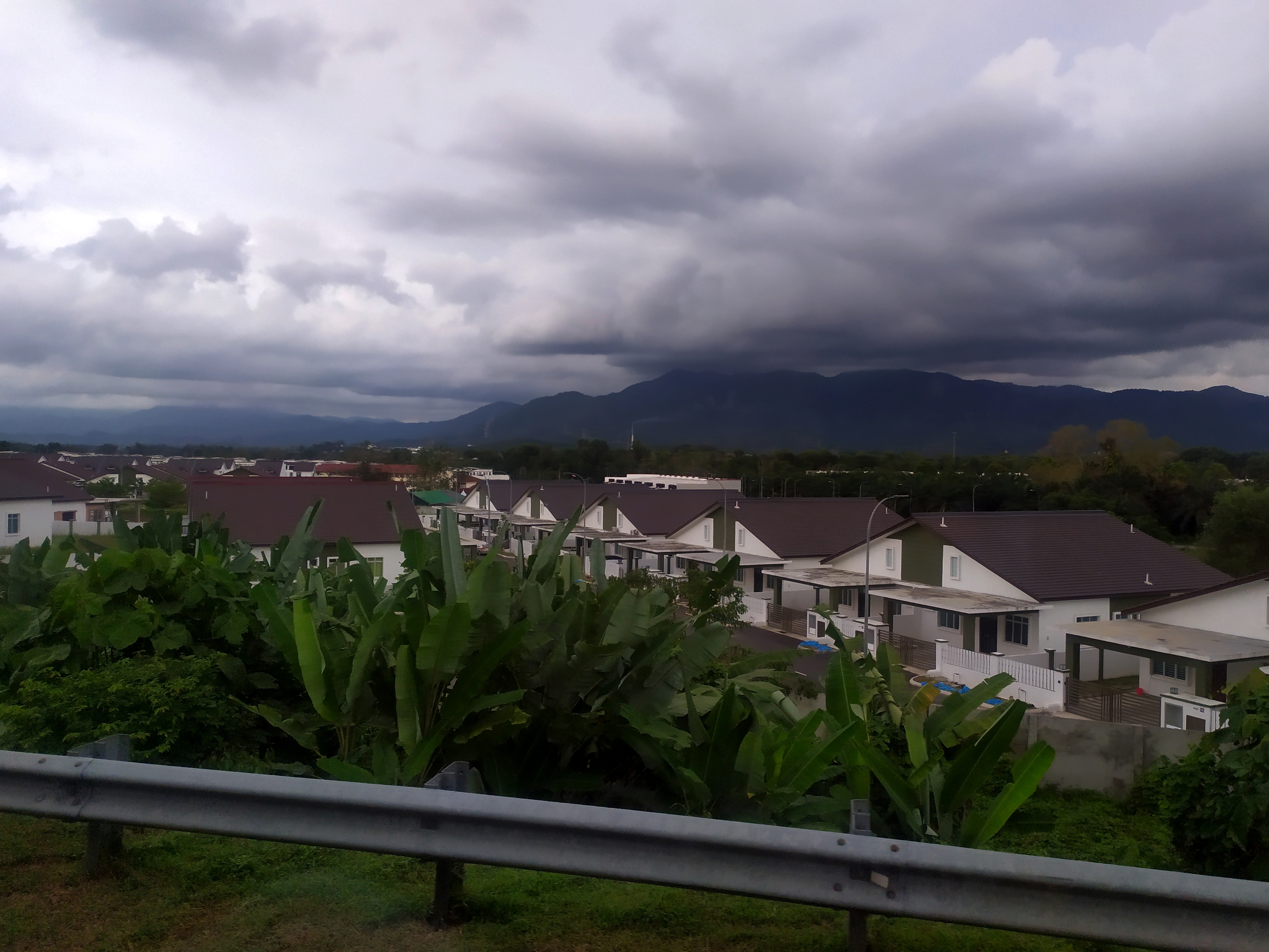
View from Above
From cruising altitude, the Titiwangsa appear as an unbroken ridge of forest, darker green than the lowland plantations on either side. On the west, oil palm estates stretch to the Strait of Malacca; on the east, the forest is thicker, the settlements fewer. The range is narrow enough that you can see both coasts of the peninsula simultaneously on a clear day, the Titiwangsa the raised seam between them. Cloud often pools along the ridgeline, especially in the afternoons, when convective weather builds over the peaks. The hill stations appear as lighter patches -- Cameron Highlands' tea plantations, Genting's white resort towers. Below and to the south, the range eventually flattens near Mount Tampin in Negeri Sembilan, where the cordillera that began in Tibet finally surrenders to the lowlands. From up here, you can trace the entire story: a mountain range that divided a peninsula, fed its rivers, anchored its forests, and shaped where millions of people built their lives.
From the Air
Centered at approximately 5.97N, 101.33E, the Titiwangsa Mountains run NW-SE along the spine of Peninsular Malaysia. The ridgeline is visible from FL350 on clear days. Expect convective buildup along the peaks in the afternoon. Nearest major airports: Kuala Lumpur International (WMKK) to the southwest, Sultan Azlan Shah Airport in Ipoh (WMKI) to the northwest, and Sultan Mahmud Airport in Kuala Terengganu (WMKN) to the northeast. Maintain safe terrain clearance -- Mount Korbu reaches 2,183 meters (7,162 feet).