Tombigbee River
The name tells you something is different about this river. "Tombigbee" comes from the Choctaw words itumbi ikbi -- "coffin maker" or "box maker." No one is entirely sure why the Choctaw gave it that name, but the river carried weight long before Europeans arrived. For centuries, the Tombigbee formed the eastern boundary of Choctaw lands, a natural border that held until the forced removals of the 1830s stripped the nation of its territory. Today the river stretches roughly 200 miles from its headwaters in northeastern Mississippi to its confluence with the Alabama River, where the two merge to form the short Mobile River before emptying into Mobile Bay and the Gulf of Mexico. It is one of the principal commercial navigation routes in the southern United States, a working river that still earns its keep.
The Choctaw Boundary
Before it was a shipping channel or a line on a map, the Tombigbee was a cultural edge. The river marked the eastern limit of the Choctaw homeland from at least the 17th century, when the Choctaw people coalesced as a distinct nation in what is now central Mississippi. Everything west of the Tombigbee was Choctaw country; everything east belonged to other peoples and, eventually, to expanding colonial powers. The river was not just geography but identity -- a line drawn by water that separated communities, languages, and ways of life. That boundary held for generations until the Indian Removal Act of 1830 and the treaties that followed forced the Choctaw west to Indian Territory. The river remained, but the people who had defined themselves by it were gone.
A River That Meanders and Connects
The Tombigbee begins just south of the Pharr Mounds in Itawamba County, Mississippi, ancient burial mounds built roughly 2,000 years ago by peoples of the Middle Woodland period. From there, the river flows through a series of lakes created by lock and dam systems -- Aberdeen Lake, Columbus Lake, Aliceville Lake on the Mississippi-Alabama border -- before turning into a deeply meandering course across western Alabama. It passes Gainesville and Demopolis, where the Black Warrior River joins from the northeast, then continues south through Sumter and Choctaw counties. Past the town of Jackson, it merges with the Alabama River roughly 30 miles north of Mobile to form the Mobile River. The Tennessee-Tombigbee Waterway, a massive federal project completed in the 1980s, connects the river's upper reaches to the Tennessee River, creating an inland waterway that links the Gulf of Mexico to the Ohio and Mississippi river systems.
The Cahaba Goes Under
On April 28, 1979, the tugboat M/V Cahaba was working the Tombigbee near Demopolis, trying to push two coal barges under a flooded side-span of the old Rooster Bridge. The river was near flood stage, and the drawbridge section failed to reopen fast enough. The current pinned the Cahaba's starboard side against the bridge with such force that the boat was pulled downward and fully submerged. But one engine kept running. The captain, partially underwater, managed to steer the sinking tug into a flooded cornfield and anchor it there. Another tugboat, the M/V Tallapoosa, came downstream and rescued the captain and all three crew members. The two coal barges were later towed to Mobile by the company's towboat M/V Mauvilla -- the same vessel that would gain notoriety fourteen years later in the 1993 Big Bayou Canot train wreck, one of the deadliest rail disasters in modern American history.
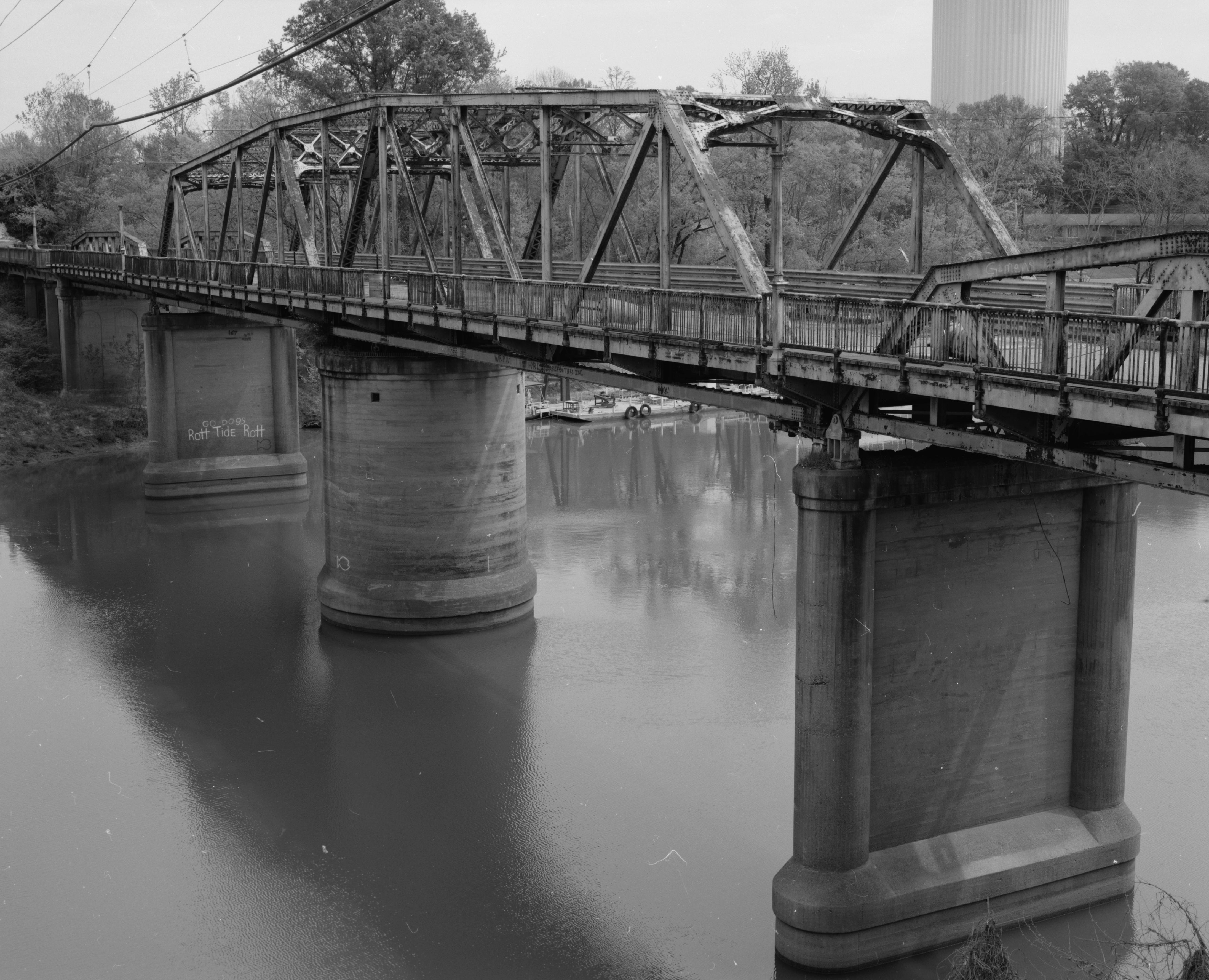
Barges, Locks, and the Working South
The Tombigbee is not a recreational river in the way that mountain streams or coastal waterways attract tourists. It is a working corridor. Barges carrying coal, timber, grain, and petroleum products navigate its length through a system of locks and dams maintained by the U.S. Army Corps of Engineers. The Tennessee-Tombigbee Waterway, stretching 234 miles with ten locks and a series of canal cuts, transformed the upper river into a modern shipping channel when it opened in 1985 after over a decade of construction. The waterway was one of the largest and most expensive civil works projects in American history, and it remains controversial -- critics questioned whether the traffic would justify the cost. But for the small towns along the Tombigbee's banks -- Demopolis, Gainesville, Jackson -- the river has always been the reason they exist, the artery that connected them to the wider world.
The Waltz That Carries the Name
Far from the barges and the locks, the Tombigbee has a quieter legacy in American music. The "Tombigbee River Waltz" is a beloved old-time fiddle tune, performed by musicians including James Bryan, Kenny Jackson, Jay Ungar, and Eric Hatling. A related song, simply called "Tombigbee River," appeared as a Charles Ingalls tune in the Little House books, embedding the river's name in the imaginations of generations of young readers. The melody carries something of the river's character -- unhurried, winding, deeply rooted in a particular stretch of the American South. From the air, the Tombigbee reads as a broad, sinuous ribbon of brown water cutting through flat green terrain, its oxbow lakes and abandoned meanders tracing the paths it once followed. It is a river that has been shaping this landscape for millennia, and it is not finished yet.
From the Air
The Tombigbee River confluence with the Alabama River is located at approximately 31.14N, 87.94W, about 30 miles north of Mobile, Alabama. The river flows roughly 200 miles from northeastern Mississippi (near the Pharr Mounds) through western Alabama. Nearest major airport is Mobile Regional Airport (KMOB) to the south; Demopolis Municipal Airport (KDYA) sits along the river's mid-section. From cruising altitude, the river is clearly visible as a broad, winding waterway with distinctive meanders, oxbow lakes, and the lock-and-dam structures of the Tennessee-Tombigbee Waterway in its upper reaches. The confluence with the Black Warrior River near Demopolis and the final merge with the Alabama River north of Mobile are prominent visual landmarks.