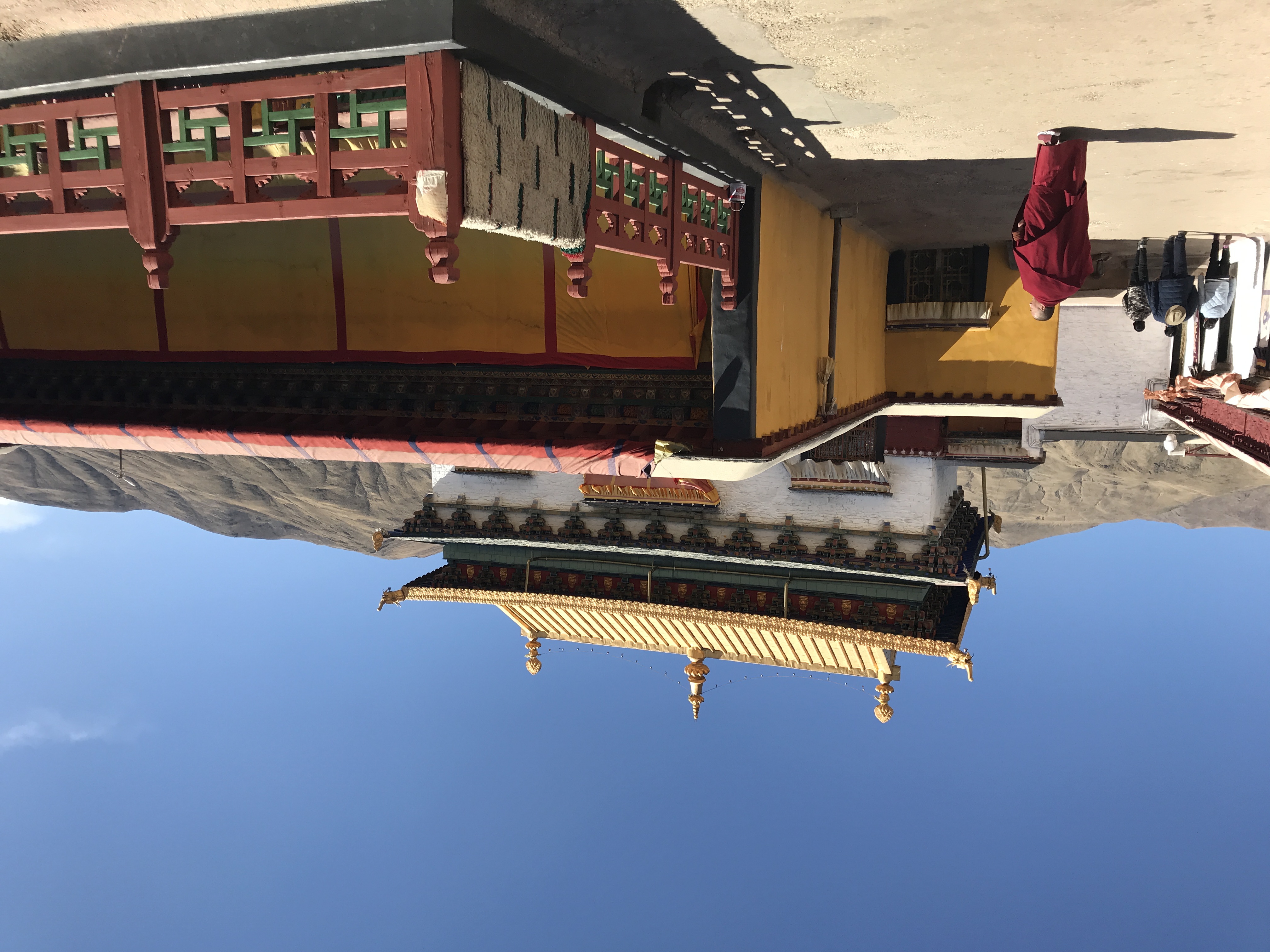
Tradruk Temple
Before the temple could be built, a dragon had to die. The story goes that a lake once occupied this site in the Yarlung Valley, and in the lake lived a dragon with five heads. King Songtsen Gampo sat in meditation until he summoned a massive falcon, which attacked the dragon and drank every drop of water from the lake. The dry ground became the foundation for Tradruk Temple, and the name itself, which evokes the hawk that subdued the serpent, preserves the legend in every syllable.
Pinning Down an Ogress
Tradruk belongs to a network of twelve geomantic temples said to have been built across Tibet to hold down a huge supine ogress, a rakshasi, whose body lay beneath the land. The Jokhang in Lhasa stands on her heart. Katsel and Gyama in Maizhokunggar County pin her right shoulder. Tradruk was placed on her left shoulder, one piece in a vast architectural acupuncture intended to subdue the demonic forces of the landscape. Whether this founding myth reflects actual 7th-century geomantic planning or later mythology projected backward, the result is the same: Tradruk sits at a position of structural importance in the Tibetan sacred imagination, holding down one corner of a spiritual architecture that spans the entire plateau.
Older Than Lhasa's Holiest
Some sources rank Tradruk as the second of Tibet's earliest great geomantic temples, built after the Jokhang. Others place it earlier. The ambiguity makes it one of the most debated sites in Tibetan architectural history. What is agreed upon is that King Songtsen Gampo ordered its construction in the 7th century, making it contemporary with the founding of the Tibetan Empire. Today the complex covers 4,667 square meters and holds national protection status. It is the largest and most important surviving royal foundation in the Yarlung Valley, which is saying something in a valley crowded with palaces and monasteries that all claim to be Tibet's first or oldest. Alternate names accumulate like sediment: Trandruk, Tradrug, Trandrug, Trangdruk, Changzhu Si. Each transliteration represents a different era's attempt to pin down the same place.
The Bell and the Queen
An ancient bell at Tradruk carries an inscription that captures the temple's devotional purpose in a single passage. It reads: 'This great bell was installed here to tell the increase of the life-time of the divine btsan-po Khri Lde-srong-brtsan. The donor Queen Byang-chub had it made to sound like the sound of the drum roll of the gods in the heavens and it was cast by the abbot, the Chinese monk Rin-cen as a religious offering from Tshal and to call all creatures to virtue.' The inscription places the bell at the intersection of royal patronage, Chinese Buddhist craftsmanship, and Tibetan spiritual ambition. A queen commissioned it. A Chinese monk cast it. Its purpose was to call every living being toward goodness, a goal as vast and impractical as building a temple to pin down a demon.
Flowers for the Falcon
Each June, ritual dances are performed at Tradruk in a ceremony called the Metok Chopa, the Flower Offering. The main building stands surrounded by several smaller shrines, and the complex forms a stop on the Yarlung pilgrimage route known as the three sanctuaries, three chortens, a circuit that links Tradruk with the valley's other sacred sites. Seven kilometers south of the county seat of Tsetang in Nedong County, the temple sits in the heart of the Lhoka region. Pilgrims who complete the circuit move between sites that span the entire range of Tibetan religious history: from the pre-Buddhist legends of dragons and sky-cords to the philosophical sophistication of mandala-shaped monasteries. Tradruk occupies the earliest layer, the one where meditation summoned falcons and architecture held the earth together.
From the Air
Tradruk Temple is located at 29.19N, 91.77E in the Yarlung Valley, about 7 km south of Tsetang in Nedong County. Elevation approximately 3,600 meters. The temple complex covers 4,667 square meters and is visible as a cluster of buildings with surrounding shrines. Nearest major airport is Lhasa Gonggar (ZULS), about 180 km northwest. Approach from the north along the Yarlung Valley. Yumbulagang Palace is visible on its hilltop approximately 5 km to the south. Best viewed at 8,000-10,000 feet AGL.