Annie's Dell and the Cobblestones That Built San Francisco
The cobblestones under San Francisco's oldest streets came from somewhere. Many of them came from here -- a stretch of volcanic hills at the northern edge of Sonoma Valley where quarry workers chipped and hauled stone in the years after the 1906 earthquake, feeding a city's desperate hunger to rebuild itself on solid ground. A century later, those quarries have gone silent. The hills they gouged have softened under oak canopy and chaparral, and the 5,092 acres they once scarred are now Trione-Annadel State Park -- a place where the evidence of human ambition is slowly being absorbed back into the landscape that produced it.
Glass Knives in the Volcanic Soil
Long before the quarry workers arrived, the Southern Pomo and Southern Wappo peoples knew this land for what lay beneath its surface: obsidian. The volcanic glass, born from ancient eruptions, could be knapped into edges sharper than surgical steel. Archaeological evidence suggests the area served as a quarry for at least 3,000 years, producing scrapers, knives, arrowheads, and spearheads that traveled through trade networks far beyond Sonoma Valley. No full-scale villages have been discovered within the park's current boundaries -- this was a working landscape, a place you came to gather material and then carried it home. The Pomo and Wappo inhabited the riparian zones and marsh edges, where water and game were reliable. Their relationship with the land was extractive in the narrowest sense: they took what they needed and left the rest intact.
From Annie's Dell to Earthquake Rubble
The park's name contains a human story compressed into a single word. "Annadel" derives from Annie Hutchinson, whose family owned much of this land around 1900. Locals called the area "Annie's Dell," and the name stuck even as the landscape was transformed. In 1837, the land had been part of the Rancho Los Guilicos Mexican land grant. Scottish immigrant William Hood purchased it in 1848 -- nearby Hood Mountain still carries his name. But it was the cobblestone quarries that reshaped the terrain most dramatically. The Wymores and the Hutchinsons ran quarry operations that fed the building boom of west coast cities, and demand surged after the 1906 San Francisco earthquake when an entire city needed repaving. Then the automobile arrived, and drivers expected smoother roads than cobblestone could offer. By 1920, the quarries were winding down.
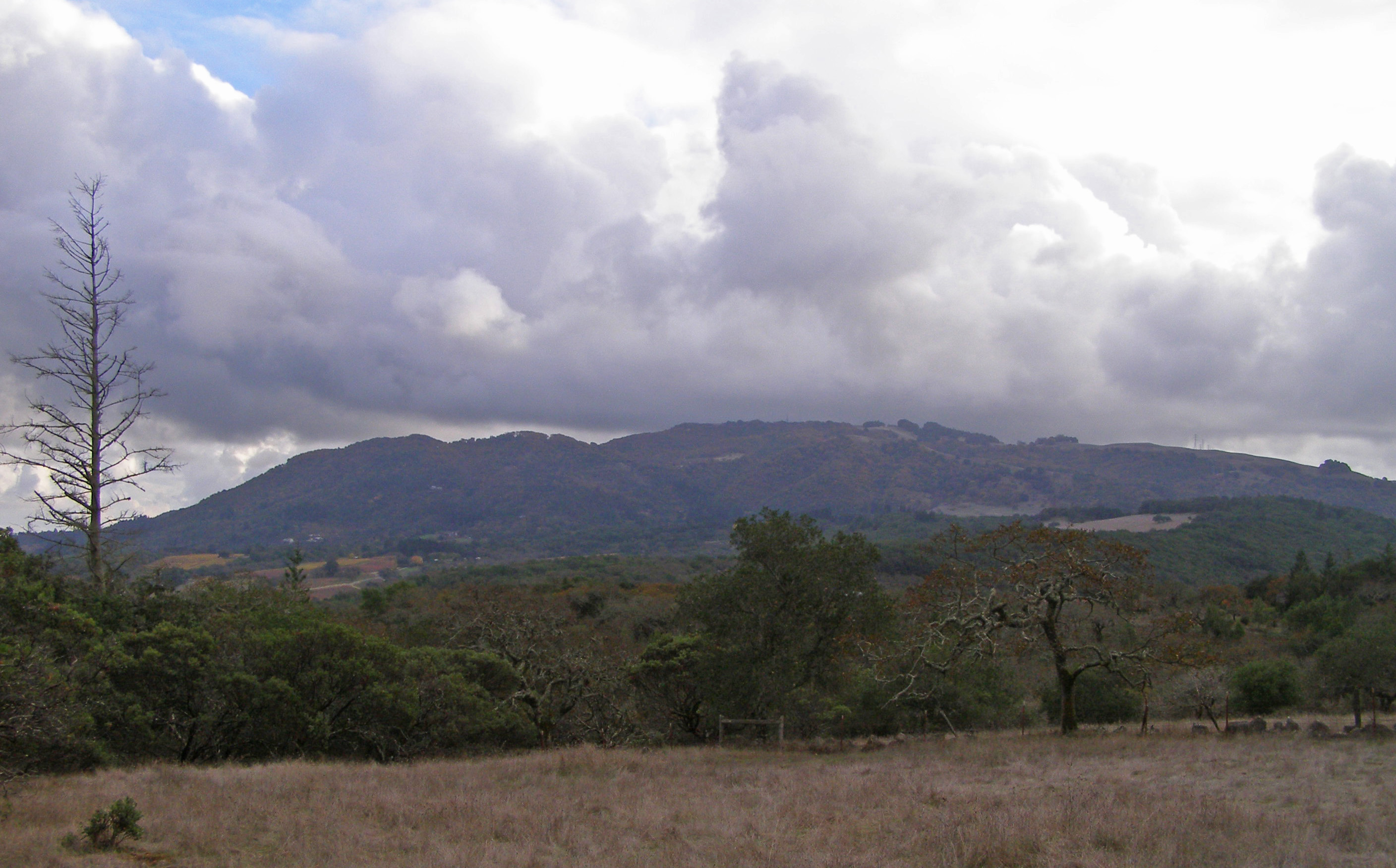
The Cathedral of Oaks
What grew back is remarkable. Biologists consider Annadel home to the finest example of undisturbed northern oak woodlands in existence -- a claim that carries weight when you walk beneath the canopy. Coast live oak, Garry oak, black oak, Pacific madrone, bigleaf maple, and California laurel form a cathedral ceiling overhead, while the understory bristles with native bunchgrasses, toyon, and a blanket of western poison oak that covers nearly a quarter of the forest floor. Douglas fir colonizes the cooler north-facing slopes and steep riparian corridors. Black-tailed deer and western gray squirrels move through the open woodlands. Bobcats and mountain lions patrol the edges, rarely seen but reliably present. From April through June, wildflowers transform the grasslands into color that is visible even from the air -- a seasonal signal that the volcanic soil beneath all this green is still extraordinarily fertile.
Saved Twice
Annadel nearly became a housing development. In the late 1960s, the land -- by then accumulated by rancher Joe Coney, who had also mined perlite from the obsidian deposits -- was attracting the attention of residential developers. Henry Trione, a Santa Rosa power broker, and his hunting companion Joe Long of Long's Drugs assembled a $5 million package that steered the property toward public protection instead. Annadel entered the California State Park system in 1971. But salvation is not always permanent. In 2012, a statewide budget crisis threatened to close Annadel and dozens of other parks. Trione stepped in again with $100,000 to keep the park operating under county administration. When the State of California officially renamed it Trione-Annadel State Park in July 2016, it was acknowledging a debt that could not be measured in acreage alone. The 2017 Nuns Fire burned the southern portion of the park, and the 2020 Glass Fire scorched its northern edge -- but the oaks, adapted to fire over millennia, are growing back.
From the Air
Located at 38.429N, 122.625W on the northern edge of the Sonoma Valley, adjacent to Spring Lake Regional Park on the outskirts of Santa Rosa. The park's 5,092 acres of oak-covered hills and grasslands are visible as a large undeveloped green patch east of Santa Rosa's urban edge. Ledson Marsh, in the park's interior, is a distinctive feature. Nearest airports: Charles M. Schulz-Sonoma County Airport (KSTS) approximately 8 nm northwest, and Napa County Airport (KAPC) roughly 20 nm east. The park sits between Highway 12 (Sonoma Highway) to the south and Santa Rosa to the north. Fire scars from 2017 and 2020 may still be visible on southern and northern slopes respectively.