Trollhätte Canal
For over two centuries, sailors have called it Sweden's Blue Ribbon - the waterway that threads through western Sweden, connecting the salt waters of the Kattegatt to the vast freshwater expanse of Lake Vänern. The Trollhätte Canal opened in 1800, when Europe's other great powers were still fighting Napoleonic wars, and it transformed landlocked Swedish industry forever. Today, watching a cargo vessel rise through the triple lock staircase at Trollhättan, you witness the same gravitational negotiation that amazed travelers in the age of sail.
Threading Two Seas
The canal forms the western half of a remarkable 390-kilometer route that cuts Sweden in two, linking the North Sea with the Baltic without rounding the treacherous Scandinavian peninsula. Most of its 82 kilometers follow the natural course of the Göta Älv river - only 10 kilometers required carving through Swedish bedrock. At its highest point, the waterway reaches Lake Vänern at 44 meters above sea level, the largest lake in the European Union and the third largest in all of Europe. Ships classified as Vänermax - the maximum dimensions for passage - can measure 88 meters long with a draft of 5.4 meters, squeezing through locks that have shaped Swedish commerce for generations.
Rising Through Stone
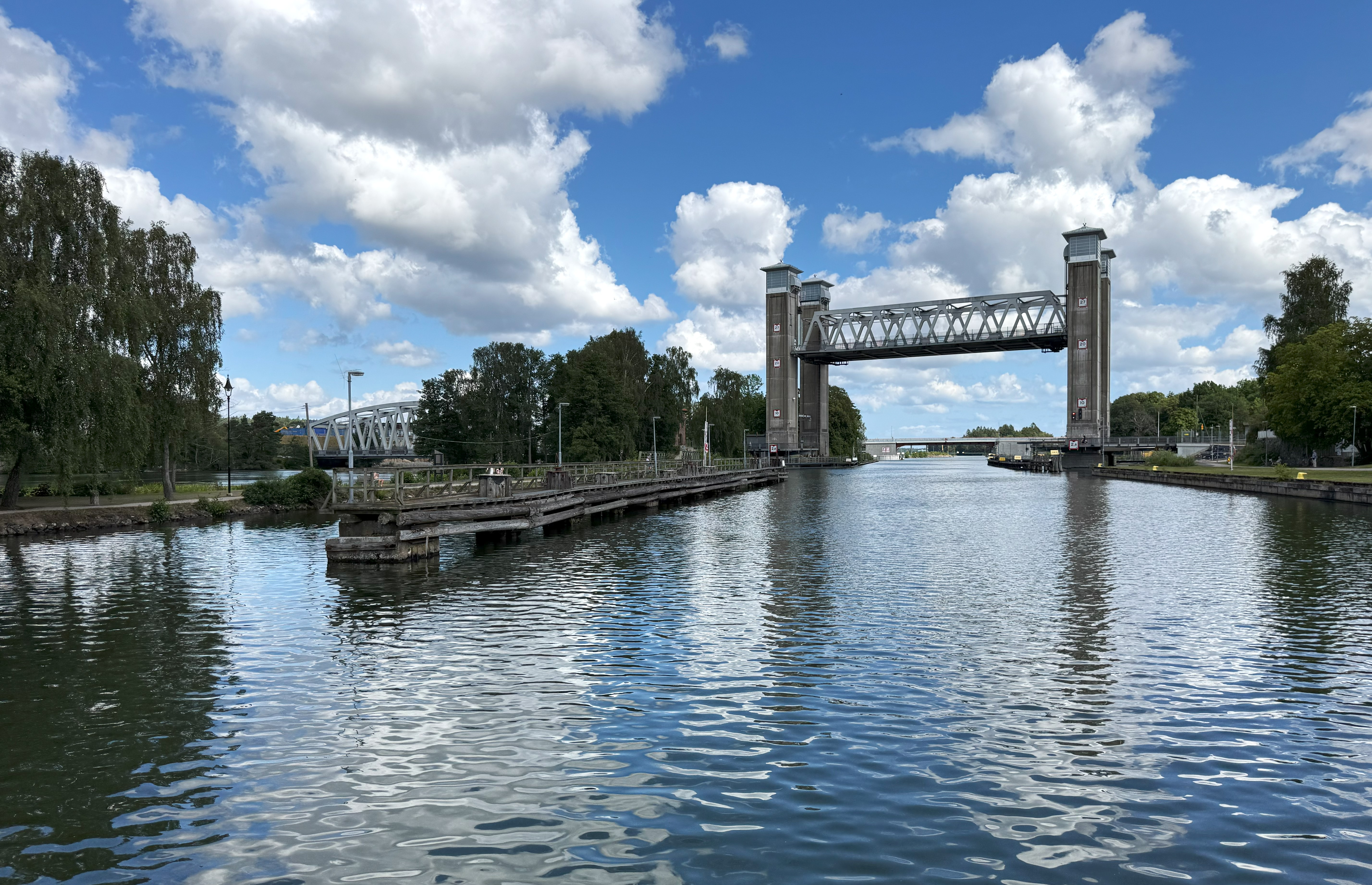
Six locks lift vessels from Gothenburg's sea level to Vänern's elevated waters. The most dramatic engineering appears at Trollhättan, where the Slusstrappan - a triple lock staircase - raises ships 23 meters in a single continuous climb. Each chamber fills with thousands of cubic meters of water, controlled by gates that have operated since 1916. Above the staircase, the town that gave the canal its name grew from the falls that once blocked all navigation. The Trollhättan waterfalls, now largely diverted for hydroelectric power, still thunder during scheduled releases, reminding visitors of the natural obstacle that engineers spent centuries learning to bypass.
A Century of Service
The current locks have served for over a hundred years, built with early twentieth-century materials and methods that their designers never imagined would still be in daily use. Modern freighters strain against the dimensions established when vessels were smaller and trade moved slower. Ice and water have worn the granite and concrete, and Swedish transport authorities estimate safe operation may become impossible after 2030. A major renovation planned for 2025-2032 will rebuild the infrastructure for another century, preserving the canal's role as a working waterway rather than letting it fade into pure heritage.
National Treasure
In 2004, Sweden proclaimed the Trollhätte Canal a national monument, recognizing the waterway that industrialized a nation. The canal carried Swedish iron and timber to world markets, brought manufacturing supplies upstream, and connected communities that geography had separated. It remains distinct from its famous sibling, the Göta Canal to the east - contrary to popular belief, these are separate waterways that happen to share a destination. Together they complete Sweden's Blue Ribbon, but the Trollhätte Canal came first, and for pure industrial significance, it stands alone.
From the Air
Located at 58.39°N, 12.32°E near the city of Trollhättan in western Sweden. The canal runs roughly north-south, visible as a linear feature parallel to the Göta Älv river. Best viewed at 3,000-5,000 feet where the lock staircases at Trollhättan become visible. The nearest major airport is Gothenburg Landvetter (ESGG), approximately 60 kilometers southeast. Trollhättan-Vänersborg Airport (ESGT) lies immediately adjacent to the canal. Lake Vänern provides an unmistakable navigation reference to the north.