Tryal Rocks
For 347 years, the Tryal Rocks did not officially exist -- at least not where anyone was looking for them. Described by early navigators as "the theme and dread of every voyager to the eastern islands," this reef 14 kilometres northwest of the Montebello Islands sank an English merchant ship in 1622, then slipped off the charts into legend, doubt, and outright denial. Captains searched for the rocks and failed. The British Admiralty declared them non-existent. Cartographers relocated them, misidentified them, and eventually gave up. It was not until 1969, when divers found the wreck of the Tryall itself scattered across the reef, that the mystery was finally laid to rest.
A Captain Far Off Course
The Tryall was only the second English ship to attempt the Brouwer Route, a Dutch-pioneered sailing path from the Cape of Good Hope to Batavia -- modern-day Jakarta -- that exploited the powerful westerly winds of the Roaring Forties. The route, in use by Dutch vessels since 1616, required ships to sail east across the Indian Ocean at around 40 degrees south latitude before turning north toward the Indonesian archipelago. The trick was knowing when to turn. Captain John Brookes got it catastrophically wrong. He underestimated the Tryall's longitude by roughly a thousand kilometres, which meant that when the ship swung north it was not in open ocean but skirting the uncharted west coast of Australia. Around 11 pm on 25 May 1622, the Tryall struck a submerged reef and sank. Ninety-three of the 143 people aboard drowned. Brookes survived, along with 49 others, but his subsequent report was so vague it did not even include a position for the wreck -- a deliberate act of obfuscation, historians believe, to disguise just how badly off course he had been.
The Phantom Reef
Brookes' evasiveness had consequences that lasted centuries. Because no reliable position existed for the wreck, the Tryal Rocks were plotted far to the west of their actual location -- an error of approximately ten degrees of longitude. The first known map to show them appeared in 1627, when Dutch cartographer Hessel Gerritsz published his Caert van't Landt van d'Eendracht with a notation in the corner: "Here the English ship Trial was wrecked in June 1622." Numerous Dutch and English expeditions searched for the rocks at their supposed position and found nothing. In 1636, two Dutch ships conducted the first dedicated search and came up empty. By the early 1700s, doubt had hardened into dismissal. In 1705, the captain of the Jane wrote in his journal that he had hove to "according to custom, on account of the Tryal Rocks (if they exist)," and correctly guessed that they must lie much farther east than charted. The British Admiralty eventually declared the rocks non-existent.
Rediscovery by Degrees
The Admiralty's declaration did not settle the matter. Charts continued to show the rocks in various wrong locations, and sailors continued to wonder. In 1846, John Lort Stokes placed the Tryal Rocks between the Montebello Islands and Barrow Island -- closer to the truth, but still off. Admiralty Sailing Directions as late as 1917 described the rocks as lying "near the outer edge of the S.W. part of Monte Bello Islands reef and 5 mi off the North extreme of Barrow Island." It was Commander Rupert Gould who, in a 1928 survey, declared that a formation known as Ritchie's Reef was definitively the Tryal Rocks. But final proof required finding the ship itself. That came in 1969, when an exploration team located the wreck of the Tryall on the reef, confirming both the location and the identity of the rocks that had haunted navigation for over three centuries.
Two Coral Reefs in the Indian Ocean
Today, Tryal Rocks consist of two coral reefs lying close together, roughly 1.25 nautical miles in length running northeast to southwest. The southern reef dries to 2.7 metres at low tide. They sit 105 kilometres off the Australian mainland, in waters where depths of less than 20 metres extend six miles to the southwest and four miles to the northwest -- depths that cause the sea to break in bad weather, just as it broke against the hull of the Tryall four centuries ago. A navigable channel seven miles wide separates the rocks from the Montebello Islands. The reef is part of Western Australia, a tiny hazard on a vast coast, but one that carries the weight of Australia's oldest known shipwreck and one of maritime cartography's most stubborn errors.
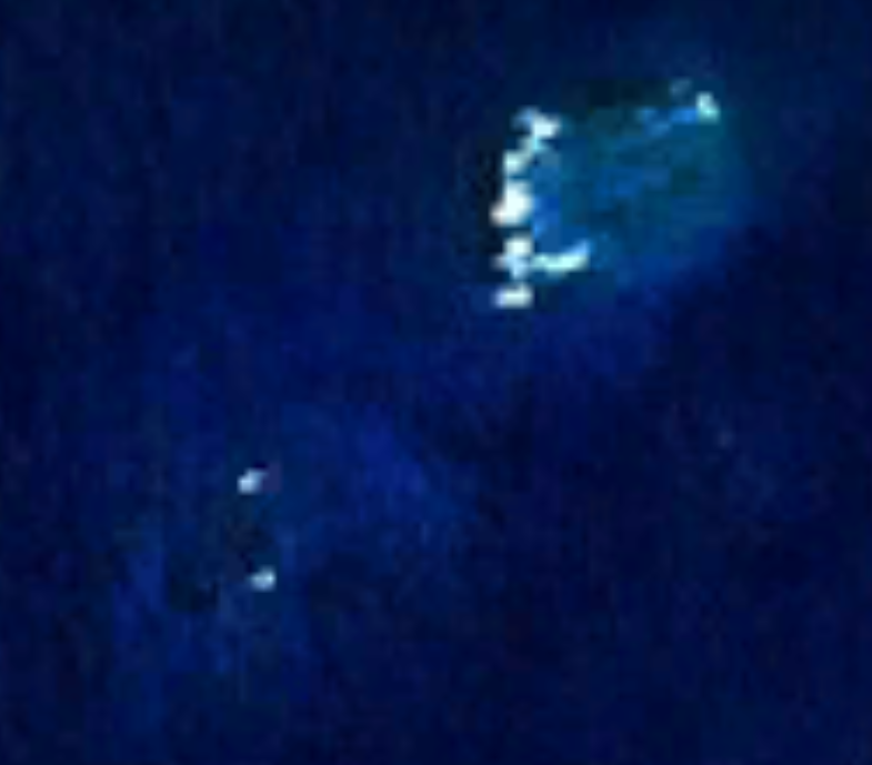
From the Air
Tryal Rocks lie at approximately 20.28S, 115.37E in the Indian Ocean, 14 km northwest of the Montebello Islands and about 105 km off the Western Australian mainland. The reef is barely visible from altitude except in calm, clear conditions -- look for breaking water or shallow turquoise patches against the deeper blue. The Montebello Islands to the southeast provide a good visual reference. Nearest airports: Learmonth (ICAO: YPLM) and Onslow (ICAO: YOSN). Best viewed at 2,000-5,000 ft in clear weather. Caution: the reef is a navigational hazard for low-level flight over water.