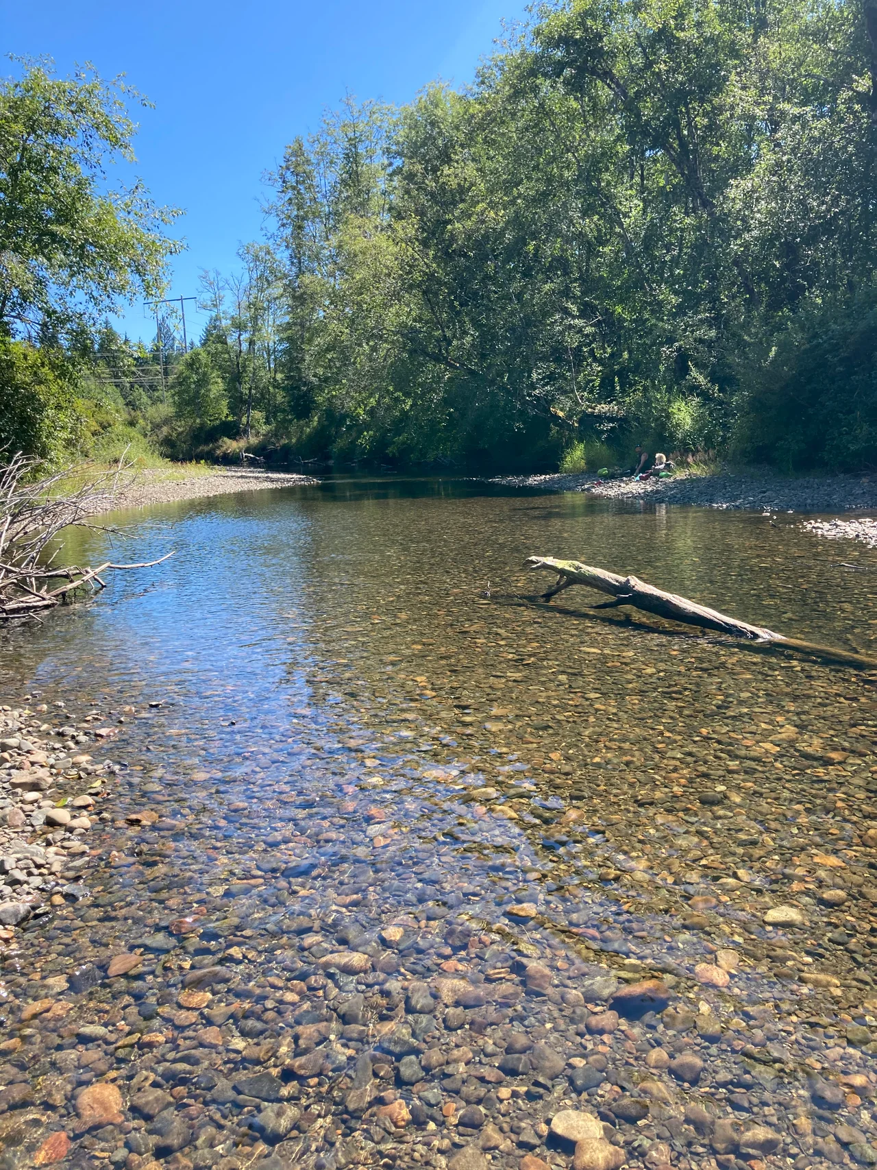

Tsolum River
In 1984, biologists counting coho salmon in the Tsolum River found fourteen. Not fourteen thousand. Fourteen fish, in a river that had once carried an estimated 15,000 of them up out of the Strait of Georgia every autumn. Nothing had been built across the river, no dam blocked it, no city sat on it. The cause was a copper mine on the shoulder of Mount Washington that had operated for three years, gone bankrupt, and walked away. It left 940,000 tonnes of broken rock exposed to Vancouver Island rain, and that rock spent the next four decades quietly manufacturing sulphuric acid and washing dissolved copper down into the salmon.
A Name That Took Seventy Years to Settle
The river had trouble being called anything consistently. Admiralty charts labelled it River Courtenay. Dr. Robert Brown of the Vancouver Island Exploring Expedition wrote it down as Courtney River. One early reference dismisses it entirely as the slough known as Tsalum. The spelling Tzolum turned up on a BC Lands map in 1895, reappeared in 1905, and only in 1922 did the present form, Tsolum River, become official. Surveyors could not agree even on where it ended: the Tsolum runs down the Comox Valley and joins the Puntledge at Courtenay, and the two together become the Courtenay River for the last short run to the sea. It is a small river with a complicated paper trail, which makes what happened to it easier to overlook.
Three Years of Work, Forty of Consequences
The Mount Washington Copper Mining Company moved into the headwaters in 1964 and started a small open pit. By 1967 it was finished and gone, its Japanese backers bankrupt after less than three money-losing years of operation. Mining had lasted barely two full seasons, but the arithmetic of the aftermath is what matters: 940,000 tonnes of sulphide-bearing waste rock, left uncovered on a mountainside in one of the wettest regions in Canada. Rain and air working on that rock generate acid, and acid strips copper out of the stone and carries it downhill in solution. Dissolved copper does not have to be abundant to be devastating. At a few parts per billion, it destroys the sense of smell young salmon use to find their way home and kills the insect life the fry depend on. The river looked perfectly clear the whole time.
Two Hundred Neighbours
In 1997, more than two hundred residents of the Comox Valley formed the Tsolum River Task Force. They were farmers, anglers, retired biologists, and people who had simply grown up swimming in the thing. The company that caused the problem no longer existed, so there was nobody to sue and nothing to recover. What the group had instead was persistence: monitoring water chemistry year after year, publishing numbers nobody in government especially wanted, and refusing to let the file close. It took them a decade to force the question of who would pay to cover a mountainside that a bankrupt company had left open.
A Roof Over the Mountain
The answer, funded with $4.5 million the province's Treasury Board approved, was almost absurdly simple in concept and difficult in execution. If rain and oxygen make the acid, keep rain and oxygen out. Starting in 2009, crews sealed the waste rock under a waterproof membrane of bitumen-impregnated polyester and buried it beneath 128,000 tonnes of gravel. The response took a few years to show in full. In 2013, roughly three years after the pit was capped, about 61,800 pink salmon returned to spawn in the Tsolum - the largest run since the 1950s. Two years later, in 2015, 129,000 pinks came back, a record since counts began in 1953.
What the River Costs
The Tsolum is now one of the more encouraging environmental stories on Vancouver Island, and also one of the more sobering. Three years of extraction produced more than forty years of damage and a cleanup bill carried by taxpayers rather than by anyone who profited. The fish are returning, though a run rebuilt from fourteen animals takes generations to recover its depth. On a clear day in the Comox Valley the river reads as pure pastoral: alders leaning over the banks, gravel bars, the white cone of Mount Washington visible upstream where the whole thing began. Both facts are true at once, and the people who spent twenty years in meetings to get here would tell you that neither cancels the other.
From the Air
The Tsolum River lies at roughly 49.696N, 124.994W, draining south through the Comox Valley on eastern Vancouver Island to meet the Puntledge River at Courtenay, where the two form the short Courtenay River into Comox Harbour. From the air, follow the green agricultural corridor north from Courtenay: the Tsolum threads through farmland and second-growth forest, with Mount Washington's ski runs and the Beaufort Range rising to the west as the defining landmark, and the Strait of Georgia and Comox Harbour to the east. CFB Comox (CYQQ), a large joint military and civil field, sits about 5nm east and controls the surrounding airspace, so check approach procedures before transiting; Campbell River Airport (CYBL) is roughly 25nm northwest and Qualicum Beach (CAT4) about 30nm southeast. Best viewed at 2,000 to 4,000 feet following the valley axis. Cloud frequently caps Mount Washington while the valley floor stays clear.
Nearby Stories
- Mitlenatch Island Nature Provincial Park 3.4 km away
- Texada Island 4.5 km away
- Qualicum College 4.5 km away
- Stamp River Provincial Park 7.1 km away
- Colony of Vancouver Island 14 km away
- Powell Lake 18 km away
- Fort Defiance 33 km away
- Schoen Lake Provincial Park 59 km away