Tsumago-juku
Telephone poles have been buried underground. Cars are banned from the main street. Power lines run behind the buildings, invisible from the road. Tsumago-juku, the forty-second of sixty-nine post towns on the Nakasendo highway connecting Edo and Kyoto, is a village that decided in 1971 to stop time. The residents signed a charter declaring that no property in Tsumago would be sold, rented out, or destroyed. It was radical preservation decades before such thinking became fashionable, and it worked. Today, dark-timbered buildings with latticed windows and overhanging eaves line a narrow street of packed earth, looking almost exactly as they did when samurai, merchants, and pilgrims passed through during the Edo period.
Waystation on the Mountain Road
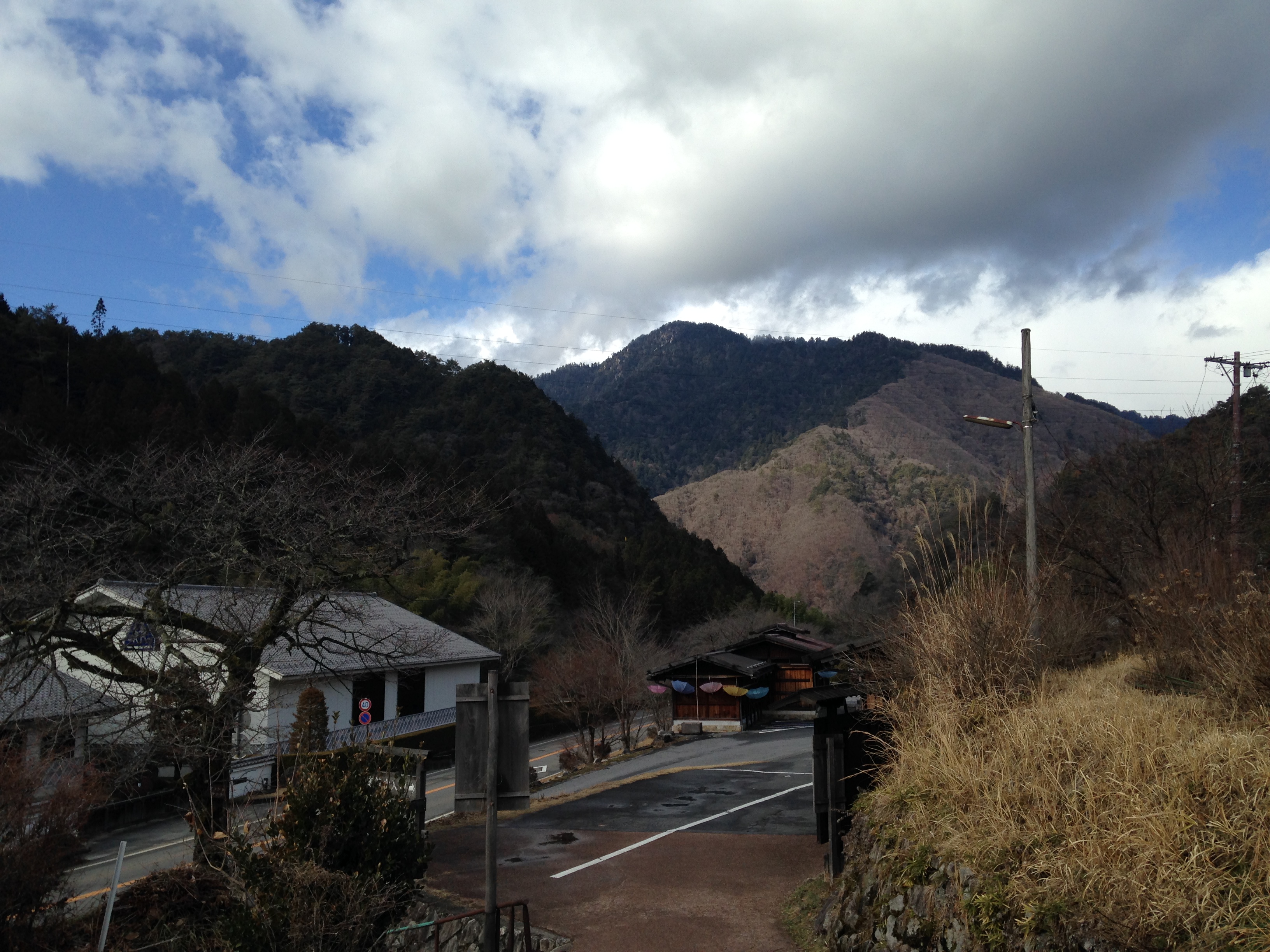
The Nakasendo was one of feudal Japan's great highways, a 540-kilometer route threading through the mountainous interior between Edo (modern Tokyo) and Kyoto. Unlike its coastal rival, the Tokaido, the Nakasendo climbed through the rugged Kiso Valley, winding between peaks of the Central Alps. Tsumago sat at the forty-second station, nestled in a narrow valley at the southern end of the Kiso District. Before the Nakasendo was formalized, Tsumago was already the tenth of eleven stops along the Kisoji, an older trade route through the valley. The town prospered on the traffic of travelers needing food, lodging, and fresh horses. Its honjin, the official inn reserved for feudal lords and their retinues, anchored the town's commercial life. The waki-honjin, the secondary inn called Okuya, served travelers of slightly lower rank. Both still stand, though the honjin was rebuilt in 1995 after the original was lost. The Okuya, however, is authentic, its timbers unchanged since the Edo era, and was designated an Important Cultural Property in 2001.
The Village That Refused to Vanish
When the railroad arrived in the late 19th century, the Nakasendo lost its reason for being. Tsumago's economy collapsed. Young people left for cities. Buildings sagged and rotted. By the 1960s, the town seemed destined for the slow erasure that claimed so many rural Japanese communities. Then, in 1968, a group of local residents began something unprecedented. They pooled resources and labor to restore the crumbling post town structures. By 1971, twenty houses had been rebuilt, and the community ratified their remarkable charter: nothing in Tsumago would be sold, hired out, or destroyed. In 1976, the Japanese government recognized what the villagers had accomplished, designating Tsumago as a Nationally Designated Architectural Preservation Site. It became the first town in Japan registered as an important preservation district for groups of historic buildings, a model that dozens of communities would later follow.
Walking Between Centuries
The most celebrated way to experience Tsumago is on foot, along the eight-kilometer trail connecting it to neighboring Magome-juku, the next post town south on the Nakasendo. The path climbs from Magome at 600 meters elevation to a pass at 801 meters, then descends through cedar forest to Tsumago at 420 meters. The walk takes roughly three hours at an unhurried pace, passing waterfalls, stone-paved stretches of the original highway, and farmhouses tucked into terraced hillsides. Along Tsumago's main street, the Nagiso Museum of History documents the preservation effort and the broader tradition of machiya row houses across Japan. The Rurisan Kotoku-ji Temple sits quietly at the edge of town. Terashita street offers glimpses of daily life in a community that, despite its historical appearance, remains fully inhabited. The tourist shops are the main business now, but laundry still hangs behind latticed facades, and the smell of cooking rice drifts from upper-story windows.
Living in the Frame
Tsumago is not a museum. Families wake up here, children go to school, and neighbors exchange gossip across wooden thresholds that predate modern Japan. The preservation charter did not empty the town; it kept people in it by making the buildings their responsibility and their inheritance. The tension between authentic daily life and the steady stream of visitors gives Tsumago a texture that reconstructed historical parks cannot replicate. Great care has been taken to hide modern infrastructure from view. The town accessible via Nagiso station on the Chuo Main Line, or by road at the junction of Routes 19 and 256, maintains its illusion without becoming a theme park. The artist Hiroshige immortalized Tsumago in his woodblock print series, The Sixty-nine Stations of the Kiso Kaido. Stand on the main street in the blue light of early morning, before the first buses arrive, and the scene he captured two centuries ago is still recognizable.
From the Air
Tsumago-juku is located at 35.5753N, 137.5951E in the narrow Kiso Valley of Nagano Prefecture. From the air, look for the tight cluster of dark-roofed traditional buildings in a valley between forested ridges at the southern end of the Kiso District. The town sits at approximately 420 meters elevation. The nearest significant airport is Matsumoto Airport (RJAF), approximately 80 km to the north. Chubu Centrair International Airport (RJGG) lies about 130 km to the southwest. The Kiso Valley runs roughly north-south between the Central Alps and the foothills, with the Kiso River visible as a silver thread through dense forest.