Uintah and Ouray Indian Reservation
The Ute call themselves Nuuchi-u, 'the people.' For thousands of years before European contact, they moved through the mountains and basins of what is now Colorado and Utah, following game and seasons across a homeland that stretched from the Rockies to the Great Basin. Today, the largest remaining portion of that homeland is the Uintah and Ouray Indian Reservation - a complex patchwork of tribal, private, and federal lands sprawling across seven Utah counties in the northeastern corner of the state. The reservation's history is written in broken promises, federal seizures, and legal battles that continue into the present century.
The Gathering of the Bands
The reservation exists because the Ute bands refused to disappear. Established in 1864, the Uintah Valley Reservation became a collection point for Ute people pushed from their traditional territories throughout the region. The Ouray Reservation was added later, and in 1948 the Hill Creek Extension expanded tribal lands further. Today, the Ute Indian Tribe of the Uintah and Ouray Reservation represents the consolidated remnants of several bands - the Uintah, Whiteriver, and Uncompahgre - each with distinct histories but united by language, culture, and the shared experience of displacement. Fort Duchesne serves as tribal headquarters, the administrative center for a nation that stretches across thousands of square miles.
Death by a Thousand Parcels
The reservation's fragmented geography is a direct result of the federal government's allotment policies. Beginning in the 1890s, Congress required that reservation land be divided into small parcels assigned to individual tribal members, with 'surplus' land opened to homesteaders and mining claims. In August 1905, President Theodore Roosevelt signed a proclamation opening unallotted lands to settlement. Towns like Myton and Roosevelt sprang up on former tribal land. The Strawberry Valley was seized through eminent domain for a federal reservoir. The Uinta National Forest absorbed more acreage. By the time the Indian Reorganization Act ended the process in 1934, only about one-quarter of the original reservation remained in tribal hands - a checkerboard of ownership that would create jurisdictional chaos for generations.
A Century of Courtroom Battles
That checkerboard pattern made law enforcement nearly impossible. Whose jurisdiction applied when a crime occurred on tribal land surrounded by non-tribal property? Utah and its counties argued that congressional allotment had effectively dissolved the reservation boundaries. The Ute disagreed. In 1985, the Tenth Circuit Court of Appeals ruled decisively in Ute Tribe v. Utah, affirming the reservation's original 1864 boundaries and the tribe's jurisdiction over its members. The U.S. Supreme Court declined to hear the state's appeal. But Utah continued prosecuting Ute members in state courts anyway, in open defiance of the federal ruling. The legal war has produced multiple cases - Ute III, Ute V - and continued through 2015, when the appeals court bluntly advised the state to 'refrain from their tactics.'
Forty Communities Across Seven Counties
Despite the legal battles, life continues across the reservation's scattered communities. From Altamont to Whiterocks, from Duchesne to Randlett, approximately forty named places dot the reservation landscape. Some are tribal communities with deep roots in Ute culture; others are towns that grew from the homesteader era on what was once exclusively tribal land. Roosevelt and Duchesne serve as the largest population centers, while smaller settlements like Bluebell, Bonanza, and Neola maintain the quiet character of rural Utah. The Uintah Basin's oil and gas resources have brought economic activity but also environmental concerns. The tribe owns substantial mineral rights - one of the few economic assets that remained when the land was divided.
Sovereignty in the High Desert
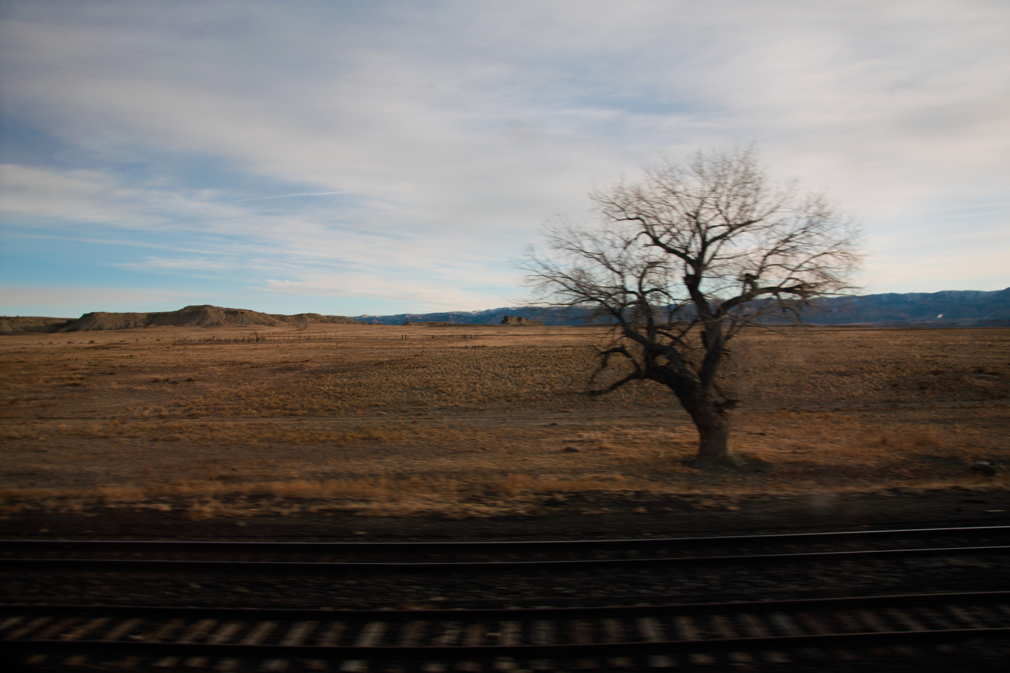
From the air, the Uintah and Ouray Reservation appears as a vast sweep of high desert, sagebrush basins, and forested mountains stretching north toward the Uinta range - one of the few major American mountain ranges running east-west. The Green River cuts through the eastern portion of the reservation, past the Ouray National Wildlife Refuge. Nothing visible from above reveals the invisible lines that divide this landscape into competing jurisdictions. Yet those boundaries matter profoundly to the Nuuchi-u who have fought for more than a century to maintain their presence on this land. The reservation stands as testimony to both what was taken and what survived - diminished but unbroken, contested but enduring.
From the Air
Located at 40.46N, 110.18W, the reservation spans parts of Uintah, Duchesne, Wasatch, Grand, Carbon, Utah, and Emery counties in northeastern Utah. The landscape ranges from high desert basin to the forested southern slopes of the Uinta Mountains. Key visual landmarks include the Green River corridor, the Strawberry Reservoir to the west, and the town of Roosevelt as the largest population center. Nearest airports include Vernal Regional Airport (VEL) to the east and Duchesne Municipal Airport (U69) within the reservation area. Best observed at 6,000-8,000 feet AGL to appreciate the scale of the reservation and its relationship to the Uinta range.