Union Bay: Coal Wharves, the Flying Dutchman, and a Heritage Row on the Highway
One night in March 1913, Henry Wagner - known along the coast as the 'Flying Dutchman' for his habit of robbing shoreline communities and escaping by motorboat - broke into the Fraser and Bishop general store in Union Bay. Two constables, Westaway and Ross, confronted him. In the gunfight that followed, Westaway was killed. Ross tackled Wagner in a bloody struggle and held him until help arrived. Wagner hanged that August. The story captures something essential about Union Bay: a community small enough that two local officers would confront an armed pirate in the dark, yet connected to forces - coal, capital, empire - far larger than itself.
Before the Coal Ships Came
Before European settlement reshaped the bay, at least 3,000 Pentlatch people lived in more than 90 villages and settlements throughout the area. The smallpox epidemic of the 1780s devastated their population, and the Lekwiltok people from the north - unaffected by that particular outbreak - attacked the weakened K'omoks with muskets, driving them southward. The 1862 smallpox epidemic then ravaged the Lekwiltok in turn. In 1946, a major earthquake on Vancouver Island toppled chimneys in Union Bay and unearthed wooden posts in the sand 15 kilometres north, physical evidence of the Pentlatch presence that disease and violence had nearly erased. During 2019-2020, excavations for a residential development at the mouth of Hart Creek unearthed Pentlatch human remains, a reminder that the land remembers what the living have forgotten.
The Dunsmuir Wharves
When Robert Dunsmuir acquired the coal operation in 1887, his surveyors redirected the planned railway nine kilometres down the coast from Royston to Union Bay, where the deep water could accommodate ocean-going vessels. The 11-mile standard-gauge line from Cumberland was completed in 1889, and the wharves that opened that year were the largest ever constructed in British Columbia. At the 1,600-foot principal wharf, four colliers could load coal simultaneously. The Dunsmuirs operated their own fleet shipping coal to San Francisco. During both world wars, the port fuelled Allied freighters, and Blue Funnel Line steamers regularly stopped to replenish their bunkers. The last sailing ship to take on coal was the Pamir in 1946; the last freighter, the Hikawa Maru, called in 1951. By 1966, when the long-abandoned coal wharf was demolished, trees had grown through the trestle deck.
One Hundred Beehive Ovens
In 1896, the colliery erected a Luhrig coal washer and built 100 beehive coke ovens from imported fire bricks. The washed coal was fired in the ovens to produce high-quality coke, while the coal gas byproduct powered boilers throughout the locality, including a brickyard. It was an integrated industrial operation that consumed the landscape and shaped the community around it. By the time the structures were demolished between 1966 and 1968, most of the ovens had already collapsed from decades of neglect, and vandals had shattered every window in the offices, storage sheds, powerhouse, and machine shops. Today the Union Bay coal hills rank among the province's priority contaminated sites. In 2017, the local improvement district sold 28 acres of poisoned land to the government for one dollar - a transaction that neatly summarizes coal's final legacy.
Heritage Row and the Wooden Post Office
Along the highway through Union Bay stands a sequence of buildings that locals call Heritage Row: an elementary school from 1915, a church from 1906, a post office from 1913, and a gaolhouse from 1901. The Union Bay Historical Society, formed in 1989, bought and restored the post office, which is one of only two wooden post offices still operating in Canada. The former gaolhouse, relocated to the same property, now serves as a gift shop and museum. The school closed in 2006 after more than ninety years of continuous use. These buildings survived because they were modest enough to avoid demolition and sturdy enough to outlast the industries that built them. In a community where the coal wharves, the coke ovens, the hotels, and the general stores have all been destroyed by fire, neglect, or deliberate demolition, Heritage Row endures as proof that Union Bay was more than just an extraction point.
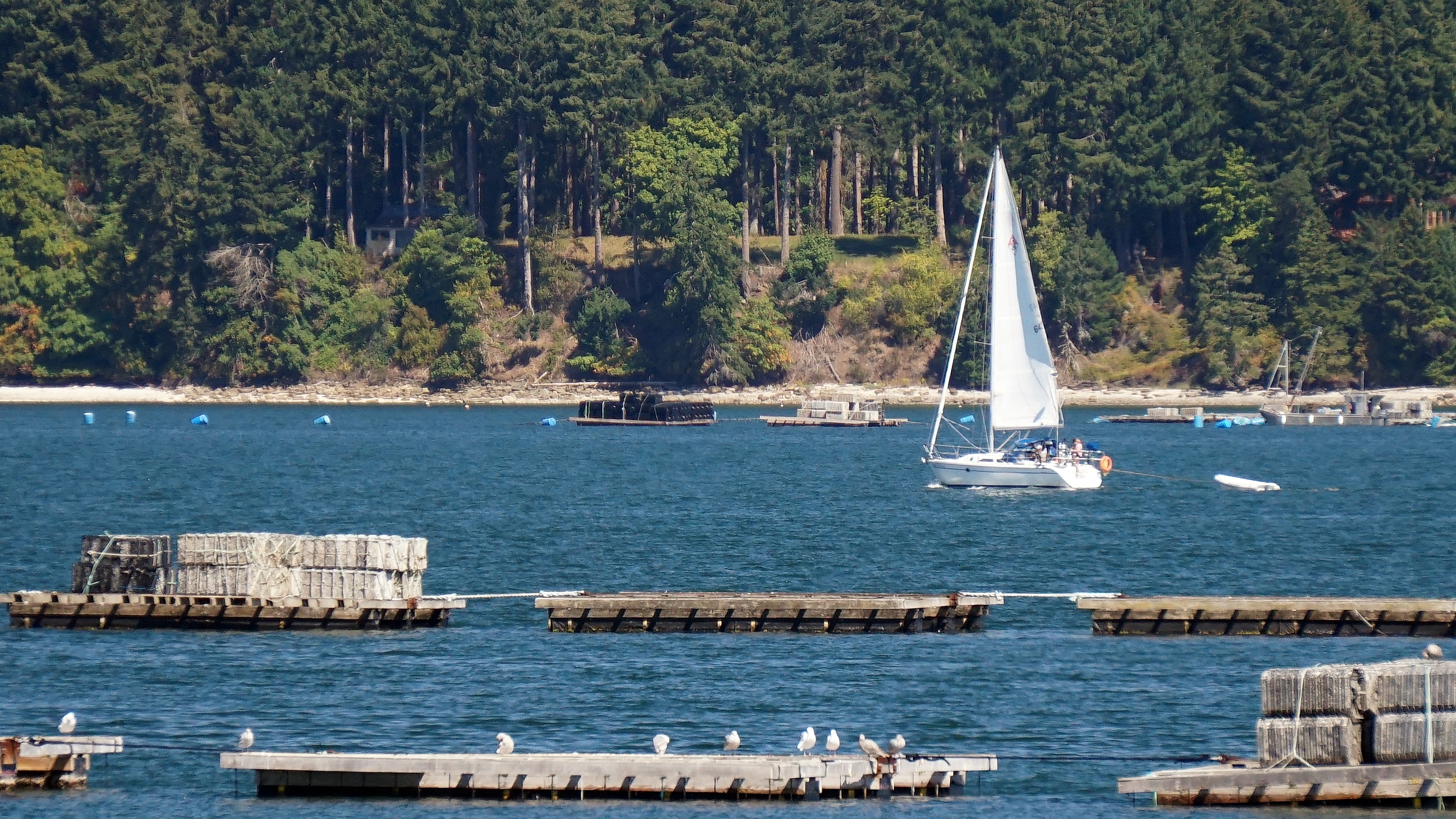
From the Air
Located at 49.58N, 124.89W on the east coast of central Vancouver Island, along BC Highway 19A about 14 km south of Courtenay. The community faces Baynes Sound, with Denman Island visible across the water to the east. The former coal wharf site and contaminated coal hills are visible along the waterfront. Heritage Row buildings line the highway. Nearest airport: CFB Comox (CYQQ) approximately 20 km north. The E&N Railway corridor passes through the community. Best viewed at 1,500-2,500 feet approaching from Baynes Sound, where the waterfront layout and the proximity to Denman and Hornby Islands are apparent.