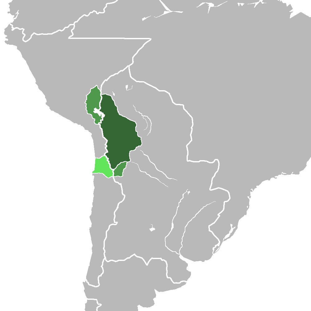
Upper Peru
For most of the colonial era, the name meant silver. Upper Peru — Alto Peru in Spanish — was the administrative territory governed by the Real Audiencia of Charcas, encompassing the governorships of Potosi, La Paz, Cochabamba, Chiquitos, Moxos, and Charcas. The name itself originated in Buenos Aires toward the end of the eighteenth century, after the Audiencia was transferred from the Viceroyalty of Peru to the newly created Viceroyalty of the Rio de la Plata in 1776. What had been a highland appendage of Lima became the strategic interior of a new colonial entity centered on the Atlantic coast. That administrative reshuffling would shape the wars, rivalries, and border disputes that followed for the next half century.
The Silver That Built an Empire
Upper Peru's importance to Spain was measured in ore. The silver mines of Potosi, discovered in 1545, had once produced so much wealth that the city briefly rivaled the population of London and Paris. By the time the territory was reassigned to the Rio de la Plata viceroyalty, Potosi's output had declined, but the region remained economically vital. Cochabamba supplied grain and agricultural goods to the mining towns, while the lowland provinces of Chiquitos and Moxos provided access to the vast eastern plains. The Audiencia of Charcas, based in the city now called Sucre, served as both judicial authority and administrative center. When Spain's grip on its American colonies began to weaken under the pressure of Napoleon's invasion of the Iberian Peninsula, Upper Peru sat at the intersection of competing revolutionary currents flowing from Buenos Aires in the south and from Bolivar's campaigns in the north.
Caught Between Revolutions
By 1821, the Spanish colonial empire in South America was fracturing. The armies of Simon Bolivar and Antonio Jose de Sucre, having already liberated Venezuela, Colombia, and Ecuador, were advancing toward Upper Peru from the north. From the south, Buenos Aires had launched three unsuccessful military campaigns into the highlands, each repulsed by royalist forces. The decisive blow came from an unexpected direction. In December 1824, the Battle of Ayacucho in Peru shattered Spanish military power on the continent. As royalist authority collapsed across Upper Peru, a scramble began among provincial governors, each calculating which new allegiance might protect them. Colonel Sebastian Ramos, the governor of Chiquitos, made the most dramatic gamble: in March 1825, he attempted to have his province annexed by Brazil, sending an envoy to Cuiaba in Mato Grosso to arrange the incorporation.
The Chiquitos Affair
The Brazilian annexation of Chiquitos was a strange episode even by the standards of South American independence politics. Emperor Pedro I of Brazil had not been informed. Only three of Mato Grosso's seven council members were present when the treaty was passed, and the expedition was led by a low-ranking retired lieutenant. When word reached Sucre and Bolivar, they treated it as a local initiative rather than Brazilian state policy, though they made clear that any attempt to retain the province would be met with military force. Bolivar went further, declaring his readiness to spread the revolution into Mato Grosso and beyond. The treaty was annulled in May 1825 after returning council members and Pedro I himself denounced it. Brazilian troops withdrew without a battle, though they looted towns during the retreat. Over the following months, tensions eased as stolen goods were returned — a resolution more pragmatic than heroic.
Birth of Bolivia
Between 1823 and 1828, Colombian troops under Marshal Sucre occupied Upper Peru as part of the Campaigns of the South. The new Republic of Bolivar, named in honor of the Liberator, was widely regarded as a satellite of Gran Colombia. But the territory it encompassed carried the weight of older identities. Argentina and Peru both claimed portions of Upper Peru on historical grounds: Buenos Aires because it had administered the region since 1776, and Lima because it had governed it for centuries before that. Neither claim prevailed. The land that had been parceled between viceroyalties, fought over by revolutionaries and royalists, and briefly coveted by Brazil emerged in 1825 as something none of its imperial administrators had intended: an independent nation. Bolivia's borders would remain contested for decades, but its existence as a separate country — carved from the highlands that once funded the Spanish Empire — was never reversed.
From the Air
Upper Peru corresponds roughly to modern Bolivia, centered on the Altiplano and eastern lowlands. The coordinates 18.37°S, 66.06°W place the reference point near the city of Oruro on the high plateau at approximately 3,700 meters (12,100 feet). From altitude, the terrain transitions dramatically from the barren Altiplano in the west to lush Amazon lowlands in the east. Major airports include La Paz/El Alto (SLLP), Cochabamba (SLCB), and Sucre (SLSU). High-altitude operations require careful density altitude calculations; weather can change rapidly across the Andes.