Usui Pass
One hundred and eighty hairpin bends. That is what awaits anyone who takes the old road over Usui Pass, the mountain crossing between Nagano and Gunma prefectures that has funneled travelers, armies, trains, and -- in more recent decades -- drift racers between the highlands and the Kanto plain. Described in the Nihon Shoki as early as the 8th century, when the legendary prince Yamato Takeru is said to have crossed it on his eastern campaigns, Usui Pass has been a chokepoint in Japanese history for over a thousand years. Empires have moved through this gap. So have shoguns, locomotives, and bullet trains. The pass endures because geography left no better option: this is where the mountains finally relent, just enough, to let traffic through.
The Shogun's Highway
Long before modern engineering arrived, Usui Pass was already a critical link in Japan's road network. The ancient Tosando highway threaded through the gap, connecting the imperial court to the eastern provinces. During the Edo period, the Tokugawa shogunate formalized the route as part of the Nakasendo, one of the five great roads connecting Edo -- modern-day Tokyo -- to Kyoto. Travelers making the 500-kilometer journey between the two capitals had no choice but to cross the pass, climbing from the Gunma side through dense forest to the summit before descending into the highland plateau of Karuizawa. Post towns on either side prospered from the traffic. Today, National Route 18 follows much of the same alignment, and a bypass and expressway have made the crossing faster and safer. But the original road still exists, its 180 hairpin turns so intimidating to motorists that it has become a favorite route for cyclists who enjoy having the pavement largely to themselves.
Iron Horses on a Steep Grade
The most remarkable chapter in Usui Pass's history belongs to the railway engineers who refused to let a 6.7 percent gradient stop them. In 1893, the Shin'etsu Main Line opened an 11.2-kilometer segment between Yokokawa Station on the Gunma side and Karuizawa Station on the Nagano side, using a rack-and-pinion system to haul trains up and over the pass. For seventy years, steam locomotives gripped toothed rails and ground their way uphill, a feat of Victorian-era engineering transplanted to the Japanese highlands. In 1963, the rack system was retired and replaced with JNR Class EF63 banking engines -- powerful electric locomotives attached to the rear of every train, pushing uphill and braking on the descent. The gradient of 1 in 15 remained the steepest on any mainline railway in Japan. Then, in 1997, the Nagano Shinkansen opened a long tunnel that bypassed the pass entirely, and the old line was closed forever. A railway museum now stands at the site of the locomotive shed in Yokokawa, preserving the memory of trains that once fought gravity for a living.
Drifting into Legend
The same hairpin turns that make Usui Pass treacherous for ordinary drivers made it irresistible to Keiichi Tsuchiya, the legendary drift racer known as the Drift King. Tsuchiya honed his skills on these mountain roads, learning to throw a car sideways through blind corners with drops falling away into forest below. His exploits helped inspire the manga and anime series Initial D, which features Usui Pass as the home course of the racing team Impact Blue. In the series, protagonist Takumi Fujiwara races a SilEighty driven by Mako Sato through these very bends -- fictional characters on a very real road. The series brought a new generation of visitors to the pass, pilgrims of a different kind from the Edo-period travelers who once trudged through on foot. Whether by sandal, locomotive, or drifting sports car, Usui Pass has always demanded a certain recklessness from those who cross it.
The Gap That Shaped a Nation
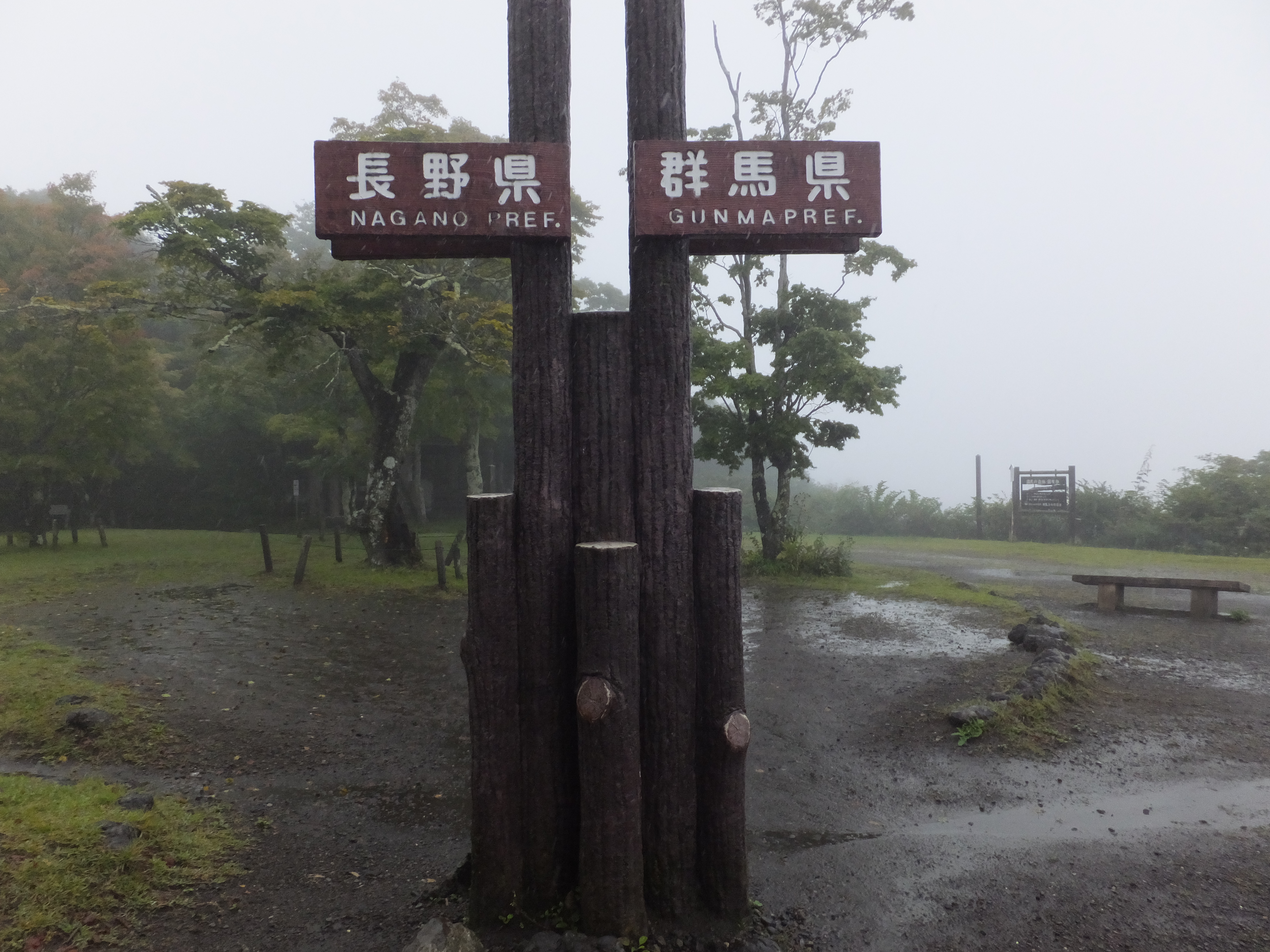
Stand at the summit of Usui Pass and you stand on a boundary. To the east, the land drops away toward the Kanto plain, the vast flatland that holds Tokyo and thirty million people. To the west, the highlands of Nagano rise toward the Japanese Alps. For over a millennium, this has been the hinge point -- the place where the eastern frontier began and the heartland ended. Yamato Takeru crossed here in legend. Tokugawa samurai crossed here in history. Steam engines and electric locomotives crossed here in the industrial age. And when the Shinkansen finally bored a tunnel beneath the pass in 1997, it was not a defeat but a tribute: the pass had been so important for so long that Japan's most advanced technology was deployed specifically to get around it. Above the tunnel, the old road still winds through the mountains, its hairpin bends silent now except for the occasional cyclist and the wind moving through the trees.
From the Air
Located at 36.34N, 138.65E on the border between Nagano and Gunma prefectures, at approximately 956 meters (3,136 feet) elevation. The pass is identifiable from the air by the dramatic switchbacks of the old road visible on the mountainside, and the linear corridor of the expressway and Shinkansen tunnel running east-west through the valley below. The resort town of Karuizawa lies immediately to the west, with Mount Asama's volcanic cone prominent to the northwest. Nearest airports: Matsumoto Airport (RJAF) approximately 85nm west, Tokyo Haneda (RJTT) approximately 70nm southeast. Expect mountain weather effects including turbulence, wind shear near ridgelines, and reduced visibility in cloud. The terrain rises steeply on both sides of the pass corridor.