Utsunoya Pass
Somewhere in the forested ridgeline between Shizuoka and Fujieda, a narrow path barely a kilometer long carries more than a thousand years of Japanese history on its back. The Utsunoya Pass is the only surviving portion of the original Heian-period Tokaido highway -- the great road that once connected eastern Japan to the imperial capital at Kyoto. Armies marched through it, poets wrote about it, and then, for four hundred years, everyone forgot it existed. The pass sat abandoned in the hills while newer roads, tunnels, and expressways threaded through the mountains around it, until hikers stumbled upon the ancient pathway in 1965 and realized what had been hiding in plain sight all along.
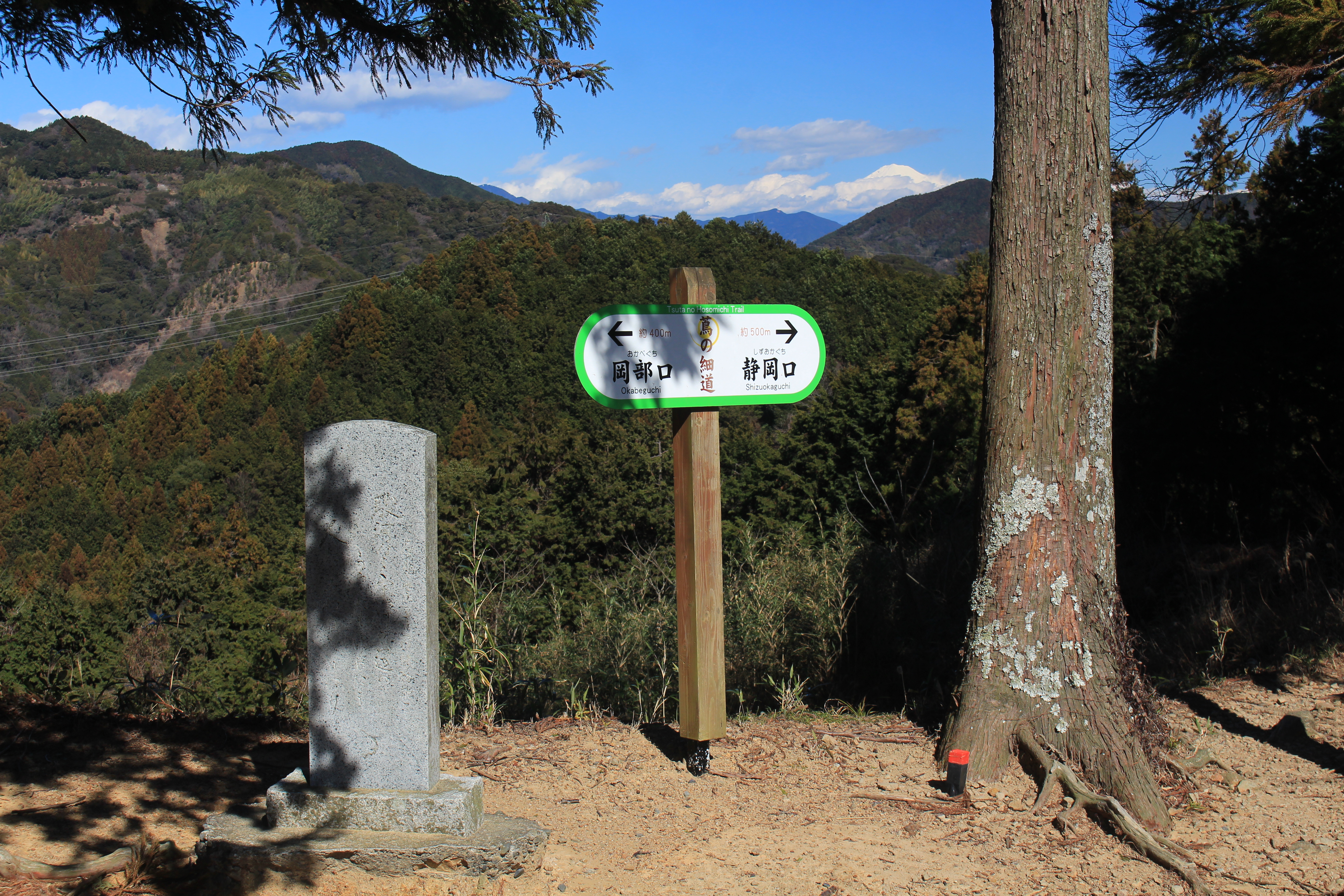
The Narrow Road of Ivy
The Tokaido originally hugged the coast of Suruga Bay during the Nara period, but the shoreline was too rugged to sustain reliable travel. During the Heian period, the route shifted inland, climbing over a saddle in a ridge extending from the Akaishi Mountains to the bay at an elevation of about 170 meters. This mountain crossing became the Utsunoya Pass, and Heian-era poets gave it a name that stuck: Tsuta no hosomichi -- the Narrow Road of Ivy. It appeared again and again in waka poetry, writers drawing on the claustrophobic atmosphere of the trail -- thick vegetation pressing in from both sides, the sound of Japanese bush warblers threading through the canopy overhead. The pass became shorthand in classical Japanese literature for loneliness and the deep interior of wild country, a place where civilization thinned and nature closed in around the traveler.
Warlords on the Trail
Poetry was not the only traffic through the pass. In 1560, Imagawa Yoshimoto led his armies along this route on his march westward -- a campaign that ended in disaster at the Battle of Okehazama, where the young Oda Nobunaga ambushed and killed him. Thirty years later, during the 1590 Siege of Odawara, Toyotomi Hideyoshi faced the same bottleneck and decided he had had enough of it. He ordered the Tokaido rerouted to a new course that bypassed the pass entirely, giving his armies a wider road that could move troops and supplies without the chokepoint of the mountain crossing. The Edo-period Tokaido followed Hideyoshi's new alignment, and the original Heian pathway was abandoned. Brush and forest reclaimed the trail. For the next four centuries, the most important surviving stretch of Japan's most famous road lay forgotten beneath leaf litter and ivy.
Tunnels Through Time
While the ancient footpath slept above, engineers attacked the mountain from below. During the Meiji period, a modern brick tunnel was dug beneath the Utsunoya ridge. Completed in 1876, it became the first tunnel in Japan to charge a toll for passage -- a novelty that drew curious travelers willing to pay for the experience of walking through engineered stone. The tunnel served traffic until a fire forced its closure in 1896. It reopened from 1904 to 1930, when a larger automobile tunnel replaced it. A second automobile tunnel followed in 1959, and the Heisei Utsunoya Tunnel was completed in 1990 to handle the ever-growing volume of traffic on Japan National Route 1. The original Meiji-era tunnel, with its brick-lined walls still intact, was designated a National Registered Tangible Cultural Property in 1997 -- a monument to the era when Japan first began boring through its mountains instead of climbing over them.
Rediscovered and Protected
The ancient footpath above the tunnels waited until 1965 to be rediscovered. The one-kilometer stretch of original Heian-period road surface that survived the centuries was proclaimed a National Historic Site on February 22, 2010, finally receiving formal protection after more than a millennium of existence. Today, hikers can walk the same path that Heian poets described and Sengoku-era armies trampled -- a rare physical connection to medieval Japan that most travelers on the expressways and tunnels below never suspect is there. The artist Hiroshige depicted the pass in his famous series of Tokaido woodblock prints, showing travelers dwarfed by towering cliffs and dense forest. Standing on the trail today, with the modern world audible but invisible through the trees, the scene has not changed as much as you might expect. The ivy still grows thick, the warblers still call, and the narrow road still winds through the same saddle in the ridge that travelers have been crossing for over a thousand years.
From the Air
Located at 34.933N, 138.303E on the ridge between Shizuoka and Fujieda, Shizuoka Prefecture, Japan. The pass sits at approximately 170 meters elevation on a ridge extending from the Akaishi Mountains to Suruga Bay. From the air, look for the forested ridge between the urban areas of Shizuoka (east) and Fujieda (west), with the modern tunnels of National Route 1 and the Okabe Bypass visible cutting through the base of the ridge. The ancient footpath is not visible from altitude but the terrain gap is evident. Nearest airport: Mt. Fuji Shizuoka Airport (RJNS) approximately 12 nm south-southwest. Terrain awareness is essential in this area -- ridgelines extend from the Akaishi Mountains with limited clearance. Expect mountain weather effects including updrafts and reduced visibility in fog or low clouds.