Van Starkenborgh Canal
In 1934, with the Depression closing the country's factories, the Dutch government had a problem and a plan. The problem was tens of thousands of unemployed men and a national mood unspooling under the weight of them. The plan was werkverschaffing - work creation - a programme that put shovels in hands and turned idle labour into infrastructure. By 1935, 1,300 of those unemployed men were digging earth out of the polders west of Groningen by hand, hauling it away in carts, hour after hour, day after day. They were making a canal. It is still there. Most of inland north Netherlands now floats on it.
A Political Problem First
Before it was a canal, the Van Starkenborgh was an argument. The improvement of the waterway between Lemmer and Groningen was, in the words of its own historians, above all a political challenge. Planning began in 1900. The old Hoendiep, the canal Groningen had relied on since the mid-seventeenth century, could only carry barges of 120 to 140 tonnes - a fraction of what modern shipping required. A 1917 report proposed widening it for 600- to 700-tonne vessels. The province started preparing two new locks. Then, in the early 1920s, the national government raised the spec: any new canal would have to take 1,000-tonne barges from the start. Suddenly the cost of demolishing buildings and a railway in Groningen and Hoogkerk to widen the old route was prohibitive. The province cancelled the Westerhaven Lock project and looked for another way.
Cutting Around the City
The answer was an omsnijdingskanaal - literally a 'cut-around canal' - that would loop north of Groningen and rejoin the Hoendiep west of Hoogkerk, evading the chokepoints entirely. By early 1926, the plan had shifted again. The new canal would run straight from the Eems Canal east of Groningen to Noordhornerga in the west, bypassing most of the old Hoendiep. The chamber of commerce had a better idea about exactly where it should join the Eems Canal, and in November 1927 the national government agreed. The dimensions were fixed for 1,000-tonne barges - 80 metres long, 9.2 metres wide, 2.4 metres deep - but the design had to anticipate eventual upgrade to 2,000-tonne vessels. Who paid for what took even longer to settle. The national government eventually took two-thirds; Groningen province and city worked out the rest among themselves.
Dug by Hand
Construction was under way by 1930. By 1934 the canal had become a Depression project: unemployed men with shovels and barrows, opening earth on terms that paid them less than working men earned but more than nothing. The section between Noordhornerga and the bridge near the Boterdiep opened to shipping on 15 October 1936. The stretch between the Boterdiep and the Eems Canal opened on 1 September 1937. On 5 November 1938 Queen Wilhelmina christened the whole thing the Van Starkenborgh Canal, unveiling a commemorative plaque while A.T. van Starkenborgh Stachouwer - the Governor-General of the Dutch East Indies, after whom the canal was named - delivered his speech by radio from Java, broadcast through the ceremony in Groningen.
Working the Canal Bigger
In November 1937, in its first full month, the Oostersluis at the eastern end passed 971 barges carrying 66,424 tonnes - an average of just 70 tonnes per vessel. The barges were still small. But by 1948 the average was 105 tonnes. The Frisian portion of the Lemmer-Delfzijl Waterway opened in 1951, and the numbers exploded: by 1960, 6.2 million tonnes were passing the Oostersluis, with vessels averaging 255 tonnes. By 1962, almost nine million tonnes passed Gaarkeuken Lock at the Frisian border. Each decade brought a new upgrade. In 1963 the canal began conversion for 1,350-tonne barges, CEMT class IV. The old Gaarkeuken Lock, with its 10-metre gates, became the bottleneck. A new lock with 16-metre gates opened in June 1980. After 1980 the eastern Oostersluis took its turn as the choke point. A replacement was finished in 1996. Then containerisation set the rules again: in 1996 Rijkswaterstaat and the provinces agreed to upgrade for CEMT class Va vessels - 110 metres long, 11.4 wide, carrying four stacked layers of containers.
Bridges, Lifts, and a Crashed Span
The canal's original designers anticipated motorised barges and so chose two fixed railway bridges, seven metres high - tall enough for the powered vessels of the future to pass underneath without stopping rail traffic. For road traffic, that height would have been a nightmare, so the design used seven vertical-lift bridges and three small pontoon swing bridges instead. A single bascule bridge served Eibersburen near the Frisian border. Today the bridges have grown to accommodate the four-layer container clearance of nearly ten metres. The Zuidhorn railway bridge was upgraded in 2017. The Groningen-Delfzijl rail bridge had already been replaced in the early 2000s when the railways doubled the track. The Gerrit Krol Bridge on Korreweg was destroyed by a ship collision in 2021; its replacement is planned for 2029. The canal has been continuously rebuilt around the boats that pass through it for almost ninety years.
A Working Waterway, Quietly
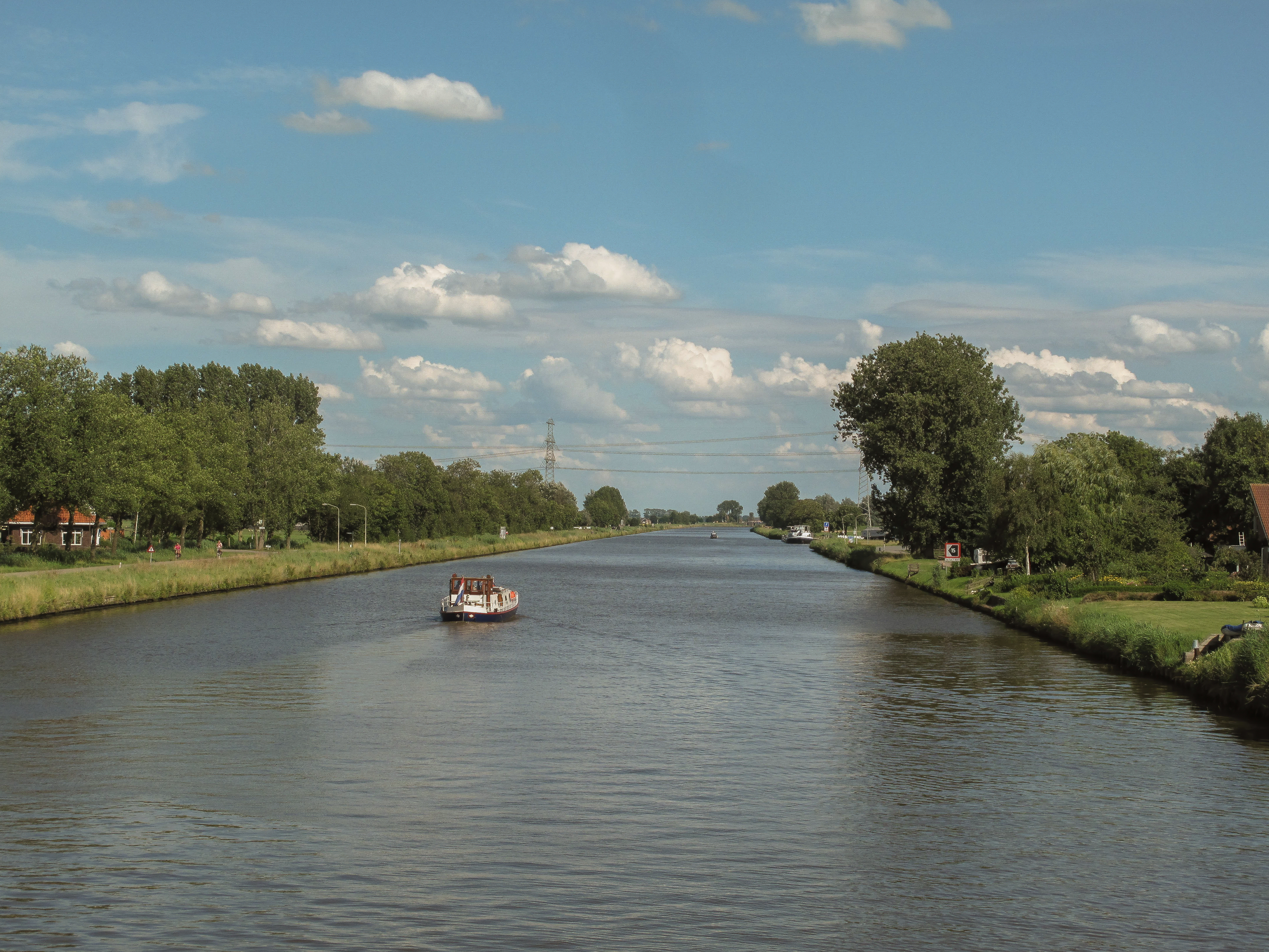
Since 1 January 2014 the Van Starkenborgh Canal has been the responsibility of Rijkswaterstaat - the national waterworks agency that runs Dutch infrastructure with the kind of unflashy competence that makes most of the country function. Coasters, the small seagoing vessels that can pick up cargo in the Baltic and bring it inland, still use the canal via the Eems link. The canal carries grain, timber, sand, gravel, and the container traffic for which it is being progressively rebuilt. The men who dug it with shovels in 1935 worked for relief wages on what was then a regional project. What they made has, over the course of nine decades, become a small but essential piece of how northern Europe moves things by water.
From the Air
The Van Starkenborgh Canal runs east-west across Groningen province at roughly 53.26 degrees north, 6.43 degrees east at Aduard - one of its more recognisable points. From altitude, the canal reads as a long, almost ruler-straight reflective line connecting the Prinses Margriet Canal in Friesland to the Eems Canal east of the city of Groningen, looping just north of the city itself. The Gaarkeuken Lock sits near the Frisian border at the western end; the Oostersluis is at the eastern end where it meets the Eems Canal. Nearest field is Groningen Airport Eelde (EHGG), 15 km south of the canal.