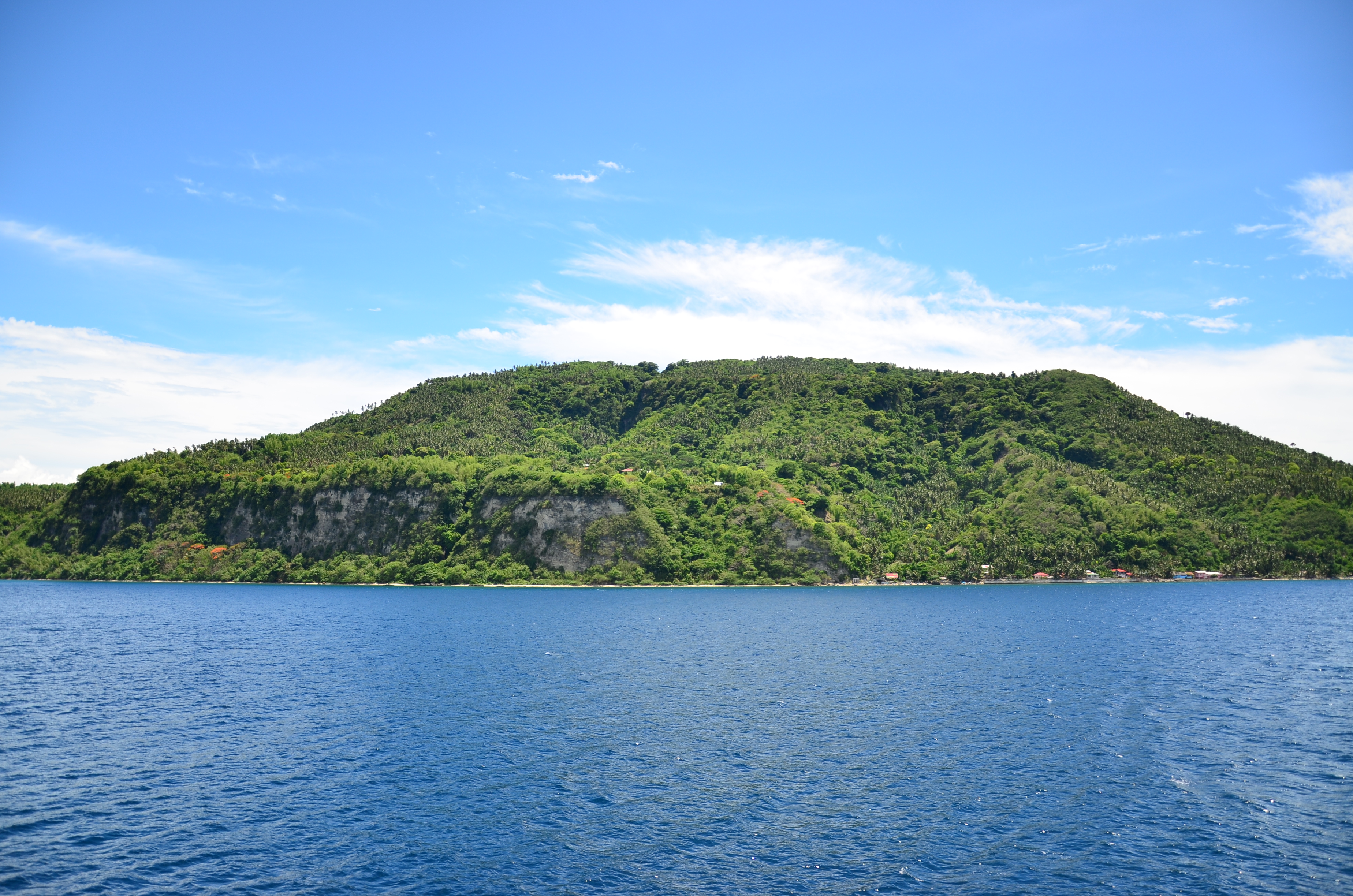
Verde Island Passage
Marine biologists have a phrase for it: the center of the center. The Philippines sits within the Coral Triangle, the most biodiverse marine region on the planet. And within the Philippines, one strait stands above all others. The Verde Island Passage, separating Luzon from Mindoro, was declared in 2006 to harbor the densest concentration of marine shorefish species anywhere on Earth. More than 300 coral species crowd its reefs. Hawksbill and green sea turtles glide through its waters alongside humphead wrasses and giant groupers. The passage spans 1.14 million hectares, and through it run some of the busiest shipping lanes in the Philippine archipelago -- a collision of extraordinary life and relentless human traffic.
Where the Currents Converge
Geography explains the richness. The Verde Island Passage connects the South China Sea to the west with Tayabas Bay and the Sibuyan Sea to the east, creating a throughflow of nutrient-laden water that feeds an extraordinary web of marine life. Five provinces -- Batangas, Marinduque, Romblon, Oriental Mindoro, and Occidental Mindoro -- border the strait, their coastlines scalloped with bays and headlands that shelter distinct reef communities. Verde Island itself sits near the center of the passage, a small rocky landmark surrounded by sheer underwater walls where corals cascade into the deep. The famous Verde Island drop-off, a near-vertical coral wall, has become one of the most celebrated dive sites in Southeast Asia. Ferries cross the passage daily, connecting the Port of Manila to the Visayas and Mindanao -- a commercial corridor that has moved people and goods through these waters for centuries.
The Fight Beneath the Surface
Biodiversity this rich attracts both protectors and exploiters. Overfishing has depleted several species: the humphead wrasse, once common, now frequently registers zero catches in fishing surveys. A short-lived park fee scheme at the Verde Island drop-off dive site was abandoned when officials discovered the revenue was being used to purchase better fishing gear -- effectively funding the accelerated extraction of the very fish the fee was meant to protect. The irony was bitter but instructive. Conservation here requires more than good intentions; it requires rethinking the economics of coastal communities that have depended on fishing for generations. Commercial shipping compounds the problem. Vessels discharge pollutants into the strait daily, and during storms, ships anchor directly on coral formations. Agricultural runoff from the Batangas River carries pesticides and chemical fertilizers into Batangas Bay, while untreated urban waste and sewage flow from Puerto Galera and other coastal towns into the surrounding waters.
A Network of Hope
The response has been ambitious, if incomplete. In 2006, President Gloria Macapagal-Arroyo issued Executive Order No. 578, designating the Verde Island Passage Marine Corridor as a critical biodiversity area requiring national protection. By 2017, at least 36 community-managed marine protected areas operated within the passage -- 24 in Batangas and 12 in Oriental Mindoro -- ranging from small no-take fish sanctuaries to larger marine parks. That same year, the governors of all five surrounding provinces signed a landmark memorandum of agreement with national agencies including the Department of Environment and Natural Resources, the Bureau of Fisheries, the Philippine Coast Guard, and the Philippine National Police, establishing the Verde Island Passage Marine Protected Area Network and a coordinated law enforcement operation enabling joint patrols across provincial boundaries. In 2023, the global nonprofit Mission Blue designated the passage a Hope Spot, bringing international attention and resources to support local conservation efforts.
The Reef and the Refinery
The passage's greatest threat may be the one growing on its doorstep. Batangas Bay, adjacent to some of the richest reefs in the strait, is rapidly becoming a major petrochemical and refining center. No infrastructure currently exists to contain a large oil or chemical spill. The juxtaposition is stark: one of the most biodiverse marine environments on Earth sits next to an expanding industrial zone with no emergency containment capacity. Coral health remains generally good for now, but the combined pressures of global warming, pollution, sedimentation from upland deforestation, and the ever-present risk of a catastrophic spill create a precarious equilibrium. Upstream, organizations like Wovoka Philippines are replanting native forests in Mindoro's denuded watersheds to reduce sediment runoff, tackling the problem at its source. The wreckage of a Spanish galleon that sank in 1620 lies in the southern passage, its cargo long salvaged, its keel timbers rotting at six meters depth off Sabang Beach -- a quiet reminder that these waters have swallowed human ambitions before.
From the Air
Located at 13.57N, 120.97E between southern Luzon and northern Mindoro, Philippines. The strait is clearly visible from cruising altitude as the water gap separating the two islands. Verde Island is the small rocky island at the center of the passage. The coastlines of Batangas (north) and Oriental Mindoro (south) frame the strait. Nearest airports include Ninoy Aquino International Airport (RPLL) approximately 100 km north and the airstrip at Puerto Galera. Best viewed at 5,000-15,000 ft to appreciate the passage's geography and the surrounding reef systems in clear conditions.