Verneukpan
The name warns you. Verneukpan -- Afrikaans for "the pan that tricks" -- is a 57-kilometer stretch of dry salt flat in South Africa's Northern Cape that looks, from a distance, like the perfect surface for speed. Flat as a table. White as bone. Stretching beyond sight in every direction. Sir Malcolm Campbell thought so too, in 1929, when he shipped his Napier-Campbell Blue Bird across the ocean to chase the land speed record. The pan had other plans.
The Summer of '29
Campbell's troubles began before he reached the pan. He lost his briefcase with critical documents. His airplane crashed into a tree near Calvinia, and he walked away from the wreckage more by luck than design. When he finally arrived at Verneukpan, the work of preparing the track fell to a crew led by Willem Louw, sweeping a 16-mile course across a surface where puff adders and scorpions nested in the gaps between razor-sharp stones. Summer temperatures climbed to 42 degrees Celsius in the shade -- when shade could be found. The track ran east to west, pointed directly into the rising sun. Dust devils twisted across the surface without warning. Mirages conjured phantom trees and ghostly figures on stilts, apparitions that dissolved as the Blue Bird screamed toward them.
Tricked by the Surface
The pan's surface appeared smooth from a distance but concealed a minefield of sharp stones. When workers cleared the stones, they left holes. When workers filled the holes, the surrounding crust cracked. The day of the record attempt -- locals called it the "Flash in the Pan" -- was postponed again and again. By the time Campbell was ready, his target had moved: the official record had been pushed from 200 mph to 231.36 mph. Campbell wanted 300 mph. His mean speed over the measured mile came in at 218.45 mph, fast enough to shred his tires on the coarse surface but not fast enough to claim the record. A tortoise wandered onto the track during preparations and was christened Blue Bird II.
One Set of Tires Left
With only a single set of tires remaining, Campbell pivoted. On January 25, 1929, at five in the morning, under moonlight and the first pale wash of dawn, the Blue Bird launched down the white line for the last time. She set two records that day: 211 mph over five kilometers and 212 mph over five miles. They were not the records Campbell had crossed the world to break, but they were records nonetheless. He promised to return in a car he would call the Springbok. He never did. Decades later, in 2008, Andy Green -- the man who broke the sound barrier on land -- visited Verneukpan to evaluate it for the Bloodhound SSC project. The surface quality was excellent, but the stones remained. Removing them from the vast area needed would have required more manual labor than any speed team could muster.
Wind, Kites, and Open Space
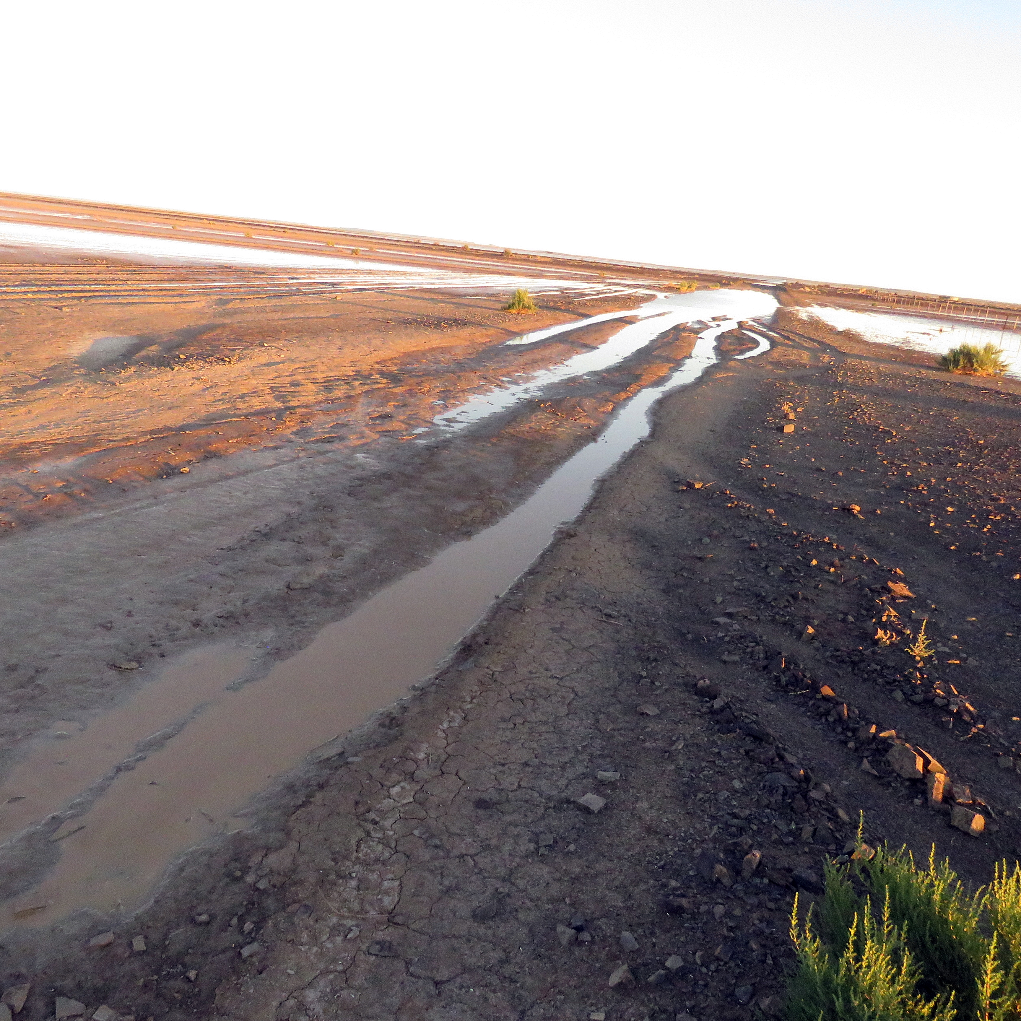
Today Verneukpan draws a different kind of speed seeker. The pan is one of South Africa's premier kiting destinations, its flat expanse and reliable winds perfect for parasailing and kite-surfing with wind buggies -- bicycle-like vehicles fitted with sails that reach speeds of 70 kilometers per hour. Birdwatchers come during the rainy season, when water collects in the pan's shallow depressions and flocks of waterbirds descend on the temporary lakes. South African pop singer Karlien van Jaarsveld filmed the music video for her song "Hande" on the pan's stark fields, using the emptiness itself as a backdrop.
Campbell's Koppie
At the edge of the pan, a low hill called Campbell's Koppie still offers views across the full length of the salt flat and the faint trace of the 1929 track. The nearby farm Kareeboomdam provides access to the pan and allows visitors to camp on the surface itself, sleeping under skies so dark and wide that the Milky Way casts shadows. In 2020, the farm hosted the Brightrock Battle of the Sports challenge, bringing South African athletes like Makaya Ntini, Butch James, and Schalk Brits to a landscape that remains, nearly a century after Campbell's attempt, exactly as deceptive as its name promises. The surface looks perfect. It always does.
From the Air
Located at 30.01S, 21.14E in the Northern Cape of South Africa. The pan is approximately 57 km long and 11 km wide, appearing as a bright white strip against the surrounding Karoo terrain. Easily visible from cruising altitude. Used for aerotowing and gliding operations -- watch for glider traffic. Nearest major airport is Upington (FAUP), approximately 200 km north. The pan has no formal airstrip but its flat surface has been used for light aircraft landings.