Virginia, Minnesota
The Ojibwe called it Qeechaquepagem -- lake of the north birds -- and Silver Lake still anchors the east side of town. But the people who arrived in the 1890s were not listening for loons. They came for iron. Virginia, Minnesota, sits on the Mesabi Iron Range, the most productive iron ore deposit in American history, and for more than a century its identity has been inseparable from what lies beneath the red-stained earth. Planned in 1892 and incorporated in 1895, the town was named by lumber workers homesick for the state of Virginia. What they built instead was something wholly Minnesotan: a hardscrabble boomtown of Finnish saunas, Slovenian boardinghouses, and Croatian bakeries, all perched above billions of tons of ore that would help forge the steel beams of modern America.
The Men Who Dug the Range
By the late 1890s, the mines around Virginia were consistently breaking output records. The names behind the operations read like a Gilded Age roster: Andrew Carnegie, John D. Rockefeller, Jay Cooke, James J. Hill, and Leonidas Merritt, one of the Seven Iron Brothers who first identified the Mesabi deposits. Diamond drills bored into the earth while mule teams hauled ore to the surface. Millions of tons shipped each year from the Twin Ports of Duluth and Superior, and from the harbor at Two Harbors. Mining camps sprawled around the town, drawing thousands of workers from across Europe and establishing Virginia as the commercial hub of the central Range. The city anchors what locals call the Quad Cities, alongside Eveleth, Gilbert, and Mountain Iron -- a cluster of communities whose existence owes everything to geology.
Twice Burned, Built to Last
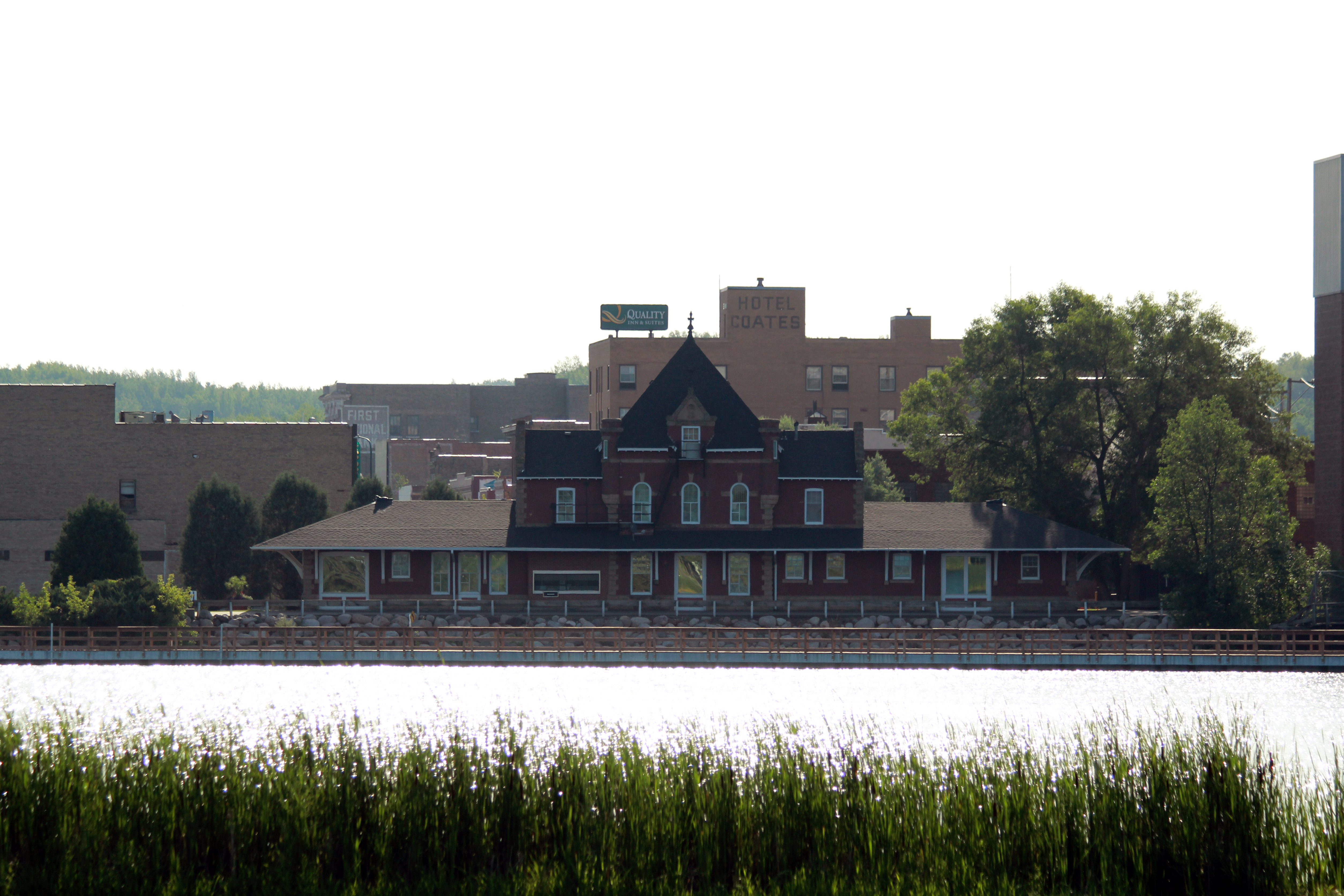
Fire swept through Virginia's downtown in 1893, barely a year after the town was platted. The wooden storefronts went up fast and came down faster. Then in 1900, a second catastrophic fire leveled the entire commercial district. The response was decisive: city ordinances mandated brick construction along Chestnut Street. What rose from the ashes was a downtown built to endure, its sturdy commercial blocks reflecting the ambitions of immigrant families from Finland, Sweden, Slovenia, Croatia, and beyond. Today, 78 of those buildings form the Virginia Commercial Historic District, listed on the National Register of Historic Places in 1997. The district tells a story of reinvention -- a town that refused to stay down and rebuilt itself in material that would not burn.
The Bridge Over the Pit
Minnesota's tallest bridge does not span a river. The Thomas Rukavina Memorial Bridge, completed in 2017 and renamed in 2021 for a beloved Iron Range state legislator, carries U.S. Highway 53 over the Rouchleau Mine Pit -- a yawning excavation that testifies to the sheer volume of ore extracted from this landscape. From Bridgeview Park at the east end of Chestnut Street, visitors look out over the void and trace the interpretive signage that explains how the pit came to be. Nearby, Olcott Park offers a gentler scene: 40 acres of green space, a WPA-era stone fountain built in 1937 and lovingly restored in 2019, a bandshell for summer concerts, and a public greenhouse that keeps tropical plants alive through winters that regularly plunge below zero. The 135-mile Mesabi Trail threads through both parks, connecting Virginia to communities across the Range by paved path.
Hometown Heroes on Ice
Virginia punches well above its weight in professional hockey. John Harrington, a hometown kid, was on the ice for the 1980 Miracle on Ice in Lake Placid. Matt Cullen went on to win three Stanley Cups. Matt Niskanen hoisted one of his own. Steve Carlson, Mark Cullen, John Gruden, and Pete LoPresti all skated in the NHL. The tradition continues at the Iron Trail Motors Event Center, a 120,000-square-foot facility that opened in 2021 with two indoor arenas and serves as home ice for Rock Ridge High School. Even beyond hockey, the town has produced actor Chris Pratt, winemaker Robert Mondavi, and drag-racing legend Warren Johnson, a member of the Motorsports Hall of Fame. For a city of 8,421 people, the list of names that have gone out into the world from here is remarkably long.
Range Life, Still Beating
Virginia has diversified beyond the mines. Essentia Health's hospital is one of the city's largest employers, serving the central Iron Range. Retail anchors the highway corridor alongside the independent shops of Chestnut Street. Each June, the Land of the Loon festival fills downtown with parades, artisan markets, and cultural exhibitions celebrating the immigrant heritage that built the Range. The B'nai Abraham Synagogue, a restored early-twentieth-century house of worship, now serves as a cultural interpretive site -- a reminder that the Range's diversity extended to communities often overlooked. At the Lyric Center for the Arts, housed in the historic Lyric Opera House, performing and visual arts find a stage. The Laurentian Divide passes just north of town, the invisible line where waters part toward either Hudson Bay or the Great Lakes. Virginia sits right on the edge, as it always has -- balanced between the wild north and the industrial corridor, between what the earth gives and what people make of it.
From the Air
Located at 47.517°N, 92.541°W in northeastern Minnesota's Mesabi Iron Range at approximately 1,400 feet MSL. From altitude, look for the distinctive Rouchleau Mine Pit and the Thomas Rukavina Memorial Bridge (Minnesota's tallest) carrying US-53 over the excavation. Silver Lake is visible east of downtown. The city sits within the Quad Cities cluster alongside Eveleth, Gilbert, and Mountain Iron. Range Regional Airport (KHIB) in nearby Hibbing serves general aviation and commercial flights, approximately 10 miles west. Duluth International Airport (KDLH) is about 60 miles south. The Mesabi Trail is visible as a paved corridor threading through the urban area. Best viewed at 4,000-8,000 feet to appreciate the scale of open-pit mining operations surrounding the city.