Volta River: The Twist That Named a Nation
The Portuguese gold traders who named this river never intended a compliment. Volta means 'twist' or 'turn' in Portuguese -- it was the point where they turned back, the limit of how far they were willing to go. For centuries the name stuck as a label for the edge of the known world. But the river itself kept flowing, indifferent to European ambitions, draining 400,000 square kilometers of West Africa from the highlands of Burkina Faso to the Gulf of Guinea. Today the Volta is Ghana's central artery, its main river system, and the foundation of its electrical grid. What the Portuguese named for an ending became, for Ghana, a source of national power in every sense of the word.
Three Colors of Water
The Volta is not one river but three. The Black Volta rises near Burkina Faso's highest peak and traces international borders for hundreds of kilometers before entering Ghana. The White Volta flows south through the heart of Burkina Faso and Ghana's northern savanna. The Red Volta, the smallest of the three, crosses from Burkina Faso through Ghana's Upper East Region. Each carries the sediment and character of a different landscape -- the Black Volta runs through rocky gorges and broad floodplains, the White Volta meanders through flat grasslands, and the Red Volta cuts a modest path through drier terrain. They converge in northern Ghana and flow south together along the Akwapim-Togoland highlands, picking up the Oti River from Togo before reaching the coast. At Ada Foah, where the Volta finally meets the Atlantic at the Gulf of Guinea, the river has traveled a distance that encompasses five countries and centuries of human history.
Nkrumah's Gamble
The idea of damming the Volta was not new when Kwame Nkrumah made it the centerpiece of his vision for independent Ghana. A British geologist named Albert Ernest Kitson first proposed harnessing the river's energy in 1915, imagining that hydropower could smelt locally sourced bauxite into aluminum. But it took the ambitions of a newly independent nation to make it happen. Construction of the Akosombo Dam began in 1961, undertaken by an Italian consortium that had just finished the Kariba Dam in Zambia. The World Bank, the United States, and the United Kingdom provided funding. By 1965, the dam was complete, and the Volta began filling the valley behind it. The reservoir that formed -- Lake Volta -- covers 8,502 square kilometers, making it the largest man-made lake by surface area on Earth. Approximately 80,000 people, one percent of Ghana's population at the time, were relocated to make room for the rising water.
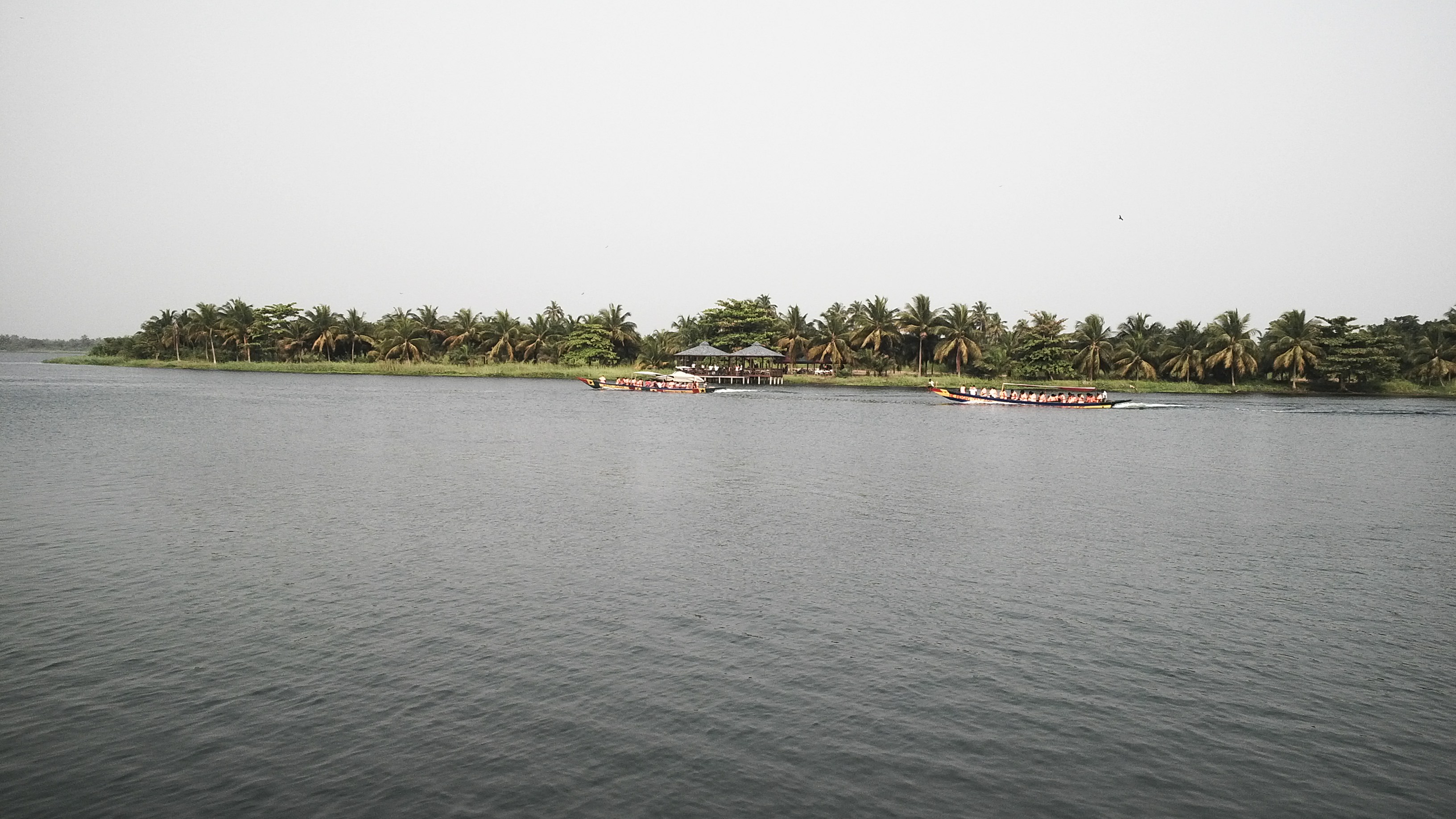
The Lake That Swallowed a Landscape
Lake Volta stretches 400 kilometers from the Akosombo Dam in southeastern Ghana to the town of Yapei in the north. From the air, it looks less like a lake than a flooded river system -- long fingers of water reaching into valleys and around hills, submerged trees still poking above the surface decades later. The dam's power plant generates electricity for the Volta River Authority, and the reservoir provides water transport routes, irrigation, and fish farming. The Adome Bridge crosses the Volta just below the dam, connecting communities on either side of the river. But the dam also brought consequences that Nkrumah's planners did not fully anticipate: increased waterborne disease, displacement of fishing communities, and the drowning of farmland and forest that had sustained people for generations. The Volta gives power, but it extracted a price.
The River Before the Dam
Before the Portuguese, before the dam, the Volta already had names and guardians. The Akwamu people, who built a kingdom spanning both banks of the river across present-day Ghana, Togo, and Benin, called it Firaw. They dedicated a deity to the river -- Mfodwo -- whose worship acknowledged what everyone along its banks understood: that the Volta was not merely a geographic feature but a living force that governed floods, fish, and fortune. Burkina Faso was once called Upper Volta, named by French colonial administrators after this same river system. The country shed that name in 1984 when Thomas Sankara rechristened it Burkina Faso, 'the land of upright people.' But the river persists under its Portuguese name, carrying the irony quietly: the place where outsiders turned back became the place an entire civilization looked to for sustenance, for transport, for the electricity that lights Accra at night.
From the Air
The Volta River system drains most of Ghana and is visible from any altitude. The Akosombo Dam is at approximately 6.30N, 0.05E, and Lake Volta extends 400 km northward -- it is one of the most prominent man-made features visible from space in West Africa. The river mouth at Ada Foah is at 5.78N, 0.63E where the Volta enters the Gulf of Guinea. Kotoka International Airport (DGAA) in Accra is approximately 80 km southwest of the dam. Tamale Airport (DGLE) in the north is near the lake's upper reaches. The Adome Bridge is visible just below the dam. During dry season, the contrast between the lake and surrounding terrain is stark from altitude.