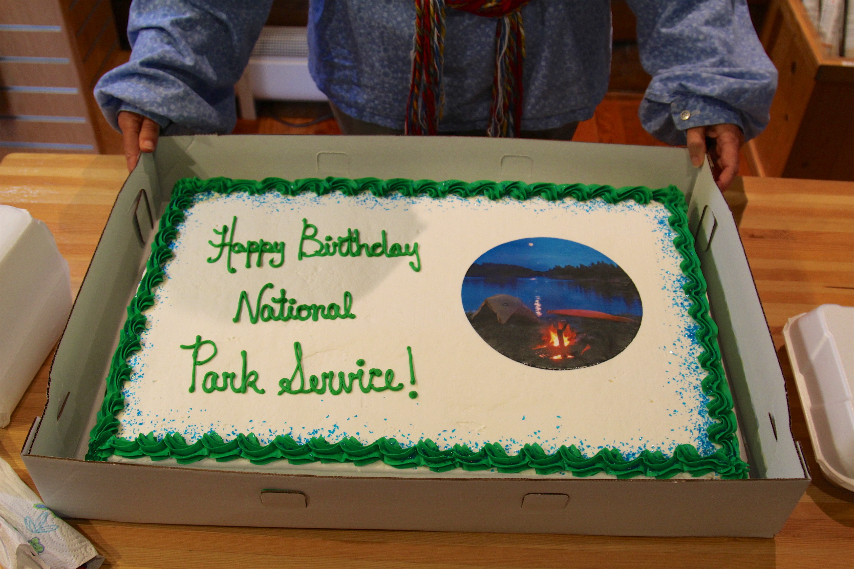
Voyageurs National Park
You cannot drive to the heart of Voyageurs National Park. There is no scenic loop road, no parking lot at the trailhead, no shuttle bus threading between overlooks. The 218,000-acre park straddles the Minnesota-Ontario border as a maze of waterways -- four major lakes, more than 500 islands, and a peninsula accessible only by boat. This is by design, not oversight. The park was named for the voyageurs, the French-Canadian fur traders who paddled birchbark canoes along these routes in the 18th and 19th centuries, hauling beaver pelts across a 2,000-mile network stretching from Grand Portage on Lake Superior to Lake Athabasca in present-day Saskatchewan. When Congress authorized the park in 1971, and it was formally established in 1975, the intent was to preserve not just a landscape but a mode of travel -- the idea that some places are best understood from the water.
Bedrock Older Than Life Itself
The rocks beneath Voyageurs are among the oldest exposed formations on the North American continent, averaging between one and three billion years old. The park sits on the Canadian Shield, that vast plate of Precambrian rock that forms the geological core of the continent. Most of the park's bedrock belongs to the Archean Quetico Subprovince -- schists and gneisses in the west and center, granitic rocks of the Vermilion Granitic Complex in the east. A greenstone belt in the park's northwest corner attracted prospectors during the Rainy Lake gold rush of 1893 to 1898, and 13 abandoned mines still punctuate the Kabetogama Peninsula. Terminal moraines mark the southern reaches of the park, while glacially scoured lake basins dominate the north. The ancient lake bed of glacial Lake Agassiz, which once covered much of central North America, left its deposits here too. Every paddle stroke crosses geological time measured in billions of years.
The Voyageur Highway
European exploration of this waterway began around 1688, when French explorer Jacques de Noyon wintered along the Rainy River. But the real engine of change was beaver. As eastern populations were trapped out, fur traders pushed deeper into the continent, and the border lakes became their highway. The Cree, Monsoni, and Assiniboine were the first Native peoples the Europeans encountered here. By the mid-18th century, those groups had moved on, replaced by the Ojibwe, who became the primary residents along the border by 1780. The Ojibwe filled essential roles as suppliers of food, furs, and canoes to the fur trade. The waterway they all traveled -- from Lake Superior through Lake of the Woods -- became the official international boundary after the Treaty of Paris in 1783. Today that same route carries kayakers and canoeists through what feels like unchanged wilderness.
Gold, Timber, and Sturgeon Caviar
In the summer of 1893, George Davis found a gold-bearing quartz vein on a small island near Black Bay Narrows, funded by businessman Charles Moore. The discovery sparked the Rainy Lake gold rush. By spring of 1894, Rainy Lake City had been incorporated on a nearby island -- a boomtown with a school, bank, newspaper, hotels, restaurants, and several saloons. The gold played out, but logging did not. Beginning in the 1880s, timber companies stripped the white pine that once dominated these forests. The International Logging Company ran mills at International Falls until 1937, while the Virginia and Rainy Lake Lumber Company rafted logs to Hoist Bay until 1929. Meanwhile, commercial fishing operations harvested lake sturgeon from the Rainy River starting in 1892, with the main product being caviar from sturgeon eggs. By the 1930s the large fishing companies were gone, replaced by smaller family operations that sold their catch at auctions held at Kettle Falls.
Wolves, Loons, and Dark Skies
The boreal forest of Voyageurs supports timber wolves, black bears, moose, white-tailed deer, beavers, river otters, and snowshoe hares. Bald eagles and loons patrol the waterways. In October 2022, a male cougar was captured on a camera trap within park boundaries -- a rare sighting in northern Minnesota. The park's Great Lakes spruce-fir and pine forests provide habitat for warblers and owls. In 2020, Voyageurs earned International Dark Sky Park certification, recognizing the exceptional quality of its night skies. Far from the light pollution of any major city, the park offers stargazing at locations like the Voyageurs Forest Overlook, Beaver Pond Overlook, and the Kettle Falls Dam area. From late November through early April, the park transforms into a snow-covered landscape where visitors travel ice roads plowed across Rainy Lake, snowmobile on frozen surfaces, and cross-country ski trails threaded through silent forest.
Eighty Years in the Making
Voyageurs holds the distinction of being Minnesota's only national park, a status that took 84 years of advocacy to achieve. The Minnesota Legislature first proposed a national park in the state in April 1891. It was not until January 8, 1971, that President Richard Nixon signed the authorizing legislation, and the park was formally established in 1975. At that time, the area contained over 60 resorts, 12 of them within park boundaries, along with 97 leased cabin sites and more than 120 privately owned homes. Many owners sold their property, some leaving immediately, others negotiating lifetime tenancies. Twenty properties with over 50 structures will be retained for their historic significance. The park hosted 239,656 visitors in 2018, nearly all of whom arrived by water -- just as the voyageurs did three centuries before.
From the Air
Located at 48.50N, 92.88W on the Minnesota-Ontario border in far northern Minnesota. The park's four major lakes -- Rainy Lake, Kabetogama Lake, Namakan Lake, and Sand Point Lake -- are clearly visible from altitude as a chain of interconnected waterways running roughly east-west. The Kabetogama Peninsula, the park's largest land mass, is accessible only by water and stands out as a densely forested block surrounded by lake surfaces. Falls International Airport (KINL) at International Falls lies approximately 11 miles west of the park's western boundary. Crane Lake seaplane base serves the eastern approach. From 5,000-8,000 feet, the transition from boreal forest to lake country is dramatic, with hundreds of islands visible across the waterways. The international border with Canada runs through Rainy Lake and Namakan Lake. Best viewed in summer when the contrast between dark forest and blue water is most striking, or in winter when the frozen lake surfaces create a white expanse broken by dark tree lines.