Wallops Flight Facility
Two rhesus monkeys named Sam and Miss Sam have something in common with the Lunar Atmosphere and Dust Environment Explorer: all three were launched into history not from Cape Canaveral, but from a windswept barrier island on Virginia's Eastern Shore. Wallops Flight Facility has been firing rockets since 1945, racking up more than 16,000 launches -- from tiny Super Loki meteorological rockets to orbital-class vehicles that have carried payloads to the moon. It is NASA's most prolific launch site, and one of the least famous. While the world watches countdowns from Florida, Wallops quietly sends sounding rockets into the upper atmosphere, tests experimental aircraft on its research runways, and lofts high-altitude balloons carrying instruments to the edge of space.
The Pilotless Aircraft Research Station
Before NASA existed, there was NACA -- the National Advisory Committee for Aeronautics -- and in 1945, NACA established a rocket launch site on Wallops Island under the direction of the Langley Research Center. The site was called the Pilotless Aircraft Research Station, a name that captured its original purpose: conducting high-speed aerodynamic research to supplement wind tunnel investigations. When Congress created NASA in 1958, Wallops became a separate facility reporting directly to NASA Headquarters. A year later, the agency acquired the former Naval Air Station Chincoteague nearby, and engineering and administrative operations moved to the larger base. The name changed twice more -- to Wallops Flight Center in 1974, then to Wallops Flight Facility in 1981, when it became part of Goddard Space Flight Center in Greenbelt, Maryland. Through every renaming, the mission remained the same: launch things and learn from what happens.
Monkeys, Mercury, and the Moon
Between 1959 and 1961, Wallops played a critical role in Project Mercury, NASA's first crewed spaceflight program. Engineers tested Mercury capsules using Little Joe booster rockets, flight-qualifying the escape tower, recovery systems, and life support equipment before astronauts launched from Cape Canaveral. Sam and Miss Sam, the two rhesus monkeys sent aloft as biological pioneers, both returned safely. On February 15, 1961, a Scout rocket carried Explorer IX into orbit -- the first payload launched into orbit from Wallops Island. More than fifty years later, on September 6, 2013, Wallops made history again when a Minotaur V rocket launched NASA's LADEE probe toward the moon. It was the first time an American lunar mission had ever launched from anywhere other than Florida. The commercial space industry took notice too: in 1998, the Mid-Atlantic Regional Spaceport was built on land leased from NASA, and in January 2023, Rocket Lab conducted the first Electron launch from its new Launch Pad 0C at Wallops.
A Radar That Can See a Raindrop
Wallops Flight Facility sprawls across 6,200 acres divided among three separate parcels: the Main Base, the Mainland, and the Wallops Island Launch Site. The island site includes six launch pads, three blockhouses for launch control, and assembly buildings for preparing suborbital and orbital vehicles. The Research Airport on the Main Base has three runways and a test section paved with different surface textures for runway research. But the facility's most remarkable instrument may be SPANDAR, an S-band Doppler radar capable of tracking targets up to 60,000 kilometers away. Its sensitivity is extraordinary: SPANDAR can detect a single raindrop of three millimeters at a range of 10 kilometers, and measure cloud water content as sparse as one gram per cubic meter. It can pick up the invisible changes in air density caused by sea breeze fronts and clear-air turbulence -- phenomena that matter enormously when you are about to light a rocket motor.
Explosions, Failures, and the Price of Reaching Up
Not every launch from Wallops has gone well. In October 1995, the maiden flight of a Conestoga 1620 rocket -- the largest ever launched from the island and the first orbital attempt since 1985 -- disintegrated 46 seconds after liftoff when low-frequency noise upset the guidance system, draining hydraulic fluid from the steering mechanism. Fourteen scientific experiments were destroyed. The Conestoga program was canceled, and its manufacturer abandoned the launch business entirely. In October 2014, a far more dramatic failure occurred when an Antares rocket carrying the Cygnus CRS Orb-3 cargo spacecraft to the International Space Station exploded seconds after launch at the adjacent Mid-Atlantic Regional Spaceport, destroying the rocket and payload at Launch Pad 0A. The pad was rebuilt, and launches resumed. Reaching space has always carried risk, and Wallops has absorbed its share.
The Island That Won't Stay Still
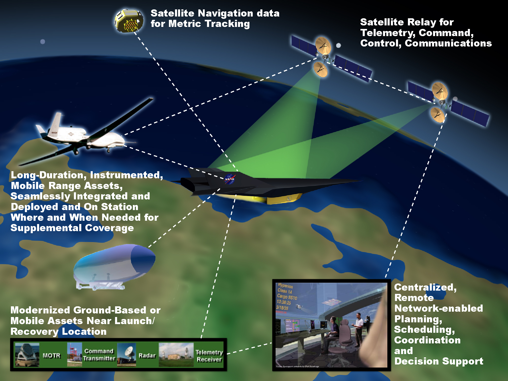
Like its neighbor Hog Island to the south, Wallops Island is fighting the Atlantic Ocean. Beach erosion of 10 to 22 feet per year, accelerated by rising sea levels, has forced NASA to rebuild access roads and parking lots multiple times. The agency responds by continually pumping sand onto the shoreline, fortifying the island against the same geological forces that have reshaped Virginia's barrier islands for centuries. The irony is sharp: a facility dedicated to understanding the Earth's atmosphere and the environment of outer space now contends with the consequences of a changing climate at its own front door. About 1,000 NASA civil service employees, along with contractors, roughly 30 Navy personnel, and about 100 NOAA employees, work at Wallops. The facility's mobile range assets -- transportable radar, telemetry receivers, and command transmitters -- have supported launches from locations in the Arctic, Antarctic, South America, Africa, Europe, Australia, and at sea. But the home base remains this narrow strip of Virginia sand, where rockets still climb into the sky and the ocean keeps rising to meet them.
From the Air
Wallops Flight Facility is located at approximately 37.933°N, 75.468°W on Virginia's Eastern Shore. The facility is immediately recognizable from the air: look for the cluster of launch pads on Wallops Island, the long runways of the Research Airport on the Main Base, and the distinctive SPANDAR radar dish. The ICAO identifier for the WFF airport is KWAL. Restricted Area R-6604 connects WFF airspace to offshore warning areas -- check NOTAMs before transiting. Norfolk International (KORF) is approximately 70 nm southwest, and Salisbury-Ocean City Wicomico Regional (KSBY) is about 40 nm north. Best viewed at medium altitude where the full layout of launch pads, runways, and the eroding barrier island coastline are visible.