Wâlterswâld
Read the village's name out loud the way the Frisians do — Wâlterswâld, the circumflex accents lengthening the vowels into something rounder and older than Dutch — and you've already done what the municipality of Dantumadiel decided in 2008 needed doing: setting the West Frisian name above the Dutch one. From 2009 onward, Wouterswoude officially became Wâlterswâld. It was a small bureaucratic act with a long memory behind it, because this village has been quietly choosing its own name, and its own location, for the better part of a thousand years.
The Mound Called Walthiem
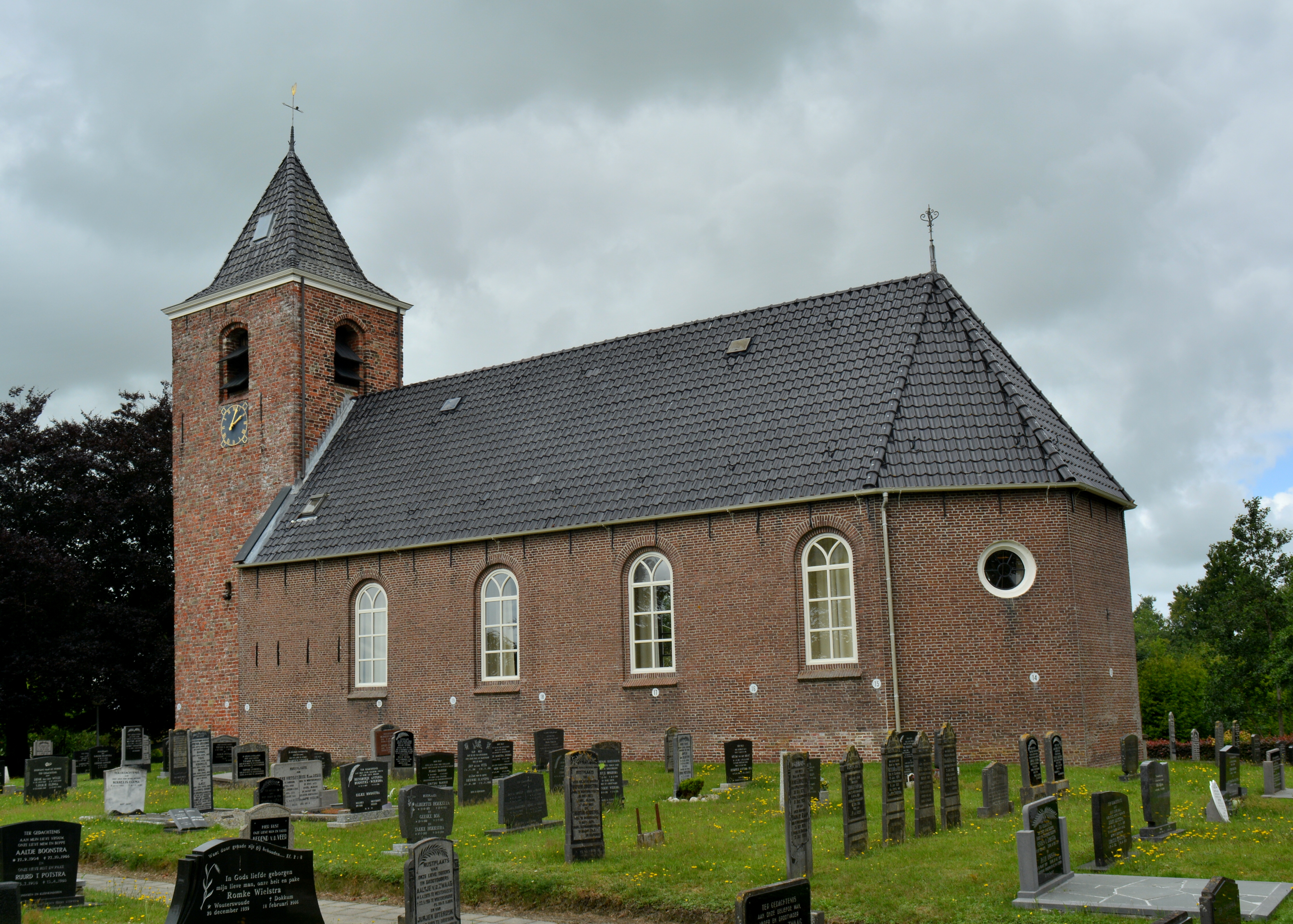
Long before the village had a sign, it had a mound. The Frisians call them terpen — artificial dwelling hills, hand-built earthworks raised over centuries to keep families and livestock above the floods that periodically swept this low country. The terp that started Wâlterswâld was called Walthiem, and it sat in the gently rolling countryside southeast of Dokkum. A 1331 charter refers to the place as in Montibus — 'on the mountain' — which is a fond Frisian exaggeration for anything that rises more than a meter or two above sea level. On the largest terp stood a chapel with a statue of Mary, later expanded into an abbey grange tied to the Bagijn monastery of Sion. The countryside there is still called Walthiem today, even though the village itself drifted south.
Walking Into the Peat
Sometime in the 13th and 14th centuries, the residents picked up and moved. Not far — a kilometer or two south — but into a fundamentally different landscape. The peat swamp called Walters halen offered something the mound never could: fuel. Peat could be cut, dried, and burned to heat houses and fire kilns, and across northern Friesland whole communities relocated themselves to follow the bog. The village strung itself along two roads, the Foarwei to the south and the Achterwei to the north, creating the twin-spine layout that still defines Wâlterswâld today. The southern residential core eventually fused with neighboring Driezum, producing the joint village of Driezum-Wâlterswâld, two settlements sharing a community center called De Nije Warf and most of the local clubs.
A Name in Six Spellings
Like most Frisian places, Wâlterswâld has been spelled almost every way a clerk could imagine. The earliest surviving citation, from 1482, calls it Walters wald in West Frisian. By 1540 the Dutch were writing Wolterwold. Then Walters wolde in 1573, Wolterswolde in 1664, and Wouterswoude from the 18th century onward, which became the standard Dutch form for the next two and a half centuries. None of these are wrong, exactly; they are the same name traveling through different mouths. What changed in 2009 was which mouth got the official sign. Dantumadiel municipality decided across the board to make the West Frisian names the primary ones, so Wouterswoude returned to being Wâlterswâld — circumflexes, lengthened vowels, and all the old syllables intact.
Dokkumer Wouden
The countryside around the village is part of the Dokkumer Wouden, a landscape of small fields, hedgerows, and quiet single-lane roads that loops south and east from Dokkum. It is not dramatic country. It does not advertise itself. But it rewards anyone who slows down enough to see it: the long horizontals of Frisian farmland, the spire of Dokkum's church on the skyline to the north, the church towers of one village visible from the next because there is nothing in between to block the view. About 920 people lived in Wâlterswâld at the 2017 count. They share community life with Driezum next door, gather at De Nije Warf for the village's events, and live on land their ancestors first chose because it sat just high enough above the water to be safe.
From the Air
Located at 53.30°N, 6.03°E in Dantumadiel municipality, Friesland, about 5 km southeast of Dokkum. Recommended viewing altitude FL060-FL100 to take in the twin-village layout with neighboring Driezum and the Dokkumer Wouden countryside. Nearest airports: Drachten (EHDR) to the south-southwest, Groningen Eelde (EHGG) to the east-southeast. Look for the two parallel village streets (Foarwei and Achterwei) and the church towers stitching the landscape between Dokkum and the Lauwersmeer.