Warm Springs Indian Reservation
The surveyor's error lasted 101 years. In 1871, T.B. Handley measured the boundary wrong, shrinking tribal land by thousands of acres. The Warm Springs people knew it immediately. Sixteen years later, another surveyor confirmed they were right. But by then, white settlers had moved onto the disputed strip. The government offered money. The tribes refused. They waited a full century until 1972, when Public Law 92-427 finally restored what was always theirs. This patience defines the Confederated Tribes of Warm Springs, three once-rival peoples who built something lasting in Oregon's high desert.
Enemies Become Family
The Wasco lived along the Columbia River as traders and fishers. The Tenino hunted the plateau lands south of the river. Both had fought the Northern Paiute for generations. Yet here they are, unified since 1938 as the Confederated Tribes of Warm Springs. The merger was not born of choice but of displacement. The Treaty of 1855 exchanged ten million acres the tribes had inhabited for over 10,000 years in return for education, healthcare, and hunting rights in their ancestral territories. In 1879, the government forced an even stranger marriage, relocating 38 Paiutes to live among their former enemies. More followed in 1884. From this forced coexistence came something unexpected: a thriving confederation of 4,200 enrolled members governing 640,000 acres of high desert and mountain forest.
The Last Speakers
Walk the halls of Warm Springs schools and you will hear sounds vanishing from the Earth. Kiksht, the Upper Chinook language. Numu, the Northern Paiute tongue. Ichishkiin Snwit, the Sahaptin language of the Tenino. This reservation is one of the last strongholds of Chinook Jargon, the trade language that once united dozens of tribes across the Pacific Northwest. The elders here speak a form distinct from the creolized version at Grand Ronde. Each language carries knowledge that cannot be translated, ways of understanding salmon runs and seasonal patterns encoded in words that have no English equivalent. The Museum at Warm Springs, opened in 1993, houses artifacts spanning millennia, but the living languages spoken in nearby homes may be more valuable than anything behind glass.
Water and Power
The Deschutes River cuts through the reservation like a lifeline. It powers hydroelectric plants that generate the tribes' primary revenue through Warm Springs Power Enterprises. It feeds a treatment facility serving 3,800 people. And it sustains a fishing tradition stretching back ten millennia. At Sherars Falls, tribal members dip-net for salmon and steelhead as their ancestors did. Pacific lamprey still ascend these waters each year, an ancient species harvested here and at Willamette Falls. Court cases like Sohappy v. Smith and United States v. Oregon have reaffirmed what the Treaty of 1855 promised: these are not special rights granted by the government but inherent rights the tribes retained when they ceded their lands.
Wolves Return, Futures Emerge
In June 2020, tribal biologists fitted a radio collar to a young male wolf from the White River pack. By February 2021, that two-year-old had traveled hundreds of miles to become the sixteenth documented gray wolf in California's repopulation, reaching Mono County near Yosemite. The Confederated Tribes have partnered with Oregon's Department of Fish and Wildlife to track wolves returning to lands they once roamed freely. By August 2022, trail cameras captured pups on the reservation itself. But conservation is just one frontier. In 2016, the FAA authorized the tribe to certify drone operators, one of several ventures proposed after the lumber mill closed that year. Cannabis cultivation, carbon offsets, drone manufacturing, the tribes are writing a new economic chapter while wolves howl again in the Cascades.
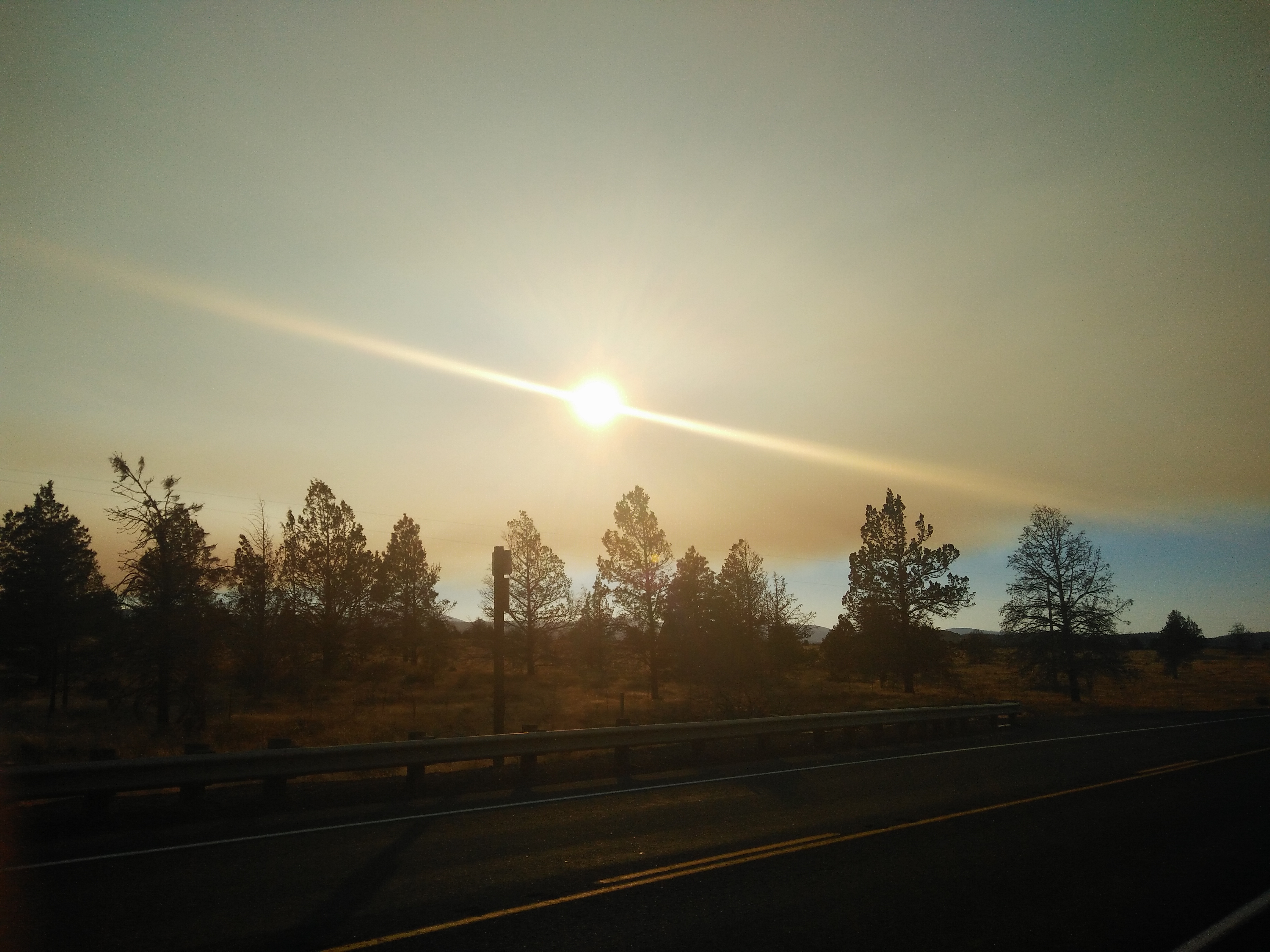
From the Air
Located at 44.87N, 121.45W in north-central Oregon. The reservation spans 640,000 acres of high desert and mountain terrain between the Deschutes River and Mount Jefferson. Best viewed at 8,000-10,000 feet for the full scope of the landscape. Nearest airports include Redmond Municipal (KRDM) 35nm southeast and Portland International (KPDX) 100nm northwest. The distinctive high desert terrain contrasts sharply with the forested Cascade slopes to the west.