Warner's Ranch
John Trumball Warner left Connecticut in 1830 and never looked back. By 1844, he had become Juan Jose Warner, a naturalized Mexican citizen, and held the Rancho San Jose del Valle land grant in a valley where hot springs steamed and the Cupeno people had lived for generations. His ranch would become the only trading post between New Mexico and Los Angeles, a critical waystation where exhausted emigrants stumbled in from the desert crossing, their journey nearly complete. Warner's Ranch witnessed the Mexican-American War, the California Gold Rush, the Civil War, and a Supreme Court case that acknowledged Indigenous land rights while simultaneously denying them. Two adobe buildings from 1849 and 1857 still stand, silent witnesses to one of California's most layered histories.
Crossroads of Conquest
On December 2, 1846, Stephen Watts Kearny reached Warner's Ranch with a small command from New Mexico, pausing on his fateful march toward the Battle of San Pasqual. The Mormon Battalion followed, establishing Cooke's Wagon Road from New Mexico to California. From 1849 to 1861, the ranch served thousands of emigrants on the Southern Emigrant Trail and the Gila River route, offering supplies, rest, and the first real civilization after the brutal desert crossing from Yuma. The Butterfield Overland Mail made it a stagecoach stop from 1858 to 1861, linking it to San Diego via the road through Santa Isabel. Travelers who had survived Apache territory and waterless stretches could finally breathe, knowing Los Angeles lay within reach.
The Cupeno Dispossession
The Cupeno people had lived in this valley long before Spanish missionaries arrived. They were forced into the colonial mission system and over time lost control of their land, though Mexican law theoretically guaranteed them rights to land they tilled and settled. When California became American, new tax obligations fell upon them. Many worked on Warner's ranch, which gained a reputation for harsh treatment of Indigenous workers. In 1851, during the Garra Revolt, the Cupeno under Antonio Garra attacked the ranch. Warner sent his family to Los Angeles as buildings burned, but continued operating until legal challenges to his grant forced him out.
A Verdict Too Late
In 1880, former California Governor John G. Downey became sole owner of Warner's Ranch. In 1892, he began legal efforts to evict the Cupeno. The tribe challenged his actions under both Mexican and United States law, and the case reached the Supreme Court in 1901. The court's ruling was devastating in its irony: the Cupeno were correct in their assessment of their rights to the land, but they had waited too long to press their claim. They won the argument and lost their homeland. Despite public sympathy and efforts to raise funds to purchase their own land, the Cupeno were forcibly relocated to the Pala Indian Reservation on May 12, 1903. The march became known as the Cupeno Trail of Tears.
Soldiers and Stage Lines
During the American Civil War, Union troops established Camp Wright on the ranch grounds on October 18, 1861. The installation was designed to protect California from Confederate attack along the emigrant route from Arizona. The position proved difficult, with frequent high winds battering the exposed location. Within weeks, on November 23, 1861, Major Edwin A. Rigg moved the camp to Oak Grove Butterfield Stage Station, some distance to the north. The stagecoach era ended in the 1880s when the Southern Pacific Railroad completed its tracks to Tucson from Yuma, rendering the overland mail routes obsolete.
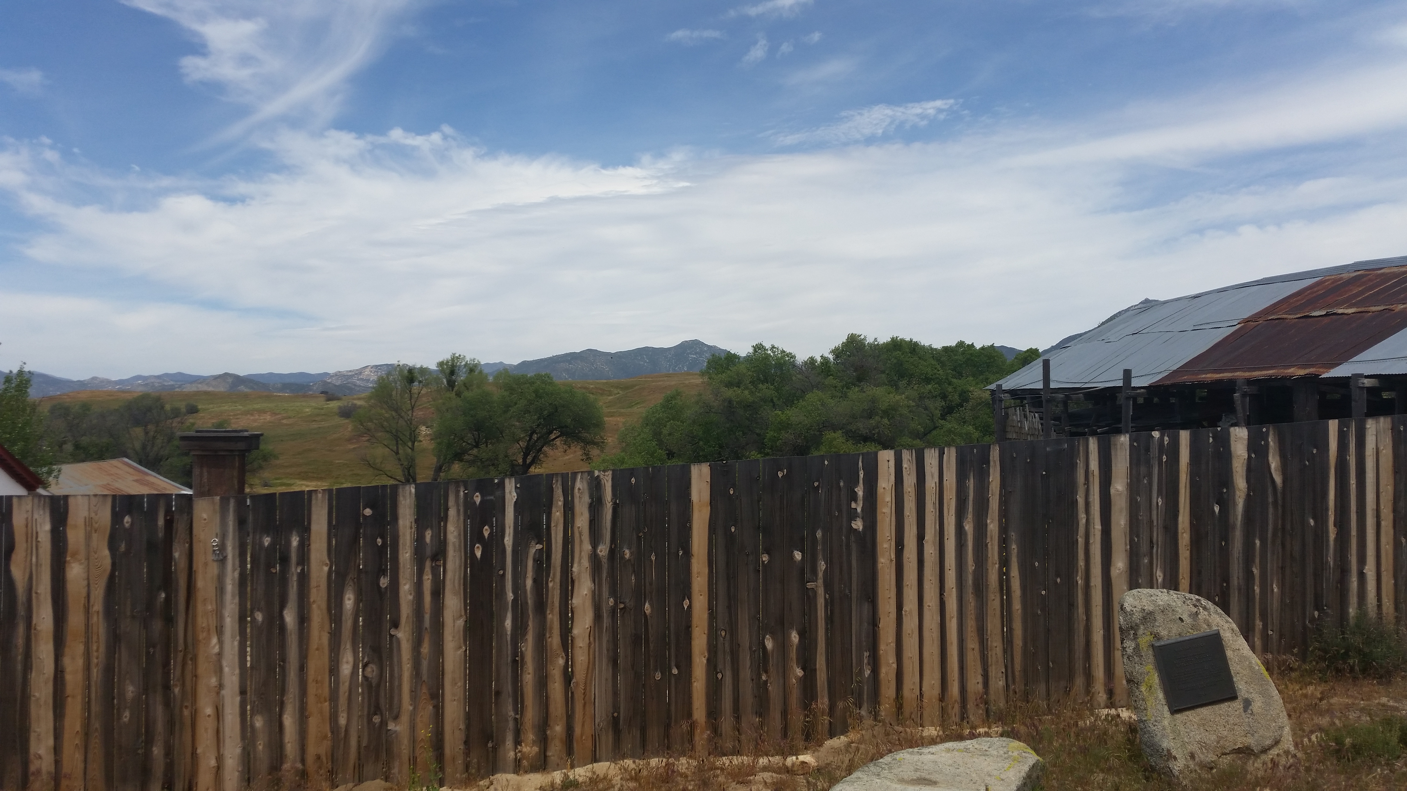
What Remains
The ranch house was designated a National Historic Landmark in 1961 and a California Historical Landmark in 1939. The property holds the now-restored 1849 adobe ranch house and the 1857 Carrillo Adobe and barn, which served as the original Butterfield Stage Station and Trading Post. The adobe walls have witnessed more than 175 years of California history. Today, the Ranch House is open to the public on weekends from noon to 4 PM and by appointment. The hot springs that first drew the Cupeno to this valley still flow. Warner Springs, the small community that grew around the ranch, carries the name of a Connecticut merchant who reinvented himself as a Mexican ranchero and built a waystation that shaped the American West.
From the Air
Located at 33.24°N, 116.65°W near Warner Springs, California. The ranch sits in a high valley with the hot springs visible nearby. Nearest airports: Borrego Valley Airport (L08) 20nm southeast, Ramona Airport (RNM) 25nm southwest. Best viewed at 4,000-5,000 feet AGL. The Palomar Mountain range rises to the west, and the Anza-Borrego Desert stretches to the east. Lake Henshaw is visible 5nm to the northwest.