Washington Maritime National Wildlife Refuge Complex
From the air, they look like rubble scattered by a giant - hundreds of rocks, islets, and sea stacks strewn along 100 miles of Washington's outer coast, battered by Pacific swells and crusted white with guano. These are the Washington Maritime National Wildlife Refuges, and they have been off-limits to humans for over a century. Theodore Roosevelt created three of them with the stroke of a pen on October 23, 1907: Flattery Rocks, Quillayute Needles, and Copalis Rock. He could not have known that his executive orders would protect what would become one of the most important seabird breeding grounds on the Pacific coast, home to more than a million birds during migration season.
Roosevelt's Rocks
The three original refuges were created as 'reservations' - Flattery Rocks Reservation, Quillayute Needles Reservation, and Copalis Rock Reservation. A presidential proclamation renamed them as National Wildlife Refuges on July 25, 1940. Their boundaries are defined by latitude: Flattery Rocks covers the offshore islands between 48 degrees 02 minutes and 48 degrees 23 minutes North, Quillayute Needles those between 47 degrees 38 minutes and 48 degrees 02 minutes, and Copalis those between 47 degrees 08 minutes and 47 degrees 29 minutes. Together with three additional refuges added later, they form the Washington Maritime National Wildlife Refuge Complex, administered by the U.S. Fish and Wildlife Service.
In 1966, James Island was removed from the Quillayute Needles refuge and returned to the Quileute people when it was determined that the island fell within the boundaries of the Quileute Indian Reservation. The correction was quiet - a bureaucratic acknowledgment that the original executive order had enclosed land that was never the government's to take.
A Million Wings
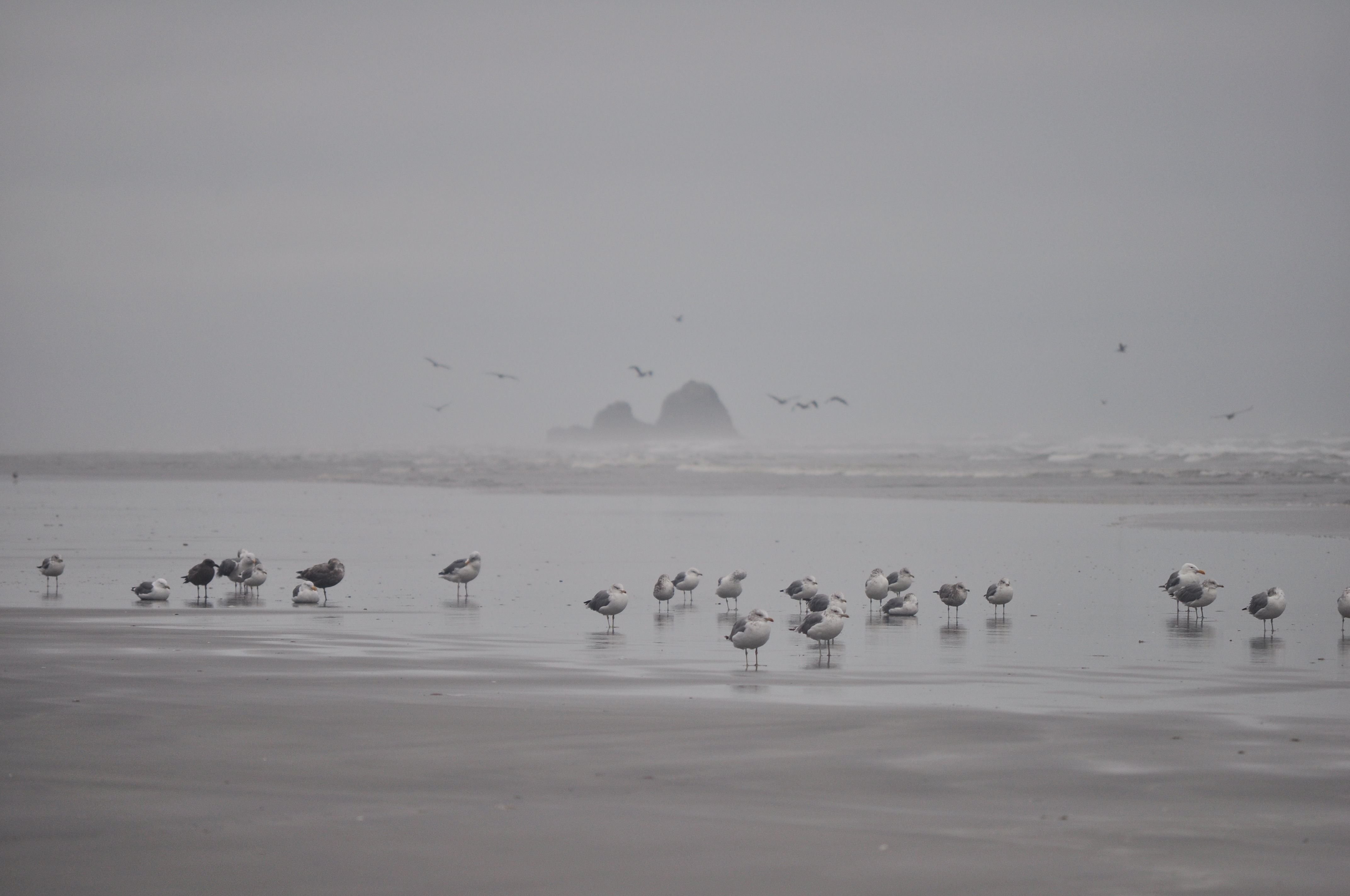
During peak migration, more than a million seabirds, waterfowl, and shorebirds move through and around these islands. Fourteen species of seabirds breed on the rocks, building nests on ledges and in crevices that no terrestrial predator can reach. The isolation is the point. Without rats, cats, or foxes, ground-nesting birds can raise their young in relative safety.
The mammals are equally impressive. Steller and California sea lions haul out on the larger rocks, their barking audible from the mainland on calm days. Harbor seals rest in the shallows between the stacks. Sea otters, once extirpated from Washington's coast by the fur trade, have reestablished along this stretch of coastline from translocated Alaskan populations. Gray whales pass offshore during their annual migration between Baja California and the Bering Sea. The waters around the rocks teem with the forage fish and invertebrates that sustain the entire food web.
Wilderness at Sea
In 1970, the offshore islands were designated the Washington Islands Wilderness, encompassing 1.8 square kilometers of land scattered across more than 780 square kilometers of ocean. Only three islands were excluded: Tatoosh Island, James Island, and Destruction Island. The wilderness designation added a second layer of protection to Roosevelt's original refuge boundaries, prohibiting any development or permanent human presence.
A 200-yard buffer zone surrounds each island. Boats can approach for wildlife observation, but landing is prohibited. From the mainland cliffs and beaches of Olympic National Park, visitors can watch the rocks through binoculars - sea stacks crowded with murres, puffins gliding low over the swells, the occasional bald eagle circling above a colony. The refuges exist within the Olympic Coast National Marine Sanctuary, managed by NOAA, creating a layered system of federal protection. The three agencies - Fish and Wildlife, the Park Service, and NOAA - cooperate on research and management.
Sentinels of the Coast
Each refuge has its own character. Flattery Rocks, the northernmost, includes the dramatic Point of Arches formation near Shi Shi Beach - a series of rock arches carved by wave action into shapes that look deliberately sculpted. Quillayute Needles, in the middle stretch, features tall spire-like formations that give the refuge its name, rising like dark teeth from the grey Pacific. Copalis, the southernmost, includes lower-profile rocks visible from Roosevelt Beach, named for the same president who protected them.
These rocks are not static. The Pacific is constantly reshaping them, carving new arches, collapsing old ones, depositing marine organisms on surfaces that were bare stone a decade ago. The birds adapt, shifting colonies as erosion changes the landscape. What Roosevelt set aside in 1907 was not a museum but a living system, wild and self-correcting. From the air, the white-capped rocks against the dark ocean look like a constellation - each point of light a colony, each colony a link in a chain of life that stretches from the Arctic to the tropics.
From the Air
Located along Washington's outer coast from approximately 47.08N to 48.38N, 124.33W to 124.73W. The refuges appear as scattered rocky islets and sea stacks along the coastline, many whitened with bird guano. Key visual landmarks include Point of Arches (Flattery Rocks) near Shi Shi Beach in the north, the needle-like formations of Quillayute Needles in the central section, and Copalis Rocks visible from Roosevelt Beach in the south. Destruction Island, the largest island, sits offshore near Kalaloch. Nearest airports: William R. Fairchild International (KCLM) in Port Angeles to the north, Bowerman Airport (KHQM) in Hoquiam to the south, Quillayute Airport (KUIL) near Forks in the central section. The Olympic Coast National Marine Sanctuary extends offshore. Expect persistent marine weather with frequent low cloud ceilings.