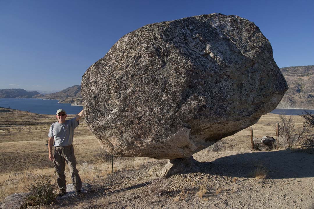
Wedgwood Rock
In 1970, the Seattle City Council made it illegal to climb a rock. Not a cliff face in the Cascades or a boulder on public land, but a single glacial erratic sitting among houses on 28th Avenue NE, near NE 72nd Street, in the Wedgwood neighborhood. The fine was up to $100. The reason was hippies. But the rock's story stretches back 14,000 years before the counterculture arrived, to a time when a mile-thick sheet of ice carried a 700-metric-ton chunk of stone 55 miles south from what is now Fidalgo Island and set it down in a dense forest that would not see a road for millennia.
A Gift from the Ice
Geologists call it the Wedgwood Erratic, and its mineral composition matches the rock of Mount Erie on Fidalgo Island in Skagit County, 55 miles to the north. During the Vashon Glaciation, the Puget Lobe of the Cordilleran Ice Sheet picked up this massive stone and carried it south, depositing it when the ice retreated more than 14,000 years ago. For Native Americans, it served as a landmark in what was then thick forest -- a fixed point in a landscape of towering conifers and underbrush. Before the Wedgwood neighborhood existed, settlers called it Lone Rock. Later, as the area developed, it became Big Rock. The name changed with each generation, but the stone remained exactly where the glacier left it.
Pioneers and Their Wars
In 1881, the rock sat on the 160-acre farm of William Weedin. By 1888, the property had passed to Mary Miller, widow of William Miller -- a settler who had been an ally of Territorial Governor Isaac Stevens and fought in both the Puget Sound War and the Yakima War of 1856-1857. The Miller family maintained the land around the rock for decades. Mary's son Winlock Miller, who served on the University of Washington Board of Regents and championed the creation of Mount Rainier National Park, kept the surrounding acres undeveloped well into the 1940s. When he finally sold to developer Albert Balch, Miller extracted a promise that the area immediately around the rock would be preserved as a park. Balch broke that promise, and in 1946 a citizens' group petitioned the Seattle City Council to protect the site. The council refused.
Training Ground for Everest
What the city would not protect, climbers adopted. With the Miller family's permission, members of Seattle's Mountaineers Club had been practicing rock-climbing techniques on Big Rock since the early twentieth century. University of Washington professor Edmond S. Meany, president of the Mountaineers, brought his students to study glacial geology there. German-born climber Wolf Bauer taught Boy Scouts to climb on its face, and REI founder Lloyd Anderson ran instruction sessions for both Mountaineers and Scouts. Among the climbers who first learned their craft on this suburban boulder were Fred Beckey, the legendary German-born alpinist, and Jim Whittaker, who in 1963 became the first American to summit Mount Everest. A 700-ton rock in a quiet neighborhood, it turns out, was the proving ground for some of the most consequential ascents of the twentieth century.
Hippies, Picnickers, and the Law
Even surrounded by houses, the rock drew picnickers, university students, and climbers through the mid-twentieth century. Then the 1960s arrived, and so did the hippies. Their presence -- and their perceived drug use -- alarmed the neighbors enough that the Seattle City Council passed an ordinance in 1970 making it a crime to climb the rock, punishable by a fine of up to $100. It was an odd fate for a stone that had trained Everest climbers and taught generations of geology students about ice-age landscapes. Today the rock still sits on 28th Avenue NE, surrounded by trees and brush, kept clear by local residents who tend to it as though it were a neighbor itself. Fourteen thousand years of weather have not moved it. Neither have any of the people who tried to decide what it should mean.
From the Air
Located at 47.681N, 122.297W in the Wedgwood neighborhood of northeast Seattle. The rock itself is not visible from altitude -- it sits among residential houses near the intersection of 28th Avenue NE and NE 72nd Street. The neighborhood lies northwest of the University of Washington campus and northeast of Green Lake. Nearby airports include Boeing Field/King County International (KBFI, 8 nm south) and Seattle-Tacoma International (KSEA, 14 nm south). Best appreciated from ground level, but the residential grid pattern of Wedgwood is identifiable from 2,000-3,000 ft AGL.