Wenatchee
Drive over the Cascades from Seattle, and Wenatchee appears as a kind of oasis: green orchards spreading across the valley floor, the Columbia River wide and blue, sunshine breaking through after miles of mountain cloud. The Wenatchee Valley has been cultivating apples since the first settlers arrived in the late 1800s, and the industry still defines the city. Washington State produces more apples than any other, and a remarkable portion of them grow within sight of Wenatchee's downtown. But the city has grown beyond its agricultural roots into a proper regional center - over 100,000 people in the greater area now, drawn by the combination of outdoor access, reliable weather, and the particular beauty of a river confluence in high desert country.
Sunshine Country
Wenatchee claims nearly 300 days of sunshine per year, a statistic that sounds improbable until you spend a Seattle winter watching the clouds end precisely at the Cascade crest. The city sits in the rain shadow of the mountains, receiving barely a quarter of Seattle's annual precipitation. The climate is continental rather than marine: hot summers, cold winters, dramatic seasonal shifts. Snow falls in the valley; the surrounding peaks accumulate enough for the Mission Ridge ski area to operate through spring. This reliable sunshine, combined with irrigation from the Columbia and its tributaries, creates ideal conditions for the orchards that blanket the surrounding hillsides.
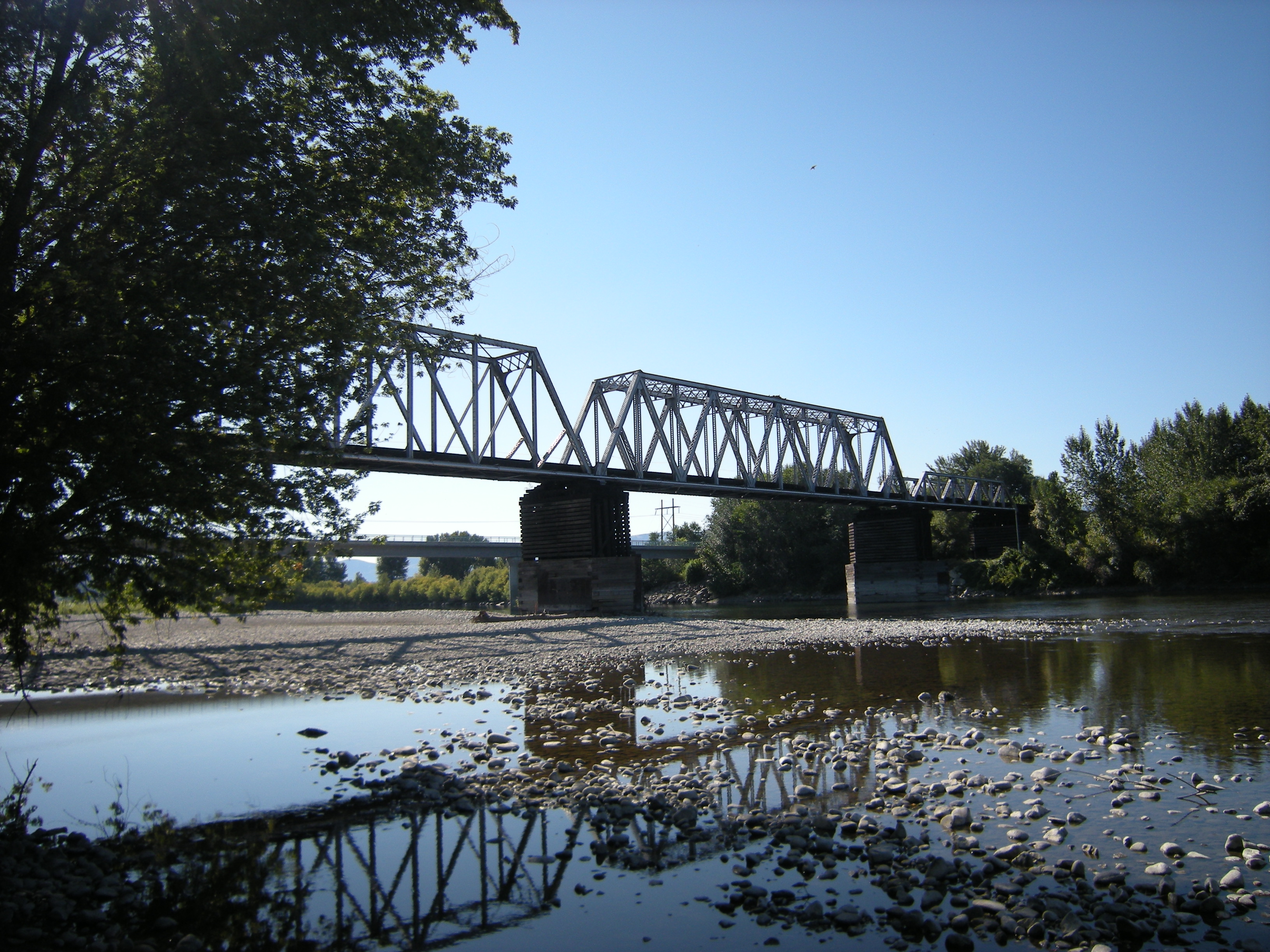
At the Rivers' Confluence
The Wenatchee River joins the Columbia just south of downtown, completing a journey that begins high in the Cascades near Lake Wenatchee. The confluence creates the geographical logic of the city: a natural gathering place where valleys converge and travel routes meet. Archaeologists believe people have lived in this valley for at least 12,000 years, based on Clovis artifacts found in the area - the Yakama people are thought to be descendants of those ancient inhabitants. White settlers arrived in force in the late 1800s, drawn by the same fertile valley and reliable water that had sustained indigenous communities for millennia.
Gateway to the Mountains
Wenatchee sits at the junction of highways leading into some of Washington's most spectacular terrain. US-2 climbs west over Stevens Pass to the Puget Sound lowlands, passing through the faux-Bavarian village of Leavenworth en route. US-97 runs north to Lake Chelan, a fjord-like lake that stretches deep into the North Cascades wilderness. The Empire Builder stops at the Amtrak station downtown, connecting Wenatchee to Seattle, Spokane, and points east. For cyclists, the Apple Capital Loop Trail follows the Columbia and Wenatchee rivers for 10 miles of paved pathway. The city has learned to market itself as an outdoor destination, drawing visitors who want mountain access without Seattle's traffic or Leavenworth's crowds.
More Than Apples
The slogan 'Apple Capital of the World' is not mere boosterism - Washington produces over 100 million boxes of apples annually, and a significant portion originate in the Wenatchee Valley. Fruit stands line the highways in season, offering varieties that never make it to distant supermarkets. But the economy has diversified beyond agriculture. East Wenatchee sprawls across the Columbia's opposite bank; technology companies have established offices; the medical center serves a regional population. The downtown maintains a walkable main street - Wenatchee Avenue runs from 2nd Street to Orondo Avenue with the small-town mix of boutiques and practical shops. The Pybus Public Market offers local produce and crafts. The city feels prosperous without pretension, comfortable in its identity as a place where the mountains meet the high desert.
From the Air
Located at 47.42N, 120.33W at the confluence of the Wenatchee and Columbia rivers, elevation approximately 650 ft. The city sits in a valley between the Cascade foothills to the west and the Columbia Plateau to the east. Pangborn Memorial Airport (KEAT) offers commercial service, 2,900 ft field elevation, 6,000+ ft paved runway. The Columbia River is a prominent landmark; the valley narrows to the north toward Lake Chelan. Mission Ridge ski area (6,820 ft summit) lies 12nm southwest. Expect generally excellent VFR conditions with clear skies common. Mountain wave turbulence possible with strong westerly flow. Stevens Pass (4,061 ft) lies 35nm to the west on the route to Seattle.