Whitehorse Rapids
The Whitehorse Rapids were the most dangerous obstacle on the water route to the Klondike goldfields. After crossing the Chilkoot or White Pass, stampeders built boats at Lake Bennett and floated down the Yukon River toward Dawson City. But between Lake Marsh and Miles Canyon lay a gauntlet: first the turbulent Miles Canyon, then the Squaw Rapids, then the Whitehorse Rapids - a stretch of whitewater that churned boats to splinters and drowned men by the dozens. In 1898, the North-West Mounted Police required all women and children to walk around the rapids while men piloted boats through. Professional pilots made fortunes running boats for those who wouldn't risk it. The death toll prompted construction of a tramway around the worst stretches, then a railroad from Skagway that bypassed the water route entirely. The city that grew at the head of navigation - Whitehorse - became the Yukon's capital, outliving the gold rush that created it.
The Rapids
The Whitehorse Rapids were named for the white-capped waves that resembled horses' manes. Combined with Miles Canyon upstream, they created a five-mile gauntlet of dangerous water. Miles Canyon was a narrow chute carved through basalt columns, its walls rising 50 feet as the river compressed and accelerated. Below the canyon, Squaw Rapids and then Whitehorse Rapids added more chaos. In the spring of 1898, 150 boats and several lives were lost in a single week. The Mounties intervened, requiring inspection of boats and pilots. Jack London, among the stampeders, earned money piloting boats through for those unwilling to risk it. Most stampeders portaged around the worst sections, dragging their goods along the shore.
The Solutions
The death toll and delays prompted entrepreneurial solutions. Norman Macaulay built a wooden tramway along the shore, charging five cents per pound to move goods past the rapids. Others offered boat piloting services. In 1898, a sternwheeler managed to ascend the rapids, proving that steamboats could operate on the upper Yukon - creating Whitehorse as the head of navigation. By 1900, the White Pass & Yukon Railway connected Skagway to Whitehorse, eliminating the need for the dangerous water route entirely. Stampeders could ride the train in comfort, then board steamboats for the journey downriver. The rapids had created both an obstacle and an opportunity.
The Dam
In 1958, the Whitehorse Rapids Hydroelectric Dam was completed, flooding Miles Canyon and eliminating the rapids that had killed so many stampeders. The whitewater that had terrorized gold seekers now generates electricity. Only photographs and historical accounts preserve the original character of the rapids. Miles Canyon, now a placid reservoir, retains its basalt walls but none of its ferocity. The decision to dam the rapids was controversial - it destroyed an important historical site - but also practical. Whitehorse needed power, and the rapids no longer served transportation. The city that the rapids created now draws its electricity from their destruction.
The City
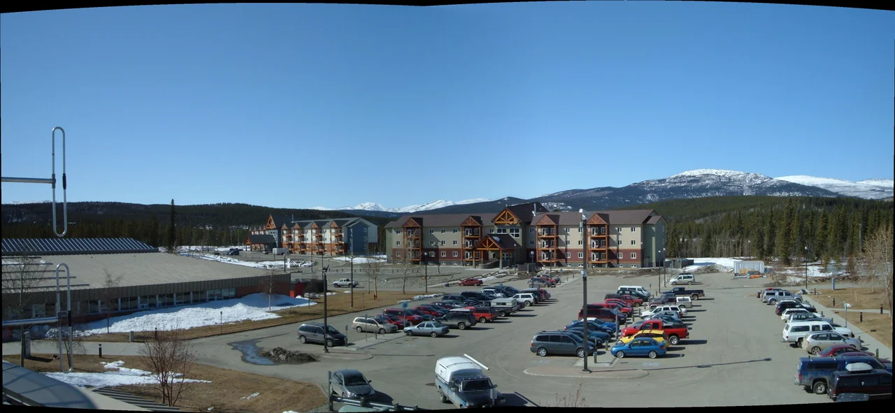
Whitehorse grew from a stopover point to the Yukon's largest city and territorial capital. When the gold rush ended, the city survived as a transportation hub, government center, and supply point for the territory. During World War II, construction of the Alaska Highway brought thousands of workers and permanent growth. Today, Whitehorse has about 40,000 residents - roughly three-quarters of the Yukon's population. The Miles Canyon area is now a popular hiking and kayaking destination, though kayakers face nothing like the original rapids. The S.S. Klondike, a restored sternwheeler, sits on the riverbank downtown, commemorating the era when steamboats connected Whitehorse to Dawson City.
Visiting Whitehorse
Whitehorse is the capital of Canada's Yukon Territory, located at the head of navigation on the Yukon River. The S.S. Klondike National Historic Site preserves one of the last sternwheelers that plied the Yukon. Miles Canyon offers hiking trails above the reservoir that drowned the rapids; interpretive signs explain the gold rush dangers. The MacBride Museum tells Whitehorse's history from Indigenous times through the gold rush and beyond. The White Pass & Yukon Railway offers excursions from Skagway to the summit of White Pass (continuing to Whitehorse requires custom arrangements). Whitehorse is accessible by air (Erik Nielsen Whitehorse International Airport, YXY), by the Alaska Highway from British Columbia, and by the Klondike Highway from Skagway. Summer is the practical visiting season; northern lights viewing is possible in winter.
From the Air
Located at 60.72°N, 135.05°W in Canada's Yukon Territory. From altitude, Whitehorse appears as a small city along the Yukon River, with Miles Canyon visible as a narrow stretch of reservoir upstream. The Alaska Highway approaches from the south. The surrounding terrain is boreal forest and mountains. The river flows broadly through the valley, betraying none of the whitewater fury that once made this stretch deadly.
Nearby Stories
- The Carcross Desert: The World's Smallest Desert 44 km away
- Kluane: Canada's Secret Everest Training Ground 98 km away
- The Campbell Highway: The Loneliest Road in Canada 133 km away
- World's Largest Gold Pan 182 km away
- Glacier Bay National Park 210 km away
- Juneau: The Capital That No Road Can Reach 241 km away
- Keno Hill: The Richest Silver Mountain That Killed a Territory 324 km away
- The Sign Post Forest: 100,000 Messages from Home 335 km away