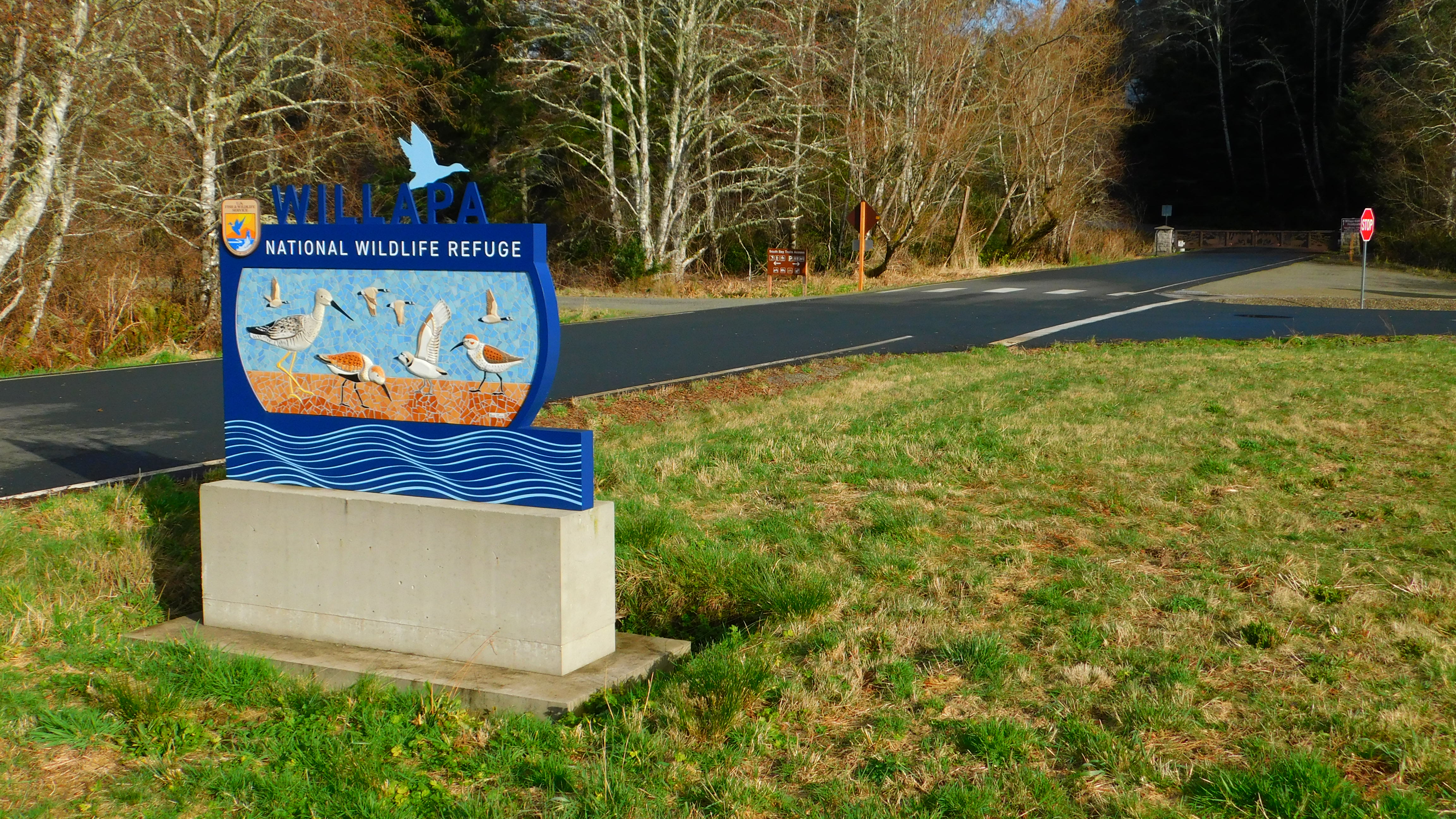
Willapa National Wildlife Refuge
Half the water inside Willapa Bay leaves with every tide. It drains out across vast mudflats that shimmer bronze and silver in the low light, exposing a feast of invertebrates that draws shorebirds by the tens of thousands. Then the Pacific pushes back in, flooding salt marshes and filling channels, and the bay becomes a different place entirely. This twice-daily transformation is the heartbeat of Willapa National Wildlife Refuge, over 21,000 acres of sand dunes, old-growth forest, tidal marsh, and coastal grassland strung along the shores of what may be the least-known great estuary in the American West. Willapa Bay covers 120 square miles of southwestern Washington, second in size on the Pacific coast only to San Francisco Bay, yet most Americans have never heard of it. That obscurity has been its salvation.
A President's Quiet Act
On January 12, 1937, President Franklin Roosevelt signed Executive Order 7541, establishing Willapa National Wildlife Refuge at a time when estuaries up and down the coast were being drained, diked, and developed. The tidal marshes surrounding Long Island had been identified as one of the most important concentration points for migratory waterfowl on the Washington coast, and Roosevelt's order placed them under federal protection before the bulldozers could arrive. The refuge grew slowly over decades, expanding from its original marshlands to encompass ocean beaches, freshwater wetlands, and dense coniferous forest. In 1978, the acquisition of Long Island added the refuge's crown jewel: a 5,460-acre island accessible only by boat, harboring some of the last old-growth Western red cedar and hemlock on the southern Washington coast. Today the refuge encompasses over 21,000 acres of tidelands, temperate rainforest, ocean beaches, and small streams spread across multiple units along Willapa Bay's shoreline.
The Ancient Grove
The old-growth cedars on Long Island stand in near-darkness. Their canopy is so dense that the forest floor receives almost no direct sunlight, and the understory is a tangle of ferns, mosses, and nurse logs slowly dissolving into the soil that feeds the next generation. Some of these Western red cedars have stood for centuries, their trunks wide enough that three people linking arms cannot encircle them. Hemlock towers alongside, draped in the hanging lichens that thrive in the perpetual dampness of the coastal Pacific Northwest. Reaching these trees requires a kayak or canoe across the bay to Long Island, then a hike through progressively denser forest along a trail that feels less like a path and more like a negotiation with the undergrowth. The isolation has been the grove's protection. While nearly all the old-growth cedar on the mainland was logged during the timber booms of the late 19th and early 20th centuries, Long Island's trees survived because getting them to a mill was never quite worth the trouble.
Wings Over the Mudflats
Every spring, Willapa Bay becomes one of the great avian crossroads of the Western Hemisphere. Up to 100,000 shorebirds descend on the mudflats during migration, refueling on the rich invertebrate life exposed by the tides before continuing north to Arctic breeding grounds. Western sandpipers, dunlins, and short-billed dowitchers arrive in flocks so dense they move like smoke across the flats. Bald eagles patrol from the treetops. Great blue herons stand motionless in the shallows, then strike with sudden violence. Peregrine falcons, the fastest animals alive, hunt the same shorebird flocks from above, folding their wings into stoops that exceed 200 miles per hour. The refuge also shelters species that have nowhere else to go. Snowy plovers nest on the coastal dunes, their sand-colored eggs nearly invisible against the beach. Marbled murrelets, seabirds that inexplicably nest in old-growth trees miles from the ocean, depend on the ancient forest of Long Island. Roosevelt elk browse the meadows, and black bears fish the streams during salmon runs that still pulse through the refuge's watersheds.
The Uninvited Guest
Not everything thriving in Willapa Bay belongs here. Smooth cordgrass, an Atlantic salt marsh plant likely introduced as packing material in oyster shipments from the East Coast, began colonizing the bay's mudflats in the early 20th century. By the 1990s, the invasion had become an ecological crisis. Cordgrass converts open mudflats into dense meadows, eliminating the feeding habitat that shorebirds require and altering tidal flow patterns throughout the estuary. The refuge has waged a decades-long battle against the grass, employing herbicides, mechanical removal, and careful monitoring. The fight is ongoing but showing results: large areas of mudflat have been reclaimed, and the shorebird populations that depend on them have stabilized. It is one of the most ambitious invasive species removal efforts on the Pacific coast, largely invisible to the public but critical to the bay's ecological future.
The Bay That Feeds a Nation
Willapa Bay produces roughly nine percent of all oysters consumed in the United States. The shellfish industry here is older than the state of Washington itself, dating to the harvesting of native Olympia oysters by indigenous peoples and later by settlers in the mid-1800s. The relationship between oysters and the refuge is symbiotic in the truest sense: the oyster beds filter the bay's water, improving its clarity and quality, while the refuge's protected marshlands serve as nurseries for the larvae and small organisms that feed young oysters. A healthy estuary produces healthy shellfish, and a healthy shellfish industry has economic incentive to keep the estuary clean. This feedback loop has made Willapa Bay one of the cleanest estuaries on the West Coast, a place where conservation and commerce reinforce each other rather than collide. In 2023, the Migratory Bird Conservation Commission approved $1.3 million to acquire 239 additional acres for the refuge, ensuring that the bay's delicate balance between wild habitat and working waterway continues to hold.
From the Air
Located at 46.44°N, 123.97°W along the eastern shore of Willapa Bay in southwestern Washington. From altitude, the refuge appears as a patchwork of dark forest, silver-brown mudflats, and pale dune systems along the bay's shore. Long Island is the prominent forested island in the center-north of Willapa Bay, roughly 5,460 acres and clearly visible at any altitude. The bay itself is enormous - 120 square miles - and at low tide, over half its surface is exposed mudflat, creating a dramatic visual contrast. Willapa Harbor Airport (2S9) in South Bend sits approximately 15 miles northeast. Astoria Regional Airport (KAST) is about 35 miles south across the Columbia River in Oregon. The Long Beach Peninsula, the narrow sand spit separating Willapa Bay from the Pacific, is an unmistakable landmark from the air. Weather is frequently overcast with marine fog; best visibility in late summer.