Willem Janszoon
The first European to touch Australian soil did not know he had found a continent. On 26 February 1606, Willem Janszoon made landfall at the Pennefather River on the western shore of Cape York in Queensland, near what is now the town of Weipa. He thought he was charting the southern coast of New Guinea. He named the place he turned around Cape Keerweer -- Dutch for "turn again" -- and the name stuck, a permanent monument to the moment a navigator decided he had seen enough.
A Mate from Amsterdam
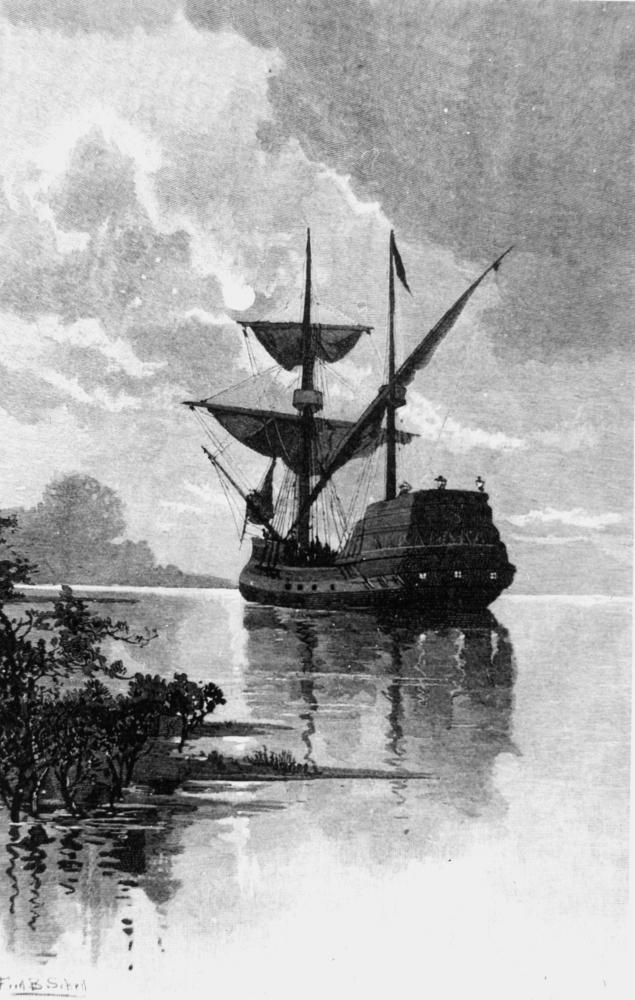
Almost nothing is known about Willem Janszoon before he entered the records of the Dutch East India Company. Born around 1570, the son of a man named Jan, he first appears in 1598 as a mate aboard the Hollandia, sailing with the second Dutch fleet to the East Indies under Jacob Corneliszoon van Neck. By 1601, he had risen to master of the Lam in the fleet of Joris van Spilbergen. His third voyage east, in December 1603, gave him command of a ship whose name would become inseparable from Australian history: the Duyfken, meaning "little dove." The vessel was small, part of a great fleet of twelve ships under Steven van der Hagen. When the other ships departed Java, Janszoon was dispatched to search for trade opportunities in "the great land of New Guinea and other East and Southlands."
The Duyfken's Violent Landfall
Janszoon's ship log and diary have been lost. What survives is his chart. From it, historians have traced the Duyfken's route from Bantam to the Banda Islands, then the Kai and Aru Islands, then along the coast of western New Guinea. Somewhere near what is now Yos Sudarso Island, Janszoon crossed the eastern Arafura Sea into the Gulf of Carpentaria, unaware that Torres Strait separated New Guinea from the landmass to the south. His February 1606 landfall preceded the Spanish explorer Luis Vaz de Torres's transit of the strait by several months. Janszoon charted roughly 320 kilometers of coastline, but the expedition was far from peaceful. Information pieced together from Jan Carstenszoon's journal of 1623 suggests the crew went ashore multiple times to seek trade, only to encounter conflict with Aboriginal peoples. Nine crew members died over the course of the voyage. Aboriginal oral traditions and Dutch archival materials offer competing timelines for where those deaths occurred, but the violence was real. By the time Janszoon turned back at Cape Keerweer, his crew was depleted and the riches that had motivated the journey were nowhere to be found.
Return, and a Name That Traveled
Janszoon returned to Banda by June 1606, convinced that the coast he had charted was simply a southern extension of New Guinea. Dutch maps would reproduce that error for years. He named the land he had encountered after the Dutch province of Zeeland, but the name was not adopted for Australia. Instead, it traveled halfway around the world: Dutch cartographers later applied it to New Zealand. In 1618, Janszoon returned to Australian waters. He reported landing on what he believed was an island at 22 degrees south, roughly 240 miles south-southeast of the Sunda Strait. Modern historians interpret this as the peninsula from Point Cloates to North West Cape on the Western Australian coast, not far from where the Ningaloo Reef begins. Once again, he left without grasping the scale of what lay before him.
From Navigator to Governor
Janszoon's later career followed the arc of a Dutch East India Company man who had proven himself useful. By 1617, he was back in the Netherlands, appointed to the Council of the Indies. He served as admiral of the Dutch Defence fleet and received a gold chain worth 1,000 guilders in 1619 for capturing four ships of the British East India Company near Tiku in West Sumatra. He negotiated with the English, sailed to Manila to block Chinese trade with the Spanish, rose to vice-admiral and then admiral. Near the end of his life, he governed Banda from 1623 to 1627. He is thought to have died around 1630. His original journal was lost, but the Duyfken chart survived long enough for Hessel Gerritszoon to use it in his 1622 map of the Pacific, producing the first map to show any part of Australia. That chart eventually made its way to the Imperial Library in Vienna, where it lay forgotten for two hundred years.
From the Air
Janszoon's 1618 landing is associated with the Point Cloates to North West Cape peninsula at approximately 22.72°S, 113.67°E on Western Australia's Gascoyne coast. His 1606 landfall was near present-day Weipa in Queensland. The Ningaloo Coast and Cape Range are visible landmarks. Nearest airport to the WA site is Learmonth (YPLM). Best viewed at 5,000-10,000 ft where the narrow peninsula and reef structure are clearly visible.