Wind River Canyon
In north-central Wyoming, the Wind River performs an impossible trick: it flows through a mountain range rather than around it. Wind River Canyon cuts through the Owl Creek Mountains because the river is older than the mountains themselves. As the range rose over millions of years, the river kept pace, eroding downward at the same rate the land lifted. The result is a 2,500-foot-deep canyon displaying 2.5 billion years of geological history - some of the oldest exposed rocks on Earth. US Highway 20 threads through the canyon, with signs marking each geological formation as drivers descend through deep time. Wind River Canyon is a textbook in stone, readable from a car window.
The Geology
Wind River Canyon exposes rocks spanning 2.5 billion years - from Precambrian gneiss at the bottom to Mississippian limestone at the rim. The canyon walls display major unconformities (gaps in the rock record) and every major geological period. Highway signs mark formations: Madison Limestone (340 million years), Flathead Sandstone (540 million years), and the ancient metamorphic rocks at river level (2.5 billion years). The sequence is relatively undeformed, making it unusually readable. Geologists use Wind River Canyon as a teaching laboratory; the formations are accessible and well-exposed. Few places on Earth compress so much time into such a compact drive.
The Antecedence
Wind River Canyon demonstrates 'antecedent' drainage - a river that predates the mountains it crosses. The Wind River established its course across this terrain before the Owl Creek Mountains began rising (roughly 70 million years ago). As the mountains lifted, the river cut downward, maintaining its course. This process requires the uplift to be slow enough for erosion to keep pace. Had the mountains risen faster, the river would have been deflected. Instead, it carved the canyon we see today - a river that literally sawed through rising rock. The phenomenon is rare; Wind River Canyon is one of the clearest examples.
The Highway
US Highway 20 follows the canyon for approximately 13 miles, hugging the river's edge beneath towering walls. The road was originally a railroad grade (the Chicago, Burlington and Quincy Railroad built through in 1913); the highway followed later. The canyon is narrow - in places, road, river, and railroad track squeeze together with barely room for all three. Geological formation signs mark the major units; patient drivers can read billions of years in a half-hour drive. Three tunnels pierce canyon walls. The road is well-maintained but can close in winter. This is one of Wyoming's most scenic drives, though many travelers rush through without stopping to read the rocks.
The River
The Wind River flows north through the canyon, becoming the Bighorn River at the canyon's north end (the name change is arbitrary - it's the same water). The river provides excellent fishing and whitewater. The section through the canyon offers Class II-III rapids, popular with rafters and kayakers. Fishing for trout and walleye draws anglers year-round. The river sustains cottonwood groves and wildlife in an otherwise arid landscape. The name 'Wind River' comes from the nearly constant wind that funnels through the canyon - a product of the same geography that channels the river.
Visiting Wind River Canyon
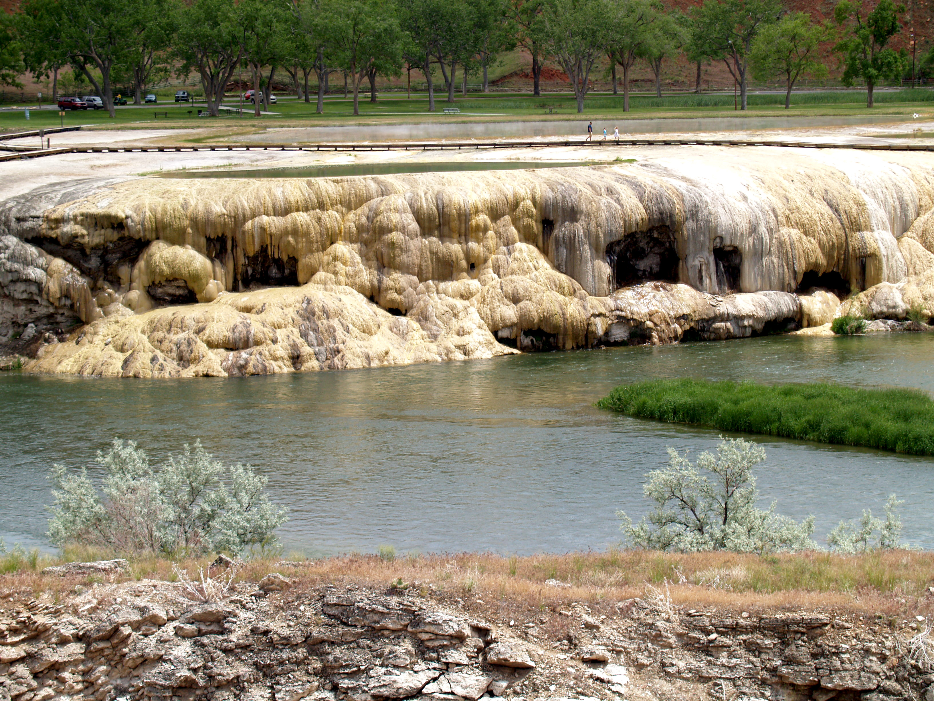
Wind River Canyon is located on US Highway 20 between Thermopolis and Shoshoni, Wyoming. The drive takes approximately 30 minutes without stops; plan longer to read geological signs and photograph canyon walls. No entrance fee; the highway is public. Thermopolis (north end) has the world's largest mineral hot springs (free public baths) and the Wyoming Dinosaur Center. Shoshoni (south end) has basic services. The canyon is on the Wind River Indian Reservation; respect tribal land. Casper is 80 miles southeast; Yellowstone is 90 miles northwest. The canyon is accessible year-round, though winter driving requires caution. The geological signs are the highlight - bring a guide or research formations beforehand for full appreciation.
From the Air
Located at 43.65°N, 108.20°W in north-central Wyoming. From altitude, Wind River Canyon is visible as a dramatic gash through the Owl Creek Mountains - the river threading through terrain that would otherwise block its path. The canyon's depth and narrowness are apparent. Thermopolis is visible at the canyon's north end; Shoshoni at the south. The Wind River/Bighorn River flows north through the canyon. The Owl Creek Mountains form an east-west barrier that the river predates and defeats. Yellowstone is 90 miles northwest. The terrain is classic Wyoming basin and range - mountains, valleys, and rivers cutting ancient courses.