World's Largest Gold Pan
On the Alaska Highway in Canada's Yukon Territory, where the road skirts Kluane Lake, stands a 20-foot-diameter gold pan. The World's Largest Gold Pan in Burwash Landing commemorates the gold rush history that shaped this remote corner of Canada. In 1903, a prospector named Fourth of July Creek Shorty discovered gold nearby, triggering the Burwash Creek Gold Rush - one of the last stampedes in a territory defined by the hunt for gold. The oversized pan, installed in 1987, captures the gold rush spirit in roadside monument form. It's one of countless 'world's largest' attractions along North American highways, but this one stands in actual gold rush country, where the dreams of easy riches drew thousands into impossible terrain.
The Gold Rush
The Klondike Gold Rush of 1896-1899 made the Yukon famous worldwide - 100,000 people set out for the goldfields, and 30,000 arrived in Dawson City. But gold discoveries continued after the main rush ended. In 1903, a prospector known as Fourth of July Creek Shorty found gold on Burwash Creek near Kluane Lake. Word spread, and a smaller rush brought several hundred prospectors to the area. The Burwash Creek gold was real but limited; most prospectors left disappointed. A few stayed, establishing the community that would become Burwash Landing. The gold pan commemorates this later chapter of Yukon gold rush history.
The Monument
The World's Largest Gold Pan was constructed in 1987 as part of Yukon heritage tourism. The pan measures approximately 20 feet in diameter - roughly 20 times the size of an actual prospector's gold pan. It sits on a pedestal in Burwash Landing, visible from the Alaska Highway. The pan is made of aluminum painted gold, glinting in the Yukon sun when weather permits. A smaller interpretive display explains the area's gold rush history. The monument is part of a tradition of oversized objects along North American highways - what roadside attraction historians call 'the world's largest' genre of tourist draws.
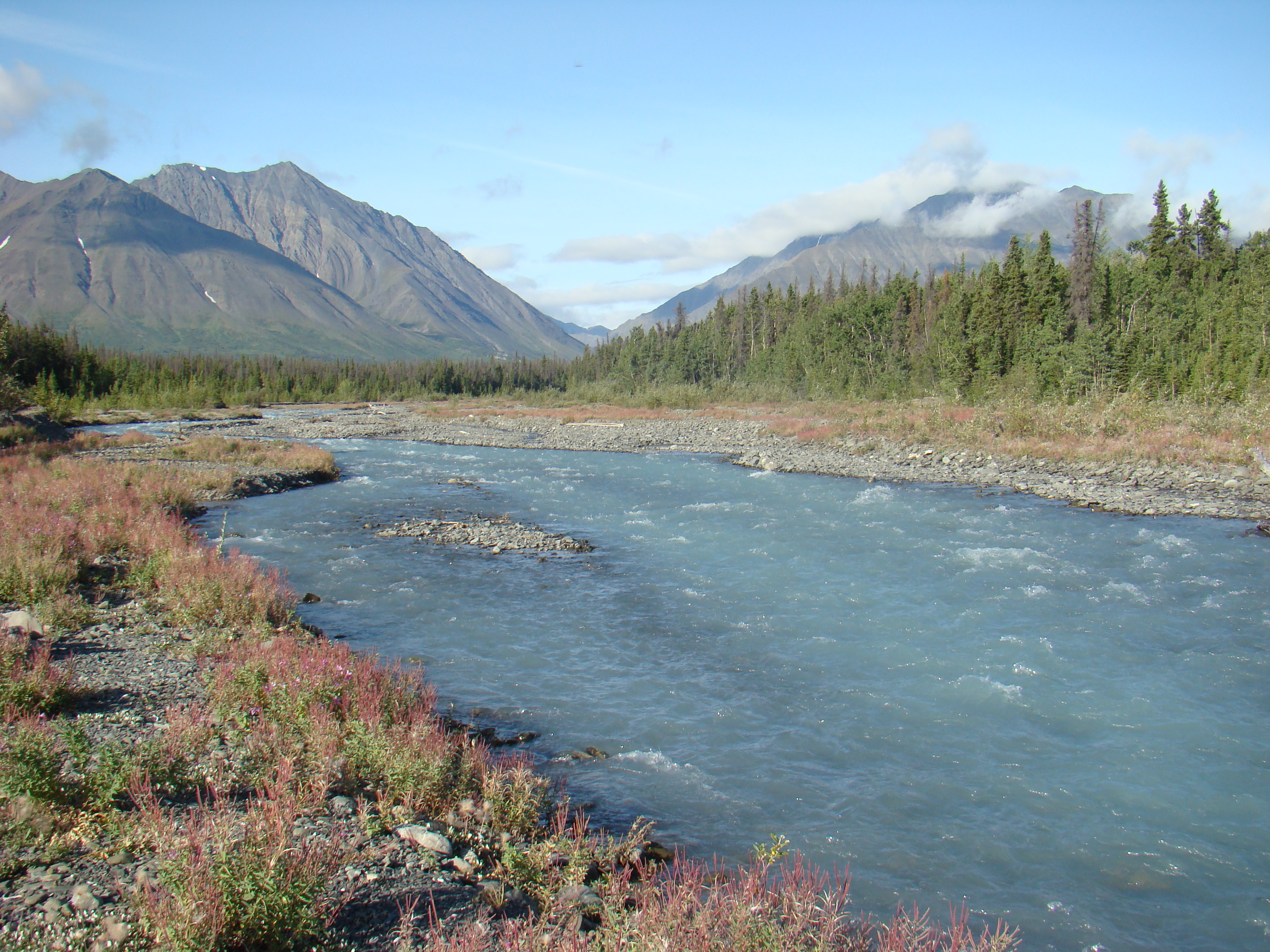
The Location
Burwash Landing sits on the shore of Kluane Lake, the Yukon's largest lake, along the Alaska Highway. The setting is spectacular - the lake stretches northwest toward glacier-covered mountains in Kluane National Park. The community, population around 100, serves highway travelers and tourists exploring Kluane. The Kluane Museum of History displays Indigenous artifacts, natural history specimens, and a wildlife diorama. Burwash Landing is traditional territory of the Kluane First Nation, whose people have lived in the region for thousands of years - far longer than the brief gold rush that the pan commemorates.
The Highway
The Alaska Highway was built during World War II to connect Alaska to the contiguous United States through Canada. It opened to civilian traffic in 1948 and has since become one of North America's iconic road trips. Burwash Landing is approximately 285 kilometers west of Whitehorse, roughly halfway between Whitehorse and the Alaska border. The highway along Kluane Lake offers some of the most dramatic mountain scenery in North America - St. Elias Mountains, massive glaciers, and Kluane Lake's blue-green waters. The World's Largest Gold Pan is one of many quirky stops along the route, part of the highway's culture of roadside attractions.
Visiting the World's Largest Gold Pan
The World's Largest Gold Pan is located in Burwash Landing, Yukon, at approximately kilometer 1759 of the Alaska Highway (counting from Dawson Creek, BC). The monument is free to view 24/7. The Kluane Museum of History is adjacent. Burwash Landing has a lodge with restaurant, a gas station, and limited services. Destruction Bay, 20 kilometers south, has additional services. Whitehorse is 285 kilometers east; the Alaska border is 145 kilometers west. The Alaska Highway is paved but remote - carry emergency supplies and fuel up when possible. The best viewing season is May through September; winter brings extreme cold and limited services. Kluane National Park is 20 kilometers south - allow time for hiking and glacier viewing.
From the Air
Located at 61.37°N, 139.00°W on Kluane Lake, Yukon. From altitude, Burwash Landing appears as a tiny settlement on the lake's eastern shore, along the Alaska Highway. Kluane Lake stretches northwest, Canada's largest lake within the Yukon. The St. Elias Mountains and Kluane Icefield are visible to the southwest - one of the largest non-polar ice masses in the world. The Alaska Highway is visible as a ribbon of road along the lake shore. Whitehorse is 285 kilometers east. The Alaska border is 145 kilometers west. The isolation and scale are apparent - vast wilderness, enormous mountains, and one of North America's longest highways threading through.