Wormsloe: Georgia's Oldest Plantation and the Oak-Lined Road That Guards Its Secrets
The oaks appear before anything else. Over four hundred southern live oaks, their branches laced with Spanish moss, arch over a mile and a half of unpaved road to create a tunnel so dense that sunlight enters only in scattered coins on the dirt below. Planted in the 1890s by the De Renne family, this avenue has become the most photographed entrance in the American South. But what waits at the end of the road is far older and stranger than the trees themselves -- the tabby ruins of a fortified house built in 1739 by a physician-carpenter from Lambeth, England, who helped James Oglethorpe plant the colony of Georgia and then spent forty years defending it from the Spanish, the wilderness, and the swamp.
A Carpenter Builds a Fortress
Noble Jones arrived in Savannah in 1733 aboard the same ship as James Oglethorpe, the colony's founder. A physician and carpenter from south London, Jones was made one of the settlement's lead officials before they even set sail. In 1736, he applied for a lease on land at the southeastern tip of the Isle of Hope, overlooking the Skidaway Narrows -- a strategic chokepoint on the Intracoastal Waterway, roughly halfway between downtown Savannah and the Atlantic Ocean. Between 1739 and 1745, Jones built a fortified house using tabby, a crude concrete made from burned oyster shells and lime. The fortress had high walls with bastions at each corner and five small rooms inside. Oglethorpe stationed a twelve-man marine garrison there and assigned Jones a scout boat to patrol the river. The name "Wormslow" likely came from Wormslow Hundred in Herefordshire, the Welsh border country where the Jones family originated -- though some historians have suggested it was a nod to Jones's failed silkworm experiments.
War, Revolution, and a Family Divided
Jones's fort was part of a chain of defensive works stretching from Frederica on Saint Simons Island to Savannah, all built against the threat of Spanish invasion. That threat became real in 1739 with the War of Jenkins' Ear. Jones fought in an English raid along Florida's St. Johns River in 1740 and helped defend Frederica at the Battle of Bloody Marsh in 1742. When peace came in 1748, the Spanish threat faded for good. But a new conflict split the Jones family. Noble Jones remained a loyal supporter of King George III until his death in 1775 -- just as the American Revolution ignited. His son, Noble Wimberly Jones, took the opposite side with equal conviction. Noble Wimberly led the Georgia Commons House in rejecting the Townshend Acts in 1768 and helped seize gunpowder from the provincial magazine in 1775. The elder Jones's will passed Wormsloe to his daughter Mary, bypassing his rebellious son entirely. Noble Wimberly did not inherit the plantation until Mary's death in 1795.
Cotton, Forced Labor, and the Richest Man in Savannah
Georgia's original charter banned slavery, but settlers lobbied relentlessly until the Trustees revoked the ban in 1749. Noble Jones had already been using rented enslaved laborers to build his fort and clear the land. After the ban lifted, he purchased enslaved people outright, and by the Civil War, more than 1,500 had labored on the property. George Jones, who inherited Wormsloe in 1804, served as a U.S. senator and transformed the plantation into a cotton operation powered by forced labor and steam engines. His estate was appraised at $123,000 -- including nine thousand acres and 137 enslaved people. He built eight slave cabins in a double row between the mansion and the old fort, each surrounded by a paling fence enclosing a kitchen garden and a few chickens. During the Civil War, the Jones-De Renne family fled to Europe. Confederate forces fortified the island; Union forces seized the plantation in 1864. George Wymberley Jones De Renne later received a presidential pardon and reclaimed the property. At his death, he was the richest man in Savannah, his estate valued at over $700,000.
What the Oaks Remember
The State of Georgia acquired the bulk of Wormsloe in 1973 after a court battle over taxes that reached the state supreme court. The site opened to the public in 1979. But the Barrow family -- direct descendants of Noble Jones -- retained a portion of the land, including the historic house, library, and family cemetery. Their agreement with the state carries a striking condition: the descendants must reside on the property as their primary home, or the land reverts to Georgia. Today the site preserves the tabby ruins, a museum, and replica colonial structures including a blacksmith's forge and a wattle-and-daub hut typical of Georgia's earliest English settlements. Evidence of human habitation on the Isle of Hope stretches back thirteen thousand years, with Paleo-Indian tools found in the surrounding land and the nearby Bilbo Mounds -- earthen structures dated to around 3545 BCE, among the oldest man-made structures in North America. The oaks, by comparison, are recent arrivals. But they have become the symbol of everything buried beneath them.
From the Air
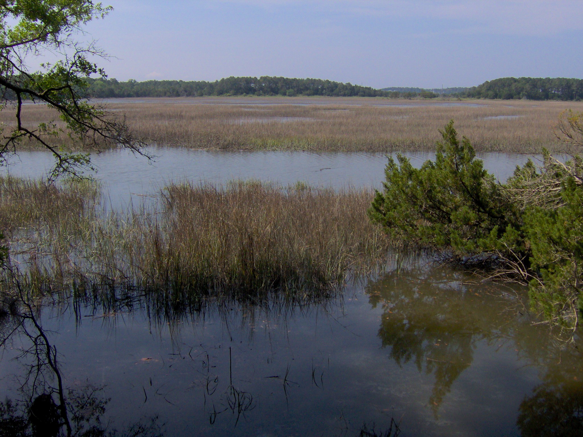
Located at 31.96N, 81.07W on the Isle of Hope, southeast of downtown Savannah. The oak-lined avenue runs roughly north-south and is visible from low altitude as a dark green corridor distinct from surrounding marsh and mixed forest. The Isle of Hope is a narrow peninsula bordered by the Skidaway River to the east and the Moon River to the west. Skidaway Island lies across the narrows. The nearest major airport is Savannah/Hilton Head International (KSAV), approximately 12 miles to the northwest. Hunter Army Airfield (KSVN) is about 7 miles to the north. Best viewed at 1,500-2,500 feet AGL approaching from the northwest over the Intracoastal Waterway. The tidal marshes and winding creeks surrounding the island are particularly striking from the air.