Ximending
The name is a riddle wrapped in colonial history. Ximending means "west gate quarter" in a hybrid of Chinese and Japanese administrative language, referring to a gate that no longer exists in walls that were torn down in 1905. The Japanese called it Seimon-cho, using their own municipal terminology on Taiwanese soil. Today, on any given weekend, the pedestrians who flood Taiwan's largest car-free zone have no idea they're walking through a linguistic fossil -- they're too busy shopping.
Where the Curtain Rose
In the 1930s, under Japanese rule, Ximending became Taipei's theater street. A single stretch of Wuchang Street Section 1 held more than ten cinemas, and the neighborhood hummed with the particular energy of a place where people come to be entertained. After Japan's defeat in 1945, that energy only intensified. The theaters multiplied, the crowds swelled, and for decades Ximending was where Taipei went for a night out. The Red House Theater, a distinctive octagonal building from the Japanese era, anchored the neighborhood's cultural identity. But cities shift their centers of gravity. By the 1990s, Taipei was growing eastward, and Ximending's theaters began to empty. The neon dimmed. Storefronts went dark.
Revival on Foot
The turnaround came in 1999, when the city government and local merchants agreed on an experiment: ban cars on weekends and holidays, and see what happens. What happened was three million shoppers a month. The pedestrian zone -- Taipei's first, and still Taiwan's largest -- turned the neighborhood's narrow streets into an open-air bazaar where youth culture, street food, and pop fashion collide. Cafes that have occupied the same storefronts since the 1950s sit beside bubble tea shops and sneaker boutiques. The area that once drew crowds with silver screens now draws them with the freedom to simply walk, browse, and linger without competing with traffic.
A Ghost Map of Names
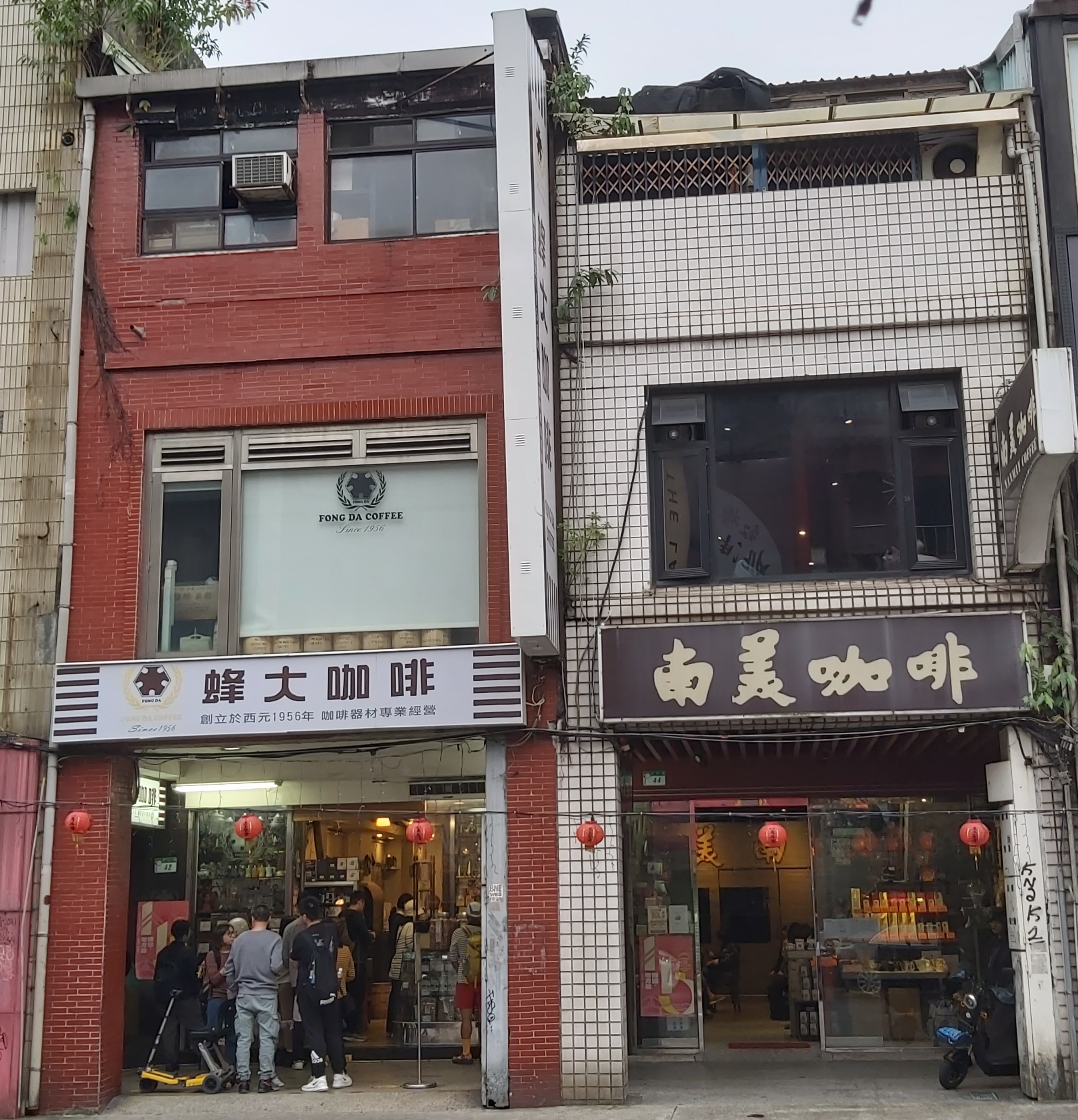
Ximending's geography is a palimpsest of occupations. The original pedestrian area covered Seimon-cho, but today it extends into what the Japanese called Wakatake-cho and Shinki-cho. The older romanization, Hsimenting, comes from the Wade-Giles system that Taiwan once used for Mandarin. The character "ding" itself is borrowed from Japanese -- it denotes a cho, a subdivision within a ward, a term with no natural Chinese equivalent. Even the namesake West Gate is gone, demolished along with Taipei's Qing-era city walls in 1905. And the Chunghwa Market, which once extended into the district, was pulled down in 1992. Layer by layer, the physical references behind the name have vanished, leaving only the name itself and the crowds that fill it.
The Wanhua Anchor
Ximending sits within the Wanhua District, one of the oldest parts of Taipei, a neighborhood whose roots reach back to the early trading settlements along the Tamsui River. Where Wanhua carries its age visibly -- in its temples, its traditional markets, its slightly worn edges -- Ximending is the youthful counterpoint. The contrast is sharpest on weekend evenings, when the pedestrian zone pulses with teenagers and tourists while the surrounding streets of Wanhua move at their own, slower rhythm. The two exist in the kind of symbiosis that only old cities produce: the ancient neighborhood lending depth to the flashy district, the flashy district keeping foot traffic flowing through the ancient one.
From the Air
Located at 25.04N, 121.51E in central Taipei's Wanhua District. From the air, the neighborhood is part of Taipei's dense urban core west of the Taipei Main Station area. The Tamsui River is visible to the west. Nearest major airport is Taipei Songshan Airport (RCSS), approximately 5 km to the east. Taiwan Taoyuan International Airport (RCTP) is about 30 km to the southwest. Best viewed at 3,000-5,000 feet in clear conditions.