Xochimilco
The name means "flower field" in Nahuatl, and on a Sunday afternoon it still earns it. Colorful flat-bottomed boats called trajineras drift through a labyrinth of canals, their arched canopies painted with women's names -- Maria, Guadalupe, Esperanza. Vendors in smaller boats sell corn on the cob, fresh flowers, and cold beer. Mariachi bands float alongside, playing for tips. This is Xochimilco, a borough in the south of Mexico City, and what looks like a festive tourist attraction is in fact one of the most ancient agricultural landscapes in the Americas.
Invented Islands
The chinampas -- the artificial islands that define Xochimilco -- are an agricultural technology that predates the Aztec empire. The Xochimilca people, one of the seven Nahua tribes who migrated into the Valley of Mexico, first settled the area around 900 BC. According to tradition, a leader named Acatonallo is credited with inventing the chinampa system: rectangular plots built up from the shallow lake bed using layers of aquatic vegetation, mud, and soil, anchored by ahuejote willow trees whose roots knit the edges together. The city of Xochimilco was founded in 919 and grew into a regional power, dominating settlements across the southern lake shore. The chinampas produced corn, beans, chili peppers, squash, and the flowers that gave the city its name. Remarkably, Xochimilco had a woman ruler during the pre-Hispanic period -- a rarity in Mesoamerica -- who is credited with introducing distinctive local dishes including necuatolli and chileatolli.
A World Heritage in Shallow Water
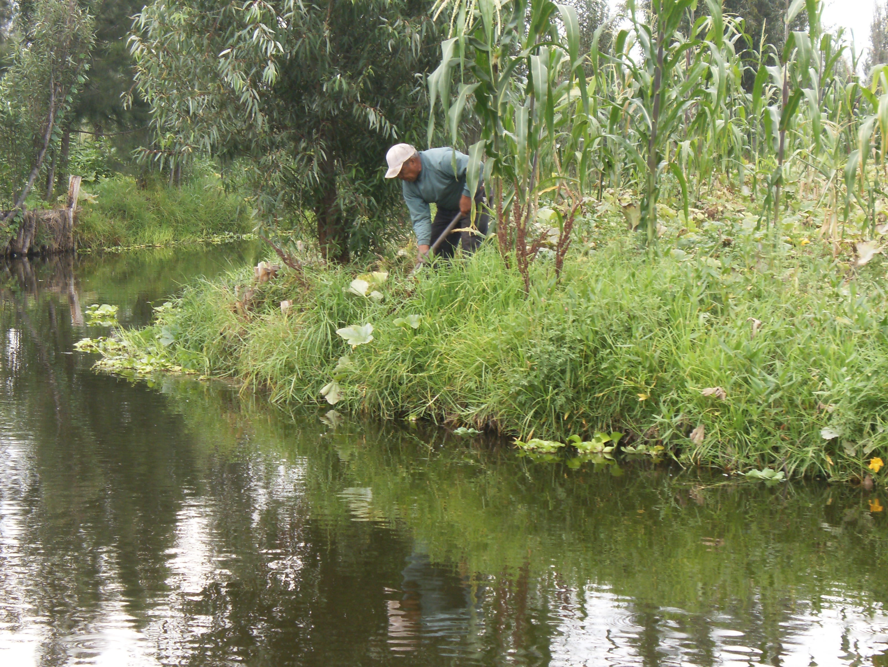
What remains of the canal system stretches across roughly 170 square kilometers, a fraction of the vast network that once connected most settlements in the Valley of Mexico. UNESCO designated these canals and chinampas a World Heritage Site in 1987, recognizing them as the last vestige of the pre-Columbian lake landscape that defined this valley for millennia. The ecosystem they support is remarkable. The ahuejote willows that line the banks stem erosion, break wind, and shelter aquatic species. The wetlands host approximately 40 percent of the migratory bird species that visit Mexico -- around 350 species in all, including pelicans, storks, and falcons arriving from as far as Canada. Some 700 species have been recorded in the area overall. The canals are also one of the last wild refuges of the axolotl, the critically endangered salamander native to these waters; surveys found populations of around 1,000 per square kilometer in 2003, declining to just 100 by 2008.
Pumped Dry
The destruction began in the 1950s. Groundwater pumping beneath Mexico City's center was causing severe subsidence, so the wells were closed and new ones drilled in Xochimilco and other southern boroughs. The extraction drained the water table, and canals that had flowed for centuries started going dry. The city now supplements them with treated wastewater, but this water carries bacteria and heavy metals, and untreated sewage still enters the system. Meanwhile, the population explosion that has driven Mexico City's sprawl southward has eaten into formerly rural land around the canals. Illegal settlements encroach on chinampa zones, and the ecological balance that sustained the system for a thousand years grows more precarious with each decade. Conservation efforts continue, but the tension between a megacity's thirst and a fragile pre-Columbian landscape shows no sign of resolving.
Sundays on the Water
Despite the ecological pressures, Xochimilco remains vibrantly alive as a social space. On weekends, families from across Mexico City crowd the embarcaderos -- the boarding docks -- to hire trajineras for hours-long floating parties. The boats navigate a network of canals lined with willows and chinampas still under cultivation, passing floating vendors selling food and musicians offering serenades. The borough retains an identity distinct from the rest of Mexico City, rooted in its centuries of physical separation from the urban core. Its 18 barrios and 14 surrounding pueblos maintain traditions, festivals, and a sense of community that feels more village than metropolis. The historic center was designated a Barrio Magico by the city in 2011, and throughout the year the borough hosts some 422 fiestas, the largest a year-long celebration honoring the Baby Jesus. Xochimilco hosted the canoeing and rowing events during the 1968 Summer Olympics, briefly placing its ancient waterways on a global stage.
From the Air
Located at 19.2476N, 99.0982W in the southeastern part of Mexico City. From the air, Xochimilco's canal system is strikingly visible -- a green-brown network of waterways and rectangular chinampa plots that contrasts sharply with the surrounding urban grid. The canal zone appears as a large irregularly shaped wetland area amid dense development. Nearest major airport is Mexico City International (MMMX/MEX), approximately 20 km northeast. The area sits at roughly 7,350 ft MSL on the floor of the Valley of Mexico. Best viewed at 3,000-5,000 ft AGL to appreciate the canal patterns.