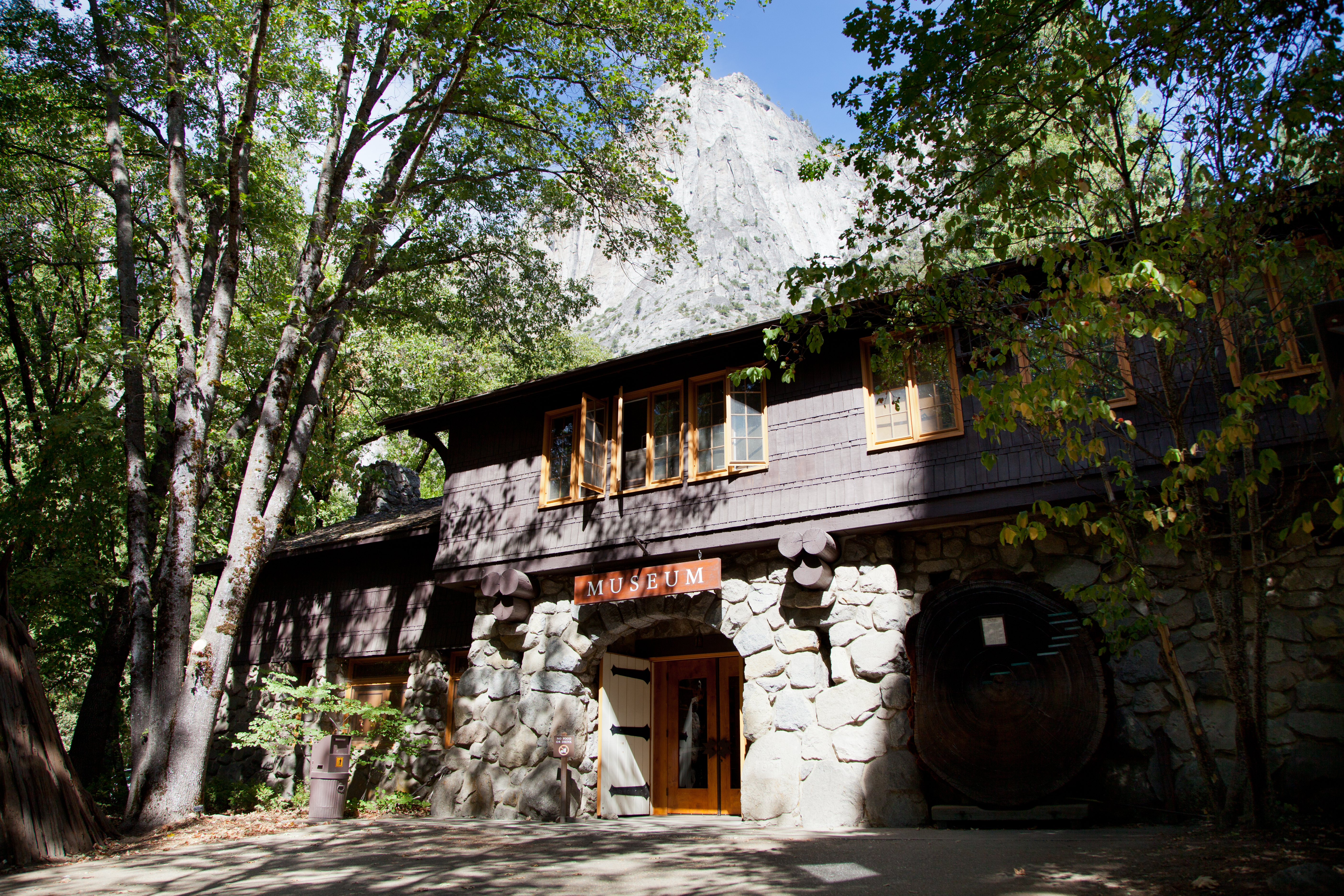
Yosemite National Park
In 1864, President Abraham Lincoln signed legislation unprecedented in American history: the federal government set aside a landscape not for settlement or resource extraction, but simply because it was beautiful. That landscape was Yosemite Valley. Today, nearly four million visitors annually come to marvel at what Lincoln's generation sought to protect: granite monoliths like El Capitan and Half Dome rising sheer from the valley floor, waterfalls plunging over 2,400 feet in three cascades, ancient sequoia groves where trees have lived for 2,000 years. The Sierra Nevada's glacial sculpting created something singular here - a valley seven miles long surrounded by vertical walls, where the Merced River meanders through meadows beneath peaks that seem to defy gravity. Yosemite became America's third national park in 1890, and the conservation movement that John Muir championed here would reshape how humanity relates to wild places worldwide.
Cathedral of Stone
Yosemite Valley owes its drama to geology operating on vast timescales. Roughly 10 million years ago, the Sierra Nevada began rising along a massive fault, tilting westward and accelerating erosion. Glaciers advanced through the valley at least four times over the past million years, carving the U-shaped profile and polishing the granite to gleaming smoothness. The results are landmarks that have entered global consciousness: El Capitan, a 3,000-foot vertical wall that draws rock climbers from every continent; Half Dome, appearing as if a giant cleaved a mountain in two; Cathedral Rocks and the Three Brothers, sentinel formations guarding the valley entrance. The granite itself formed 100 million years ago when magma solidified deep underground; only the slow work of uplift and erosion revealed these buried monuments to the surface.
Waters Falling
Yosemite's waterfalls concentrate the most dramatic examples of falling water in North America. Yosemite Falls, at 2,425 feet, ranks among the world's tallest, cascading in three stages from the valley's north rim. Bridalveil Fall, visible immediately upon entering the valley through the Wawona Tunnel, drops 620 feet in a single plunge, often blown sideways by wind into the mist that gives it its name. The Mist Trail climbs 600 feet alongside Vernal Fall and Nevada Fall, soaking hikers in spray during spring runoff. The catch: Yosemite's falls are seasonal. Fed by Sierra snowmelt rather than permanent rivers, they thunder through spring, diminish by midsummer, and may run dry by autumn. Visitors seeking the full spectacle should time their visits for April through June, when snowpack releases its stored water in torrents.
Giant Sequoias
Three groves of giant sequoias grow within Yosemite's boundaries, the largest and most visited being Mariposa Grove near the park's southern entrance. These trees - the largest living organisms by volume on Earth - have survived for up to 2,000 years through bark up to 3 feet thick that resists fire and disease. The Grizzly Giant, approximately 1,800 years old, was already ancient when Rome fell. The California Tunnel Tree, cut through in 1895 to allow carriages to pass, still lives; its predecessor, the Wawona Tunnel Tree, fell in 1969 under the weight of snow accumulating on a crown weakened by the tunnel. The sequoias grow only on the Sierra Nevada's western slope between 5,000 and 7,000 feet elevation - a narrow band that makes their existence seem almost accidental, as if these giants occupy a sliver of planet uniquely suited to their improbable survival.
High Country
Beyond the famous valley, Yosemite encompasses 1,200 square miles of Sierra wilderness, 95 percent of it designated as federal wilderness where no vehicles may travel. The Tioga Road, open roughly May through November, crosses the park at elevations exceeding 9,000 feet, providing access to Tuolumne Meadows - one of the largest subalpine meadows in the Sierra, carpeted with wildflowers during its brief summer. Here the landscape shifts from the valley's vertical drama to rolling granite domes, alpine lakes, and peaks reaching above 13,000 feet. The High Sierra Trail and segments of the Pacific Crest Trail and John Muir Trail pass through, offering backpackers multi-day routes through terrain largely unchanged since Muir walked it. At Tioga Pass, the park's eastern boundary, endangered Sierra Nevada bighorn sheep occasionally appear on the rocky slopes.
The Yosemite Experience
Yosemite's fame creates challenges. Summer weekends bring traffic jams and parking shortages; the iconic valley, just seven square miles, absorbs the bulk of four million annual visitors. Reservation systems now manage peak-season vehicle access. Yet solutions exist: free shuttles circulate through the valley, YARTS buses connect from gateway communities, and the vast high country remains comparatively empty. Spring rewards visitors with peak waterfalls and emerging greenery; fall offers thinner crowds and golden light on the granite; winter transforms the valley into a snow-dusted cathedral, with Badger Pass providing California's oldest ski area. The park requires entrance fees ($35 per vehicle, valid seven days) and summer reservations. Those who plan ahead - booking lodging at the historic Ahwahnee or pitching tents in one of the campgrounds - find that Yosemite still delivers the transcendence that inspired Lincoln and Muir to fight for its preservation.
From the Air
Located at 37.85°N, 119.54°W in California's Sierra Nevada mountains. The park encompasses 1,187 square miles of mountainous terrain. From cruising altitude, Yosemite Valley appears as a narrow, flat-floored canyon surrounded by granite cliffs; the curved face of Half Dome (8,842 ft) is distinctive. The Tuolumne River drainage to the north includes the flooded Hetch Hetchy Valley. Fresno Yosemite International Airport (FAT) lies 65 miles south; San Francisco International (SFO) and Oakland (OAK) are approximately 170 miles west. The Tioga Road crossing the park is visible as a thin line over high granite terrain.