Yuma Crossing
Two granite outcroppings narrow the Colorado River at Yuma to its most fordable width for roughly a thousand miles in either direction. Everything that needed to cross the lower Colorado — and for centuries, almost everything that moved between the East and California needed to cross it somewhere — crossed here. The geography was not subtle about its significance: there was this crossing, and there was everything else, which was much harder.
A Thousand Miles of River
The Colorado River runs more than 1,400 miles from its headwaters in the Rocky Mountains to the Gulf of California, and for most of that length, in the era before bridges, it was an obstacle. The river was wide, fast, unpredictable in flood, and lined with canyon walls or desert flats that offered no obvious crossing point.
The two granite outcroppings at Yuma changed the calculation. They constricted the river to a manageable width at a point where the banks were accessible — not canyon walls, not impassable terrain, but ground you could drive livestock down to and wade or ferry across. Spanish explorer Hernando de Alarcón reached this crossing in 1540, the first European record of the place. For the Quechan people who had lived here for centuries before Alarcón arrived, the crossing was simply home — the confluence of the Colorado and the Gila, the center of their world, the strategic asset that made them the indispensable intermediaries for anyone traveling between east and west.
Anza and the Overland Route
Juan Bautista de Anza led two expeditions through the Yuma Crossing: the first in 1774, reconnoitering the overland route to California; the second in 1775-76, leading more than two hundred colonists from Sonora to establish the settlement that would become San Francisco. Both expeditions crossed the Colorado here, with Quechan assistance.
The route Anza pioneered — the Sonora Road or Anza Trail — became the basis for Spain's overland supply line to California. To secure it, Spain established two missions in Quechan territory in October 1780. The missions lasted nine months. The Quechan uprising of July 1781 — provoked by Spanish colonists seizing Quechan lands and consuming their crops — destroyed the missions and killed four priests and more than one hundred soldiers and settlers. Spain never reestablished the missions, and the overland route was effectively closed to Spanish colonial traffic for the remainder of the colonial period.
The Gold Rush and the American Period
After the Mexican-American War transferred the Southwest to the United States, the Yuma Crossing became critical again. The discovery of gold in California in 1848 set off a migration that made the southern overland route — through the desert Southwest, across the Colorado at Yuma — one of the primary paths to the gold fields for travelers from the South and East.
The United States Army established Fort Yuma in 1848 on the California side of the crossing, recognizing the strategic necessity of controlling the ford. The Gold Rush traffic was massive and chaotic: ferry operators charged what the market would bear, crossing could be dangerous, and the surrounding desert was unforgiving to those who miscalculated their supplies or timing. Louis Jaeger's ferry, established in 1851, was one of the primary operations serving this traffic, and the settlement that grew around it — Jaeger City — was for a time the largest community in the area.
The Butterfield Overland Mail incorporated the Yuma Crossing into its transcontinental route after 1858. The transcontinental railroad followed in the 1870s. Each successive technology of movement used the same geographic point that the Quechan had always known.
A Heritage Area and a Restoration
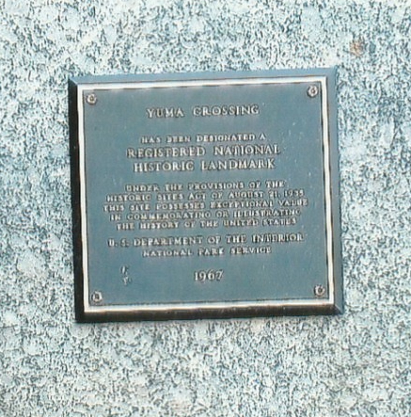
The Yuma Crossing was designated a National Historic Landmark in 1966 and became the Yuma Crossing National Heritage Area in 2000, recognizing the accumulated historical weight of a single geographic point. The heritage area encompasses the crossing itself, Fort Yuma and its remains, the sites of the 1780 missions, and the broader landscape of the Colorado-Gila confluence.
In 2006, a wetland restoration project planted twenty thousand trees along the riverbanks near the crossing — an attempt to recover some of the riparian habitat that had been lost when the river was dammed and its floods contained. The restoration created a green corridor along a stretch of river that had been agricultural and industrial land for generations.
The granite outcroppings that made the crossing are still there, still narrowing the river, still marking the place where the geography of the American Southwest funneled its traffic for centuries. The crossing is now served by highway bridges and the pedestrian span of the historic Ocean-to-Ocean Bridge, but the reason for all of them is the same two rocks.
From the Air
Located at approximately 32.73°N, 114.62°W at the confluence of the Colorado and Gila Rivers, where the Arizona-California border meets. The crossing point is visible from low altitude where the river narrows between the two riverbanks. The historic Ocean-to-Ocean Bridge, the Interstate 8 bridge, and the Fort Yuma area are all identifiable from the air. Nearest airport: Yuma International Airport (KNYL), approximately 4 miles to the south.