Zagros Mountains
Wild wheat still grows in the foothills of the Zagros. So do wild barley, wild lentils, wild almonds, wild pistachios, and wild grapes. Walk through these mountains in spring and you are walking through the original grocery store -- the place where, around 9000 BC, humans first figured out that they could plant seeds on purpose and stop wandering. The Zagros Mountains run 1,600 kilometers from southeastern Turkey through western Iran to the shores of the Persian Gulf, and their story is inseparable from the story of civilization itself. The oldest evidence of wine production anywhere on Earth was found here, in clay jars dating between 5400 and 3500 BC. The cities of Susa and Anshan grew from settlements in these valleys. This is where it all started.
Two Continents Colliding in Slow Motion
The Zagros exist because Arabia is crashing into Eurasia. The collision began roughly 25 million years ago during the Miocene epoch and has not stopped. GPS measurements show the southeastern Zagros shortening by about 10 millimeters per year, dropping to 5 millimeters in the northwest. These mountains are still growing. The collision folded hundreds of millions of years of sedimentary rock -- limestone, mudstone, siltstone -- into parallel ridges that from the air look like the wrinkled spine of some enormous sleeping animal. Erosion has stripped away the softer rocks, leaving harder limestone and dolomite standing in long linear ridges. Beneath these folds, trapped by impermeable salt domes, lie some of the world's largest petroleum reserves. Iran's main oilfields sit in the western central foothills. Salt glaciers -- rivers of rock salt flowing under their own weight -- are a feature found almost nowhere else on this scale.
The Cradle Before the Cradle
Mesopotamia gets the credit as the cradle of civilization, but the Zagros foothills were the nursery. Middle Paleolithic sites cluster throughout the range, with Mousterian stone tools in cave after cave. Upper Paleolithic and Epipaleolithic peoples left their mark at Yafteh Cave, Kaldar Cave near Khorramabad, and Warwasi near Kermanshah. A human bone fragment from Wezmeh Cave, dated to the Neolithic period, revealed a genetic lineage unknown to science -- a man most closely related to modern Iranian Zoroastrians. He had brown eyes, dark skin, and black hair, and his DNA suggests the Zagros may have been a source of ancestry for populations across Central and South Asia. By 9000 BC, the foothills supported early agriculture. Settlements at Hajji Firuz Tepe and Godin Tepe yielded evidence of wine storage from as early as 5400 BC. Jarmo, one of the world's oldest known agricultural communities, sits in this landscape. The ancient peoples who lived here -- Hurrians, Guti, Kassites, Elamites -- periodically descended from the mountains to raid the Sumerian and Akkadian cities of the Mesopotamian plain below.
Peoples of the High Passes
The mountains remain a mosaic of cultures. Lurs inhabit the central, western, and southern ranges, speaking their own Iranic language across provinces from Lorestan to Kohgiluyeh. The Bakhtiari, a Lur subgroup, still practice nomadic pastoralism, moving herds between summer pastures on the eastern slopes and winter grazing on the western side -- a seasonal migration called yeylagh and gheshlagh that has continued for thousands of years. Kurds are the indigenous inhabitants of the northwestern Zagros, where the range merges with the Taurus system across southeastern Turkey, northern Iraq, and northwestern Iran. The high passes and deep valleys have long served as natural fortifications. Qashqai people, a tribal confederation of Turkic origin, concentrate in the southern ranges around Shiraz. Assyrian and Chaldean Christian communities endure in smaller numbers. Major cities -- Sulaymaniyah, Kermanshah, Khorramabad, Shiraz -- sit on the foothills where mountain meets plain.
Oak Forests, Vanishing Newts, and a Lost Lion
Despite centuries of overgrazing and deforestation, the Zagros harbor remarkable biodiversity. Oak woodlands dominated by Quercus brantii once carpeted more than half the forested area. Park-like pistachio and almond steppelands survive in fragments. The Persian fallow deer, once believed extinct, was rediscovered in the late 20th century in Khuzestan Province in the southern Zagros. Wild goats range across nearly the entire chain. But the losses are real. Asiatic lions inhabited the southwestern mountains as recently as the mid-20th century -- the last confirmed sighting in Iran was in 1944; they are gone now. The Luristan newt, a striking salamander endemic to a small section of the central Zagros, is vulnerable to extinction from poaching for the pet trade and habitat destruction. The Zagros Mountains mouse-like hamster survives in shrinking pockets. Climate change threatens to reshape the range's ecosystems further, drying the semi-arid forest steppe that defines the mid-altitude landscape.
Gateway to the Underworld
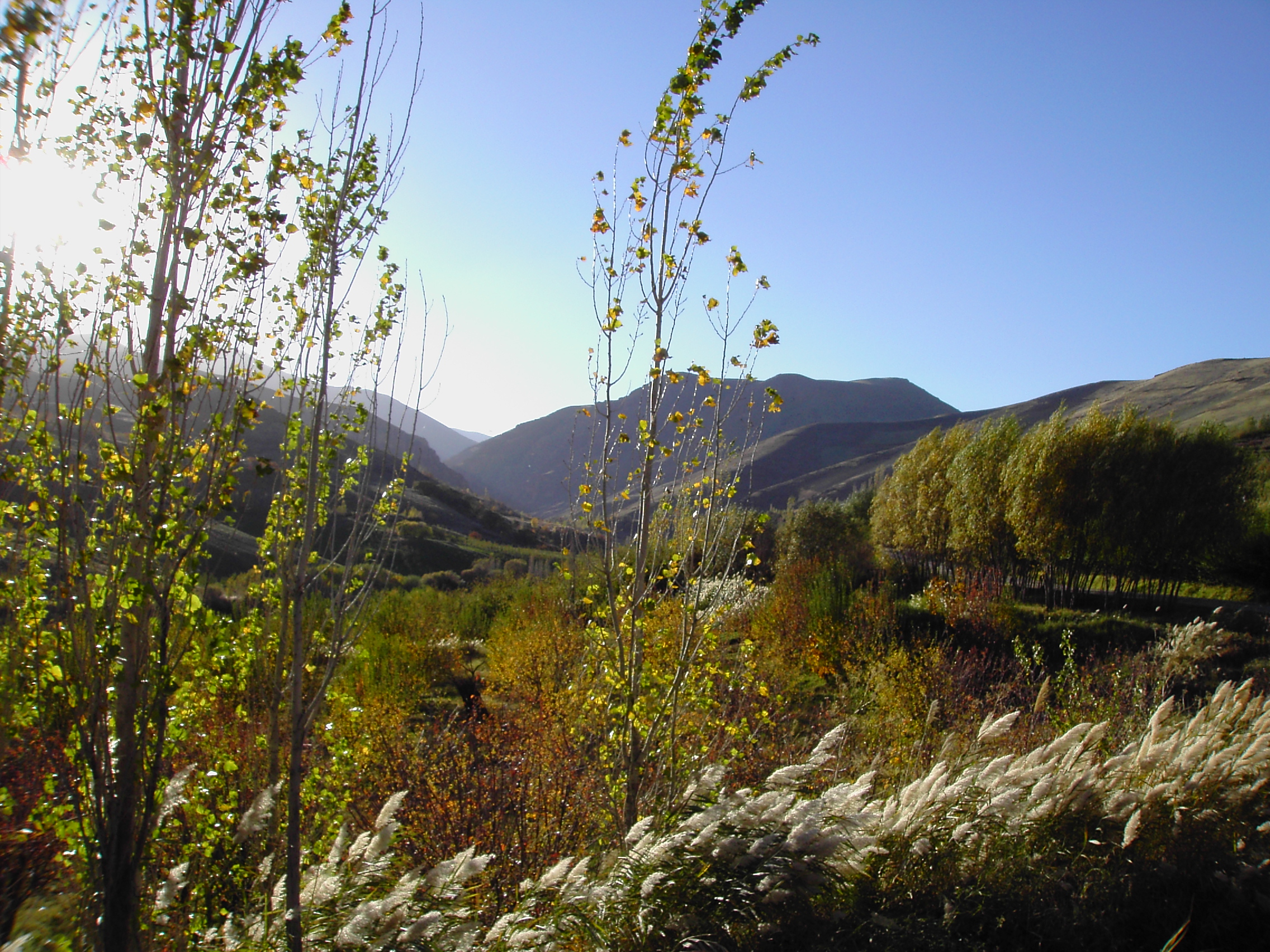
Ancient Mesopotamians believed the entrance to the underworld lay in the Zagros, at the far eastern edge of their known world. A staircase descended to gates set deeper than the Abzu, the freshwater ocean they imagined beneath the earth. The mountains have served as a spiritual boundary ever since. Mesopotamian and Hurrian religions gave way to Zoroastrianism, which found a natural home in these fire-lit highland valleys. Syriac Christianity took root among Assyrian communities. Today the vast majority of the population is Muslim, both Iranic and Turkic, with small Christian communities persisting. From the air, the Zagros present one of the most visually dramatic mountain ranges on Earth: fold after fold of sedimentary ridges running in parallel lines toward the Persian Gulf, the geological collision made visible in a pattern that stretches to the horizon.
From the Air
Centered approximately at 33.67°N, 47.00°E, the Zagros Mountains extend 1,600 km from southeastern Turkey to the Strait of Hormuz. The parallel fold ridges create a distinctive corrugated pattern visible from high altitude. Mount Dena (4,409 m / 14,465 ft) is the highest peak -- maintain safe altitude in this terrain. Nearest major airports include Isfahan International (OIFM), Kermanshah (OICC), and Shiraz (OISS). Mountain weather can be severe in winter with heavy snow and poor visibility. The semi-arid climate produces clear conditions in summer and autumn. Best viewed from FL250+ to appreciate the scale of the fold-and-thrust belt geology.