Zeballos, British Columbia
Between 1938 and 1943, thirteen million dollars in gold bricks shipped out of a remote inlet on Vancouver Island's northwest coast. The town that shipped them, Zeballos, swelled to an estimated 5,000 people, most of them miners chasing veins of gold through the mountains above the Zeballos River delta. Today, 126 people live here. The gold is gone. The iron mine that replaced it lasted five years. The timber industry that followed still employs some residents, but the real draw now is the autumn spectacle of bears and eagles gathered along the river as spawning salmon fight their way upstream.
A Lieutenant's Name, a Prospector's Dream
The inlet that shelters Zeballos was named for Lieutenant Ciriaco Ceballos, a crew member aboard one of the ships in Alessandro Malaspina's expedition, which charted the Pacific coast between 1789 and 1794. For more than a century after the Spanish departed, the location remained obscure, known mainly to the Ehattesaht Chinehkint First Nation, on whose traditional territory the village sits. That changed in the 1930s when gold was discovered in the surrounding mountains. A mining camp sprang up on the river delta, and the name Zeballos, an anglicized version of Ceballos, stuck. The post office made it official in 1946, and the village was incorporated as a municipality in 1952, long after the rush that created it had already faded.
Boom, War, and Bust
At the peak of mining activity, Zeballos may have held over 5,000 residents. The town's deep-sea port, surrounded by rugged mountains and old-growth forest, hummed with the business of extracting and shipping gold. Then World War II pulled workers into the Canadian Army, and the mines began losing their labor force. After the war, operators tried to restart production, but the fixed gold price of $35.00 per ounce made the economics impossible. Within twenty years of the war's end, every mine had closed for good. Logging stepped in during the 1950s, and an iron mine opened in 1964, but that operation shut down after just five years. Zeballos had become a town accustomed to reinvention, each new industry arriving with optimism and departing with a quieter finality than the last.
The Good Friday Wave
On March 27, 1964, the same year the iron mine opened, the Good Friday earthquake struck Alaska. The magnitude 9.2 quake, one of the most powerful ever recorded, sent a tsunami racing down the Pacific coast. When the wave reached Zeballos Inlet, the narrow channel amplified its force. Charles Ford, a young seaplane pilot living in the village, witnessed the destruction firsthand. The tsunami damaged the waterfront and reminded residents of how exposed this small community was to forces far beyond its control. Rebuilding was modest and practical, the kind of quiet recovery that happens in places where fewer than 250 people share the work.
A Village Between Two Sounds
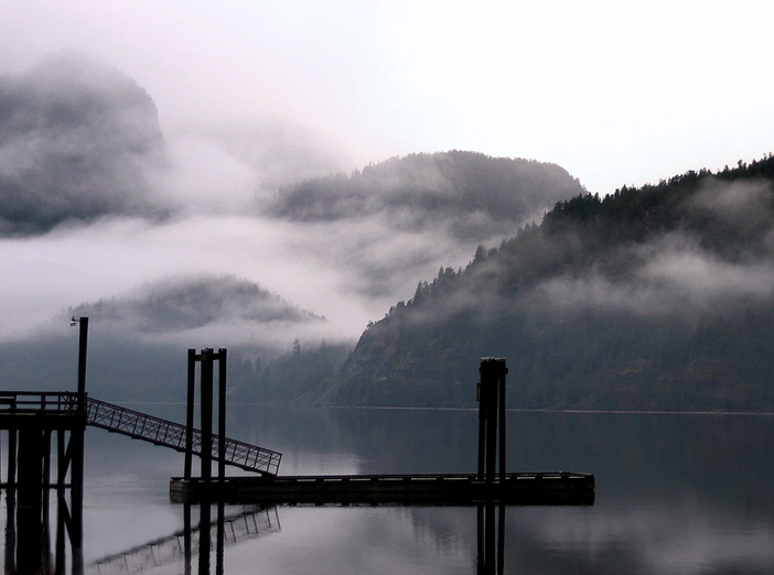
Zeballos sits on the Zeballos River delta at the end of Zeballos Inlet, within reach of both Nootka Sound to the south and Kyuquot Sound to the north. This position has made it a natural jump-off point for anglers heading to some of Vancouver Island's most productive fishing waters. Ecotourism, commercial fishing, and oyster farming have joined the timber industry as economic pillars, though none has restored the population to anything close to its gold-rush peak. Fair Harbour lies 35 kilometers away by unpaved road, and Brooks Peninsula Provincial Park is accessible from the area. In autumn, the Zeballos River puts on the display that no brochure can fully capture: black bears wading in the shallows, bald eagles perched in the spruce overhead, and thousands of salmon pushing upstream through water so clear you can count the stones on the riverbed.
From the Air
Zeballos is located at 49.98N, -126.85W on Vancouver Island's northwest coast, at the head of Zeballos Inlet. From the air, the village appears as a small settlement on a river delta surrounded by steep, forested mountains at the terminus of a long, narrow inlet. The Zeballos River is visible winding through the valley. Access is via Highway 19 and a spur road from the Island Highway. The nearest major airport is Campbell River Airport (CYBL) approximately 130 km to the southeast. Float plane access is possible on the inlet. Expect west-coast maritime weather with frequent cloud and rain. The inlet's narrow walls can create turbulence and downdrafts in strong winds.