Zeewolde
On 23 February 1984, a man named on the village's planning records as the first official inhabitant was handed the keys to his house. The ground he stood on had been seabed within his own lifetime. Zeewolde is one of the youngest municipalities in the Netherlands, a town raised from nothing on the floor of what used to be the Zuiderzee. There are no medieval churches here, no winding cobbled lanes worn down by centuries of feet. The oldest building is barely older than middle age. The newest country in the country, you could call it - and you would not be far off.
From Seabed to Streets
Look at a map of the Netherlands from a hundred years ago and Zeewolde isn't there. There is only water - the Zuiderzee, a brackish inland sea that Dutch engineers spent the 20th century methodically draining and replacing. The Afsluitdijk closed off the bay in 1932, the dikes around Southern Flevoland went up in the 1960s, and by 1968 the polder was dry. For a decade the new land sat empty: rectangles of black soil, drainage ditches in straight lines, agricultural test plots run by the Rijksdienst voor de IJsselmeerpolders. Then, in 1979, the first settlers arrived. They were called pioneers, and the word was earned. The first families moved in without electricity or piped water, farming the new earth while the planned village that was supposed to support them existed only on drawings.
Designing a Town from Nothing
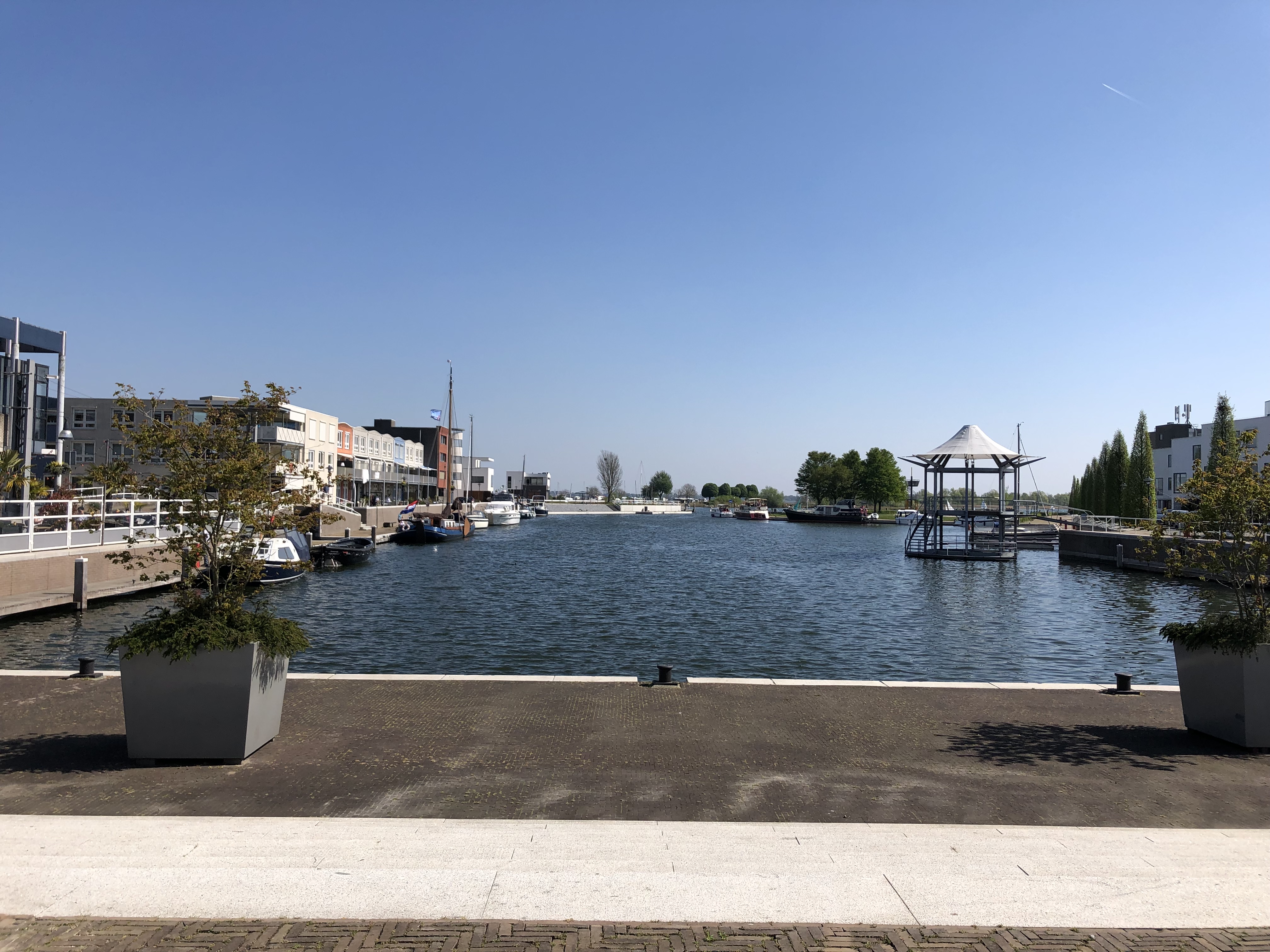
In August 1980, the Zeewolde advisory board met for the first time, chaired by Han Lammers, who ran the polder authority and would become the dominant political figure of Flevoland. By February 1982 the first municipal elections had been held, and planners drew up a structural plan envisioning a community of 15,000 residents. The actual village - houses, streets, sewer lines - began going up in 1983. Within a year it was an independent municipality. Forty years on, Zeewolde holds around 24,000 people, the streets and parks laid out almost exactly as the planners drew them, the kind of rational geometry that only a town designed all at once can have. Every aspect of how the place looks was a choice on a drafting table: the orientation of the harbor, the curve of the residential blocks, the placement of the school, the line of trees along the canal.
Sea Level, Below Sea Level
In 1996, the American sculptor Richard Serra came to Zeewolde and built what remains his largest work in Europe. Sea Level sits in De Wetering landscape park: two parallel concrete walls, each two hundred metres long, running diagonally on either side of a canal. At the park's lowest point - several metres below the surrounding water of the Wolderwijd and Nuldernauw lakes - the walls rise highest. At their outer ends, they sink back into the grass and vanish. The piece does exactly what its name says. It marks where the sea used to be. Without the dikes that hold back the Wolderwijd a few hundred metres away, water would reach the top of those walls and Zeewolde would be underwater again. Serra wasn't decorating the landscape. He was drawing a horizontal line through it that says: this is the level the sea wants to find.
What the Polder Remembers
The land here has surprises buried in it. In August 2024, divers and archaeologists reported that they may have located the remnants of Hulkenstein Castle on the bottom of a lake near Zeewolde - a medieval fortress lost when the surrounding land flooded centuries before the modern polder was even imagined. The discovery is a useful reminder that this seabed wasn't always seabed. People farmed here in the Middle Ages, were drowned out by storm surges, and then, eight hundred years later, their descendants pumped the water away and started over. To the east of town sits the Wolderwijd, a long narrow lake that is in fact the surviving sliver of Zuiderzee deliberately left wet to handle drainage. To the south stretches the Horsterwold, a deciduous forest planted on the new land - one of the largest deciduous forests in northwestern Europe, all of it less than fifty years old. Nothing here is older than living memory, except the land beneath the lake, which is older than anyone can quite say.
From the Air
Zeewolde sits at 52.3333 N, 5.5167 E in southern Flevoland, on the north shore of the Wolderwijd. From the air the town is unmistakable: rectilinear residential blocks, a small marina jutting into the lake, and the unnaturally straight lines of polder agriculture stretching to the horizon in every direction. The dead-flat geometry - canals at right angles, fields in identical parallelograms - is the visual signature of reclaimed seabed. Recommended viewing altitude is 2,000 to 3,500 feet AGL. Lelystad Airport (EHLE) is the nearest field at about 10 nautical miles northeast; Hilversum (EHHV) is roughly 18 nautical miles southwest, and Schiphol (EHAM) sits 28 nautical miles to the west. Watch for the Lelystad CTR and the busy Schiphol TMA - check NOTAMs and the Dutch VFR guide before transiting. Note that the Flevoland medium-wave radio masts that long marked this area were demolished in 2019. Best light is late afternoon, when the low sun rakes across the polder and makes the geometry pop.