Zuiderzee Works
In 1667, Hendrik Stevin published a study titled "How the Fury of the North Sea may be stopped and Holland may be protected against it." His proposal to drain the Zuiderzee was dismissed as fantasy. Two and a half centuries later, the Dutch did exactly that. The Zuiderzee Works - a system of dams, dikes, and reclaimed polders - transformed a dangerous saltwater inlet into farmland and freshwater lake, creating an entire province where the sea once stood. The American Society of Civil Engineers named it one of the Seven Wonders of the Modern World.
Land Below the Sea
Half of the Netherlands lies below sea level or within a meter of it. Between 1200 and 1900, the Dutch reclaimed vast tracts from the sea and drained lakes, but they also lost substantial territory to the Zuiderzee - a shallow, storm-prone inlet that repeatedly flooded coastal communities. After the IJ and Haarlemmermeer were successfully drained in the mid-19th century, engineers proposed tackling the Zuiderzee itself. Test drilling by the Zuider Zee Society found that about three-quarters of the seabed would make useful agricultural land. Engineer Cornelis Lely emerged as the project's champion, developing the plan that would eventually be executed.
The Vision of Cornelis Lely
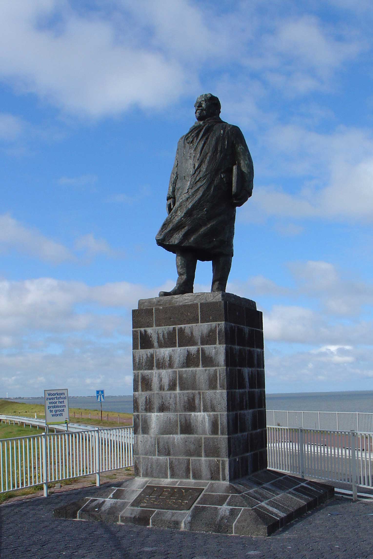
In 1891, Lely introduced his plan: a massive dam connecting North Holland's northern tip to the western coast of Friesland, with four large polders carved from the enclosed waters. Queen Wilhelmina urged reclamation in her 1913 speech from the throne, and legislation followed. The goals were threefold: protect central Netherlands from the North Sea, increase food production through new agricultural land, and improve water management by converting an uncontrolled saltwater inlet into a managed freshwater lake. The Zuiderzee Works Department was established in May 1919. Lely's legacy is honored in Lelystad, the city named for him.
The Dam That Divided a Sea
The 32-kilometer Afsluitdijk, completed in 1932, became the spine of the entire project. Workers dredged heavy clay from the open sea and deposited it along the dam's path. The closure transformed the Zuiderzee overnight: waters south of the dam became the IJsselmeer (IJssel Lake); those to the north joined the Wadden Sea. Fishermen who had worked these waters for generations lost their livelihood as herring and anchovy gave way to freshwater species. The project required a joint venture of major dredging contractors, the Maatschappij tot Uitvoering van Zuiderzeewerken, to execute work of unprecedented scale.
A Province from the Waves
The reclaimed polders eventually formed Flevoland, the Netherlands' 12th and newest province, inaugurated on January 1, 1986. The Wieringermeer in the north went to North Holland, but the Noordoostpolder and Southern Flevoland municipalities united into a province that now exceeds Zeeland in population. By 2015, Flevoland had 403,380 residents - more than Zeeland's 380,620 - with a density of 280 people per square kilometer. What was open sea within living memory now supports cities, farms, and a new population living on land their grandparents could have sailed across.
Engineering and Resistance
Not everyone celebrated the transformation. In 1971, German artist Joseph Beuys created the performance piece "Bog Action" to protest the draining and exploitation of peatland, immersing himself in the water as artistic critique. Today, new islands like the Marker Wadden, inaugurated in 2016, are being created as nature reserves in the Markermeer - the opposite impulse from the original agricultural reclamation. The Zuiderzee Works and its companion Delta Works in the southwest together represent the Dutch mastery of water that has defined the nation's history. From the air, the ruler-straight polders and the unnatural precision of Flevoland's coastline testify to one of humanity's most dramatic reshapings of geography.
From the Air
The Zuiderzee Works are visible from high altitude as a dramatic transformation of the Dutch landscape. The 32 km Afsluitdijk is clearly visible as a straight line separating the IJsselmeer (south) from the Wadden Sea (north). Coordinates approximately 52.821N, 5.269E for the central IJsselmeer area. The geometric polders of Flevoland contrast sharply with older, irregular land patterns. Nearest airports: Amsterdam Schiphol (EHAM) 50 km southwest, Lelystad (EHLE) within the reclaimed area itself. Best viewed from 10,000+ feet where the scale of land reclamation becomes apparent.