
Accomack County, Virginia
Two thirds of Accomack County is water. The county covers 1,310 square miles in all, but only 450 square miles is land; the other 861 square miles is the Chesapeake Bay and the Atlantic and the shallow bays between the mainland and the barrier islands. This makes Accomack, somehow, the largest county in Virginia by total area while being one of its least populated, with about 33,400 people scattered across fourteen incorporated towns — the most of any county in the Commonwealth, twice the number of any other.
Accawmack Becomes Accomack
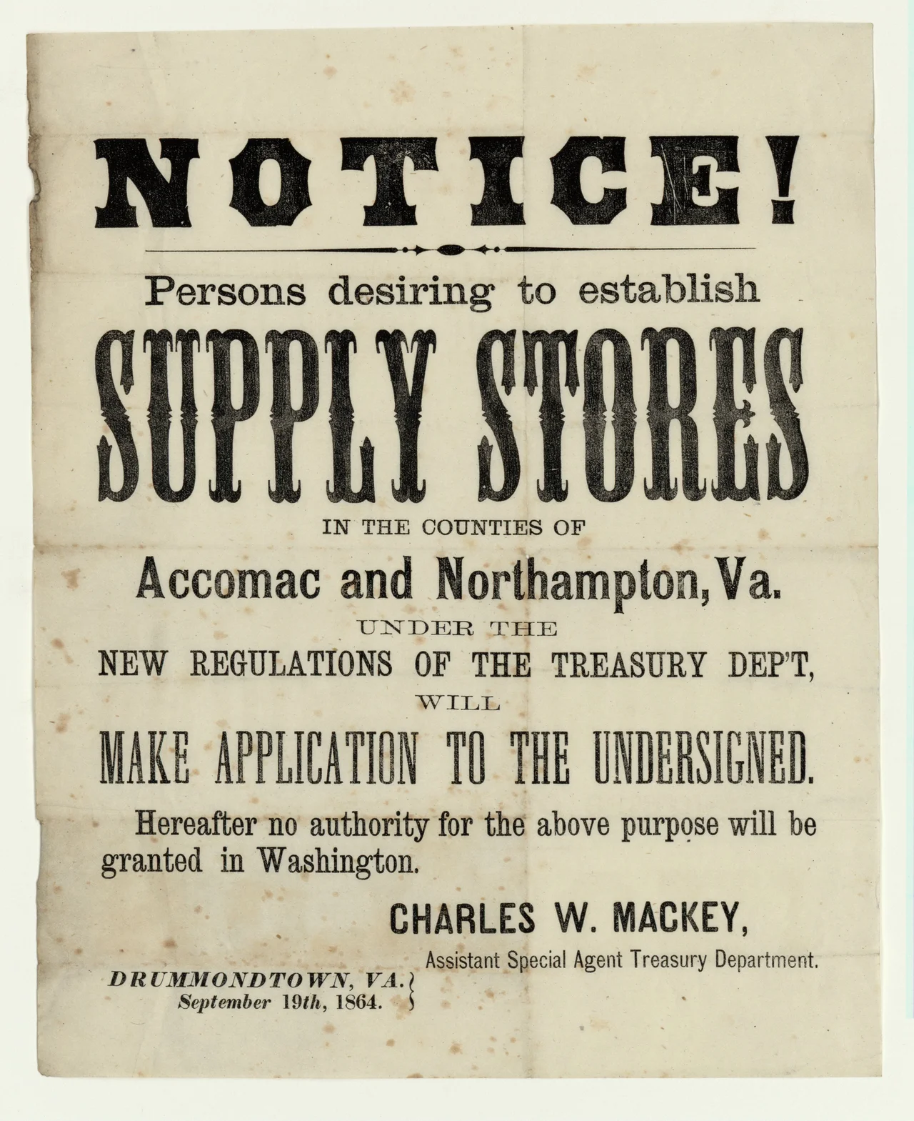
The Accawmacke Indians were living here when the English first sailed up the bay around 1603, with a network of small towns along the marshes and tidal creeks of the southern Delmarva Peninsula. The colonists adopted the name. Accomac Shire was established in 1634 as one of the original eight shires of Virginia, taking in all of Virginia's Delmarva territory. In 1642 the shire was renamed Northampton County. In 1663 it was split, with the northern two-thirds reclaiming the Accomack name and the southern third keeping Northampton. In 1670 the Royal Governor Sir William Berkeley abolished Accomac County altogether, but the Virginia General Assembly re-created it the following year, and it has existed continuously since. The final "k" was officially added by the General Assembly in 1940, and the U.S. Board on Geographical Names adopted the spelling in 1943. Before that, the Indians' name and the colonists' name had drifted apart and back together for three centuries.
Fourteen Towns
Accomack County has fourteen incorporated towns: Accomac, Belle Haven, Bloxom, Chincoteague, Hallwood, Keller, Melfa, Onancock, Onley, Painter, Parksley, Saxis, Tangier, and Wachapreague. That's double the next-most-towned county in Virginia, a number that reflects how the Eastern Shore developed: dozens of small water-based communities, each clustered around a creek or a railroad stop, none of them ever growing large enough to swallow the others. Accomac is the county seat. Chincoteague, famous for its pony swim and its barrier island wildlife refuge, is the largest. Tangier sits out alone in the middle of the bay, slowly sinking, its population now under four hundred. Each town has its own water and its own history, and the rural roads that link them go on and on under a sky that feels bigger than it should.
Chickens and Soybeans
Accomack is one of the two poorest counties in Virginia, a designation it has shared with neighboring Northampton for decades. The economy runs on agriculture and poultry processing. Large chicken plants owned by Perdue Farms and Tyson Foods anchor much of the wage employment, and the work is hard. A 2023 New York Times investigation documented child labor on the night shifts at a poultry processor in Accomack, exposing conditions that the country was supposed to have left behind a century earlier. The county is also home to NASA's Wallops Flight Facility, a satellite launch site that has been there since the 1940s, and to four nationally protected areas: Assateague Island National Seashore, Chincoteague National Wildlife Refuge, Martin National Wildlife Refuge, and Wallops Island National Wildlife Refuge.
Sons and Daughters
Accomack has sent its people out into history with regularity. James Hamilton, born here around 1710, became mayor of Philadelphia. James Henry, born in 1731, served as a delegate to the Continental Congress. Henry A. Wise, born 1806, was Minister to Brazil, Governor of Virginia, and a Confederate general. Lucy Virginia French was a nineteenth-century writer. Ralph Northam, born in 1959 and raised on the Shore, served as the 73rd Governor of Virginia. W. Sherman Savage, born here in 1890, became a historian of African Americans in the Old West. The lyrics of Scott Joplin's Maple Leaf Rag, as written by Sydney Brown, begin: "I come from ol' Virginny, from de County Accomack." It is a county that produces more famous people than its population would suggest, perhaps because of how many of them had to leave.
From the Air
Accomack County stretches from approximately 37.55N to 38.03N at the Maryland line, with its centerpoint near 37.76N, 75.76W. The county is the northern portion of Virginia's Eastern Shore, including Chincoteague and Assateague Islands and Tangier Island in the bay. From 5,000-8,000 feet AGL the long, narrow peninsula and barrier island chain is unmistakable. Accomack County Airport (KMFV) at Melfa is the main airfield; KWAL (Wallops Flight Facility) is a major NASA installation; KTGI serves Tangier Island. KSBY (Salisbury Regional) sits just north in Maryland. Watch for active NASA NOTAMs near Wallops, and be aware of the heavy bird traffic over the marshes during migration seasons.
Nearby Stories
- Hog Island Light 7.5 km away
- Point Lookout Light 8.3 km away
- SS Monroe (1902) 9.8 km away
- Assateague Island National Seashore 13 km away
- Somerset County, Maryland 15 km away
- Gloucester County, Virginia 21 km away
- Werowocomoco 46 km away
- SMS Ostfriesland 67 km away