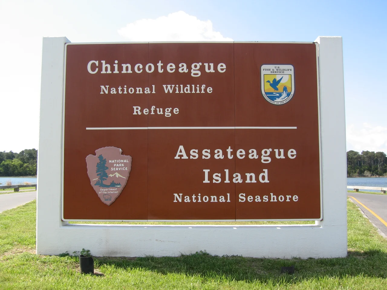

Assateague Island National Seashore
Walk the Dunes Trail at Assateague, and at one point you cross a crumbled stretch of asphalt half-buried in sand. The sign explains what it was: Baltimore Boulevard, the planned main street of a beach resort called Ocean Beach, Maryland. In the 1950s, developers sold 5,850 lots along this road. They paved Baltimore Boulevard, ran power and water, and started building cottages. Then the Ash Wednesday Storm of March 1962 hit the Mid-Atlantic coast, sustained gale winds across a four-day period of astronomical high tides, and ripped almost everything man-made off the island. The roads were gone. The cottages were gone. The development company decided the place could not be built on, sold all its land to the federal government, and Congress turned the wreckage into a national seashore in 1965. Ocean Beach, Maryland is one of the rare American cities that was unmade by weather. The asphalt under the sand is a tombstone for it.
Thirty-Seven Miles of Barrier
Assateague Island runs 37 miles along the Atlantic coast of Maryland and Virginia, never more than a mile wide. The island is part of a chain of barrier islands that stretches from Maine to Texas, built by the southward longshore drift of sand eroded from the Appalachian Mountains. Assateague is the largest natural barrier island ecosystem in the Mid-Atlantic that remains predominantly undeveloped. The National Seashore boundary covers 41,346 acres of land and water, divided among three federal and state agencies: the National Park Service runs the National Seashore, the Maryland Department of Natural Resources manages the smaller Assateague State Park, and the US Fish and Wildlife Service runs the Chincoteague National Wildlife Refuge at the southern end. You cannot drive the length of the island; you must come ashore at one end, leave the island, drive sixty miles around, and re-enter at the other. The island has remained whole because the planners gave up trying to make it convenient.
The Wild Horses
Bands of feral horses roam Assateague Island. Local legend tells a romantic story - that they descend from Spanish horses who swam ashore from a wrecked galleon. The likelier truth is more mundane: seventeenth-century mainland farmers turned their horses loose on the island to avoid the colonial tax on fences. The salty, low-nutrient diet of saltmarsh grasses has produced animals that are technically horses but short enough to qualify as ponies, with bloated abdomens from the salt-heavy diet. Two herds live on the island, separated by a fence at the Maryland-Virginia state line. The Virginia herd is owned by the Chincoteague Volunteer Fire Company, which rounds them up every July for the Pony Penning - they swim across the channel to Chincoteague Island, where some are auctioned as a fundraiser. Marguerite Henry's 1947 novel Misty of Chincoteague made the event famous. The Maryland herd is treated as wildlife and gets no veterinary care; the National Park Service uses a contraceptive dart vaccine called PZP to keep the herd between 80 and 100 horses. Visitors are warned to stay 40 feet away. The horses bite and kick. They look like a postcard. They are not a postcard.
Piping Plovers and the OSV Zone
Piping plovers, listed federally as a threatened species, nest in shallow scrapes in the open sand of Assateague's beaches between April and August. The park closes large sections of the over-sand-vehicle (OSV) zone during plover breeding season to keep four-wheel drives from running over nests and chicks. The OSV zone itself is a popular feature: the Maryland section limits beach access to 145 vehicles at any time, enforced by automatic gates, and the Virginia section limits 48 vehicles in normal conditions and 18 when the Tom's Cove Hook is closed for plover protection. Permits run $110 to $200 a year. Brown pelicans and great egrets fish the salt marshes; ruby-crowned kinglets and white-eyed vireos work the small woodlots; brant geese and northern saw-whet owls overwinter. The ecology of the barrier island is intricate, and the park staff spend most of their summer keeping the human visitors from accidentally disrupting it.
The Rolling Island
Assateague is moving. The whole barrier island migrates westward over time, sand washing over the dunes during storms and depositing on the bay side - a process geologists call barrier island rollover. The migration is accelerating as the sea rises and storms intensify. At the northern end of the island, just south of the Ocean City Inlet, the rollover is dramatic: Ocean City's stabilization jetties have starved Assateague of new sand, so the unbuilt Assateague beach now sits several hundred meters west of the developed Ocean City shore. The inlet itself did not exist before 1933, when the Chesapeake-Potomac Hurricane carved it overnight and the Army Corps of Engineers stabilized it with jetties the same year. After nor'easters in 1998 caused significant erosion, the park service began a sand replenishment program to restore the north end. The island is losing the race against sea-level rise. Standing at the high-tide line, you can see future low-tide lines printed in the wet sand as the water keeps coming.
Camping, Crab Pots, and Mosquitoes
The National Park Service maintains 148 campsites for tents and RVs on the Maryland side, divided between oceanside campsites west of the main dune and bayside campsites on a peninsula reaching into Sinepuxent Bay. The bayside sites have better wildlife viewing - horses grazing within a hundred yards is common - and worse mosquito populations. Six backcountry sites require permits and self-supply of fresh water; four are reachable only by kayak or canoe. The campground books up months in advance. There are three short nature trails - the Marsh Trail on an elevated boardwalk above the salt marsh, the Forest Trail through shady woodland, and the Dunes Trail through open sand that crosses the remains of Baltimore Boulevard. The new mainland visitor center, opened in 2010, sits before the Verrazano Bridge over Sinepuxent Bay. Saltwater fishing requires a state license; surfing is popular outside the lifeguarded areas. The fee passes are reciprocal between the Maryland and Virginia districts. The summer beach, the wild horses, the boardwalk into the marsh - this is one of the most accessible wild places left on the East Coast, and the visitor numbers reflect it.
From the Air
Assateague Island stretches along the Atlantic from about 38.32 degrees north (Ocean City Inlet) south to about 37.85 degrees north (Chincoteague Inlet). The island is a clean, narrow, north-south sand strip with the inland Sinepuxent and Chincoteague Bays clearly visible to the west. Ocean City Municipal (KOXB) sits at the north end of the bay on the mainland; Wallops Flight Facility (KWAL) lies 12 nautical miles south-southwest of the Virginia District. Be aware of active Restricted Areas around Wallops during rocket launches and unmanned-aircraft testing. A coastal pattern at 1,500 feet AGL gives a clean view of the dunes, the marsh, and the wild horse bands grazing in the impoundments. The boundary between the developed Ocean City beach and the wild Assateague beach is one of the most striking visual transitions on the entire Atlantic coast.
Nearby Stories
- Salisbury University 2.6 km away
- Ocean City (Maryland) 2.9 km away
- Debtors' Prison (Accomac, Virginia) 11 km away
- University of Maryland Eastern Shore 19 km away
- SS Monroe (1902) 25 km away
- USS General G. W. Goethals 56 km away
- SS India Arrow 83 km away
- USS Atik 452 km away