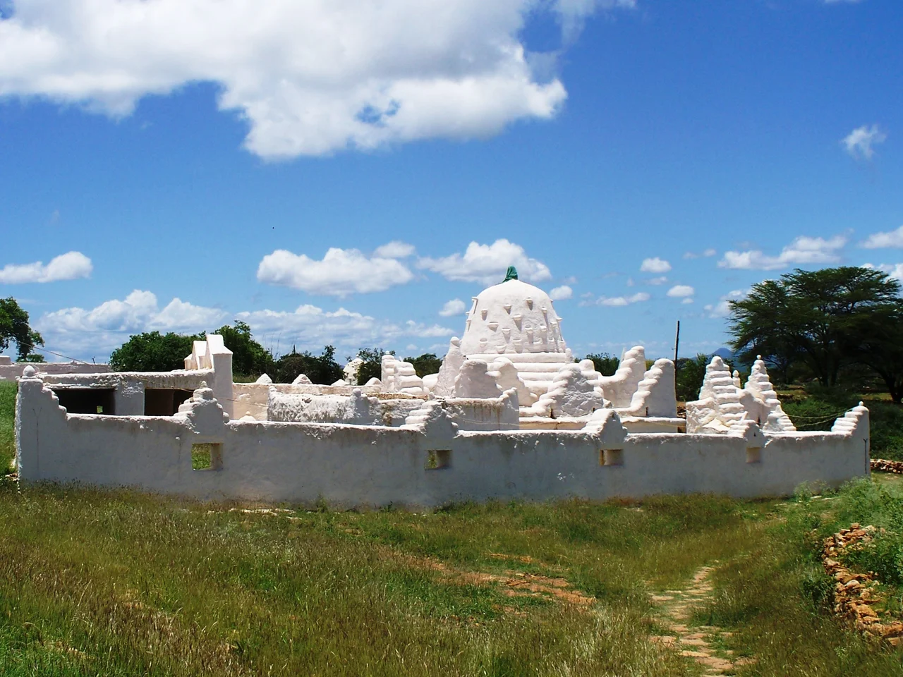

Ajuran Sultanate
Power, in the dry country of the Horn of Africa, has always come down to water. The Ajuran Sultanate understood this better than anyone. Rising in the thirteenth century, this Somali empire built its dominance not on conquest alone but on engineering: a vast system of stone wells, dikes, and dams that gave it control of the Shebelle and Jubba rivers and the nomads who depended on them. By the fifteenth century it was Africa's only hydraulic empire, a state that could rule the desert by ruling its water. From its strongholds along the rivers and the coast, the Ajuran traded with Ming China, allied with the Ottomans, and held off the most aggressive sea power of its age.
The Water Dynasty
At the heart of Ajuran power was a single, ingenious insight. In a land where survival depends on access to water, whoever controls the wells controls the people. The empire's royal house, the Garen dynasty whose rulers were styled Imam, built large limestone wells across the interior, drawing Somali and Oromo herders and their livestock toward government-regulated water points. Disputes that might once have spilled into raiding were settled instead by Ajuran officials acting as mediators. Along the rivers, a network of irrigation ditches the locals called Kelliyo fed plantations of sorghum, maize, beans, and cotton, supported by dikes and dams. Some of those wells were still in use into the twentieth century, centuries after the empire that dug them had vanished, a quiet monument to the skill of its engineers.
Merchants to the Edge of the World
The Ajuran sat astride some of the busiest trade routes of the medieval world, and they made the most of it. Through coastal cities like Mogadishu, Merca, and Barawa, the empire fed the Indian Ocean trade with goods carried up from its farms and workshops, and grew rich on the gold trade and Silk Road commerce. Vasco da Gama, sailing past Mogadishu in the fifteenth century, marveled at a city of houses four and five storeys high, big palaces, and mosques with tall cylindrical minarets. The empire's reach extended astonishingly far. Ajuran rulers sent the ambassador Sa'id of Mogadishu to the Ming court, and the Yongle Emperor dispatched the great fleets of the admiral Zheng He to trade with the Somali coast. The ships sailed home to China carrying gold, frankincense, and the first African giraffes and hippos the Ming had ever seen.
Standing Against the Tide
When the Age of Discovery brought the Portuguese Empire crashing into the East African coast, the Ajuran did not simply submit. The Portuguese had sacked the city-states of Kilwa, Mombasa, and Malindi when Tristão da Cunha turned his fleet on Ajuran territory in 1507 and attacked Barawa. His soldiers burned and looted the town, but fierce local resistance kept them from holding it, and da Cunha was wounded in the fighting. When he sailed on toward Mogadishu, word of Barawa had already spread; the city mustered horsemen, soldiers, and warships in such force that da Cunha's own officers begged him not to attack, and he turned away for Socotra instead. Over the following decades the Ajuran allied with the Ottomans, importing muskets and cannon through Mogadishu's Muzaffar port, and joined Somali and Omani fleets that drove the Portuguese out of cities all along the Swahili coast.
An Empire's Long Shadow
No empire rules forever. By the late seventeenth century the later Ajuran rulers had grown oppressive, abandoning the rule of law and crushing their subjects with heavy taxation, and rebellion spread. The loss of the port cities and the fertile river farms drained away the revenue the state depended on, and by the early 1700s little trace of Ajuran power remained in the Banadir region. The empire fractured into successor states, the most notable being the Geledi Sultanate. Yet its fingerprints are everywhere still. The ruined fortresses scattered across southern Somalia, the limestone wells and cisterns, the systems of farming and taxation that outlived the dynasty by generations, all trace back to the water dynasty that once turned the rivers of the Horn into the foundation of an empire.
From the Air
The Ajuran Sultanate's heartland lay across southern Somalia and into eastern Ethiopia, anchored on the Shebelle and Jubba river valleys and the Indian Ocean ports. This reference point sits at roughly 2.91°N, 43.30°E, in the inter-riverine country where the empire built its wells and irrigation works. From the air the terrain is a patchwork of dry plains and the greener ribbons of the river valleys that made the empire possible, with traces of old stone settlements scattered through the interior. The nearest major airfield is Aden Adde International Airport in Mogadishu (ICAO: HCMM), the empire's greatest coastal city, to the east. The region is generally hot and dry with long stretches of clear visibility, the river courses standing out distinctly against the surrounding scrub.
Nearby Stories
- Sultanate of the Geledi 143 km away
- Daallo Airlines Flight 159 166 km away
- Barawa 183 km away
- Somalia 334 km away
- Wagalla Massacre 342 km away
- Dadaab 427 km away
- Gedeo Cultural Landscape 516 km away
- Battle of Bandiradley 537 km away