
Beng Mealea
There is no correct way to walk through Beng Mealea. The galleries built to guide you have fallen in on themselves, and what is left is a landscape rather than a building: sandstone blocks the size of engine casings heaped where the roofs dropped them, strangler figs standing calmly in the doorways they killed, a wooden walkway running over the top of the wreckage because the floor stopped being a floor centuries ago. Forty kilometres east of the main Angkor group, on the old royal highway toward Preah Khan Kompong Svay, this is the great Khmer temple nobody put back together - and the effect is nothing like the swept courtyards to the west. At Angkor you look at architecture. At Beng Mealea you climb through it.
Dated by Its Own Face
Nobody knows who built Beng Mealea. No founding inscription survives, no royal name attaches to it, and the entire chronology rests on how the thing looks. What it looks like is Angkor Wat. The blind doors, the lintels, the pediments, the cruciform cloisters, the magnificent five-headed nagas rearing off the terraces - all of it belongs to the Angkor Wat style, which puts the temple in the early 12th century and points at the reign of Suryavarman II, who built Angkor Wat itself. The outer gallery measures 181 by 152 metres, and the floor plan is close enough to Angkor Wat's that the temple is commonly described as a forerunner or blueprint for it. Whether the builders were rehearsing or simply repeating a design they had already perfected is a question the stones refuse to settle.
Lotus Pond
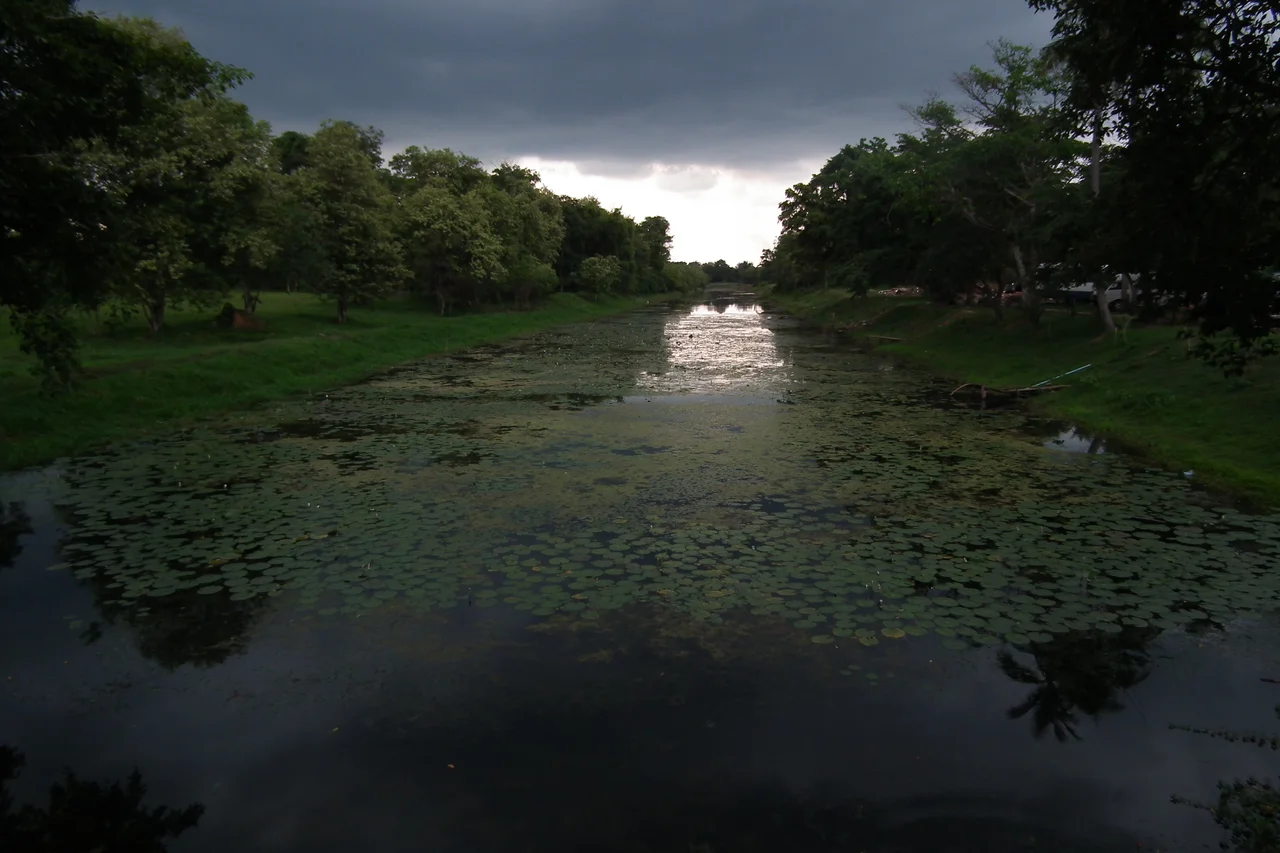
The name means Lotus Pond, and it is not decorative. Beng Mealea was the centre of a town, ringed by a moat 1,025 metres by 875 and fully 45 metres wide - a rectangle of open water big enough to see from a long way off, in a landscape where controlling water was the whole basis of power. It was founded as a Hindu temple, though some of its carvings show Buddhist motifs, a doubling common enough across late Angkorian Cambodia. Much of the best sculpture is now horizontal. Female deities look out from walls that have tilted off plumb; one fallen lintel lies where it landed, still showing the Churning of the Sea of Milk, the gods and demons hauling on their serpent rope while the world is made. You come around a heap of rubble and there it is, at your feet, face up to the sky.
Closed for a Generation
Beng Mealea's ruin is old, but its inaccessibility was modern and man-made. Cambodia's wars left this stretch of country mined, and mined ground does not permit archaeology, tourism or even casual trespass. The temple sat behind that barrier for years - not lost, simply forbidden, a place local people knew perfectly well and could not safely enter. It took deminers working the ground metre by metre to change that. Around 2003 the Cambodian Mine Action Centre and the HALO Trust finished clearing the site, and the temple opened to visitors. The clearance was slow, dangerous, largely unglamorous work carried out by Cambodians on Cambodian soil, and it is the single reason anyone can stand inside these galleries today.
What Theft Costs
Being unguarded and unrestored also made Beng Mealea vulnerable in a second way. The site has suffered serious damage from antiquities theft - heads removed from bodies, reliefs chiselled out of their settings, structures further destabilised in the process of extracting a saleable fragment. The economics are brutally lopsided. A carving that fetches a large sum in a distant gallery may pass through the hands of someone in a nearby village for a tiny fraction of it, and the loss to the site is permanent regardless of who profited. Cambodia's recent success in recovering trafficked Khmer sculpture has changed the calculus somewhat. But a statue can come home to a museum; a pediment cut out of a standing wall cannot really be put back, and Beng Mealea carries those subtractions in plain view.
The Argument for Leaving It
Beng Mealea was documented early - a map survives from a drawing by the French officer and scholar Leon de Beylie, who died in 1910 - and it has been visited, studied and photographed ever since without ever being reassembled. The site was added to Cambodia's UNESCO World Heritage Tentative List in the cultural category on 27 March 2020, having first been proclaimed on 1 December 1992. Restoration would tidy it and would also erase the thing it uniquely offers: an unedited demonstration of what a thousand years of monsoon, seed and root actually do to sandstone. The figs are not a picturesque accident. They are the process, still running. Walking the plank path through the collapse, with the light coming down in shafts through the canopy and the moss growing on carved apsaras, you get a version of Angkor that the nineteenth-century explorers described and that almost nowhere else still delivers.
From the Air
Beng Mealea lies at 13.476 N, 104.238 E, roughly 40 km east of the main Angkor group on flat lowland north of the Tonle Sap. The temple mass itself is under canopy and hard to pick out, but the moat is not: a sharp-edged rectangle of water 1,025 by 875 metres, 45 metres wide, unmistakable from 2,000-4,000 ft AGL and the standard way to find the site from the air. Phnom Kulen's flat-topped plateau stands about 20 km to the north as a reference. Nearest major field is Siem Reap-Angkor International (VDSA); Phnom Penh International (VDPP) is the alternate. November through February brings the clearest air and lowest haze; from May the afternoon monsoon builds convection quickly over the plain, and the moat fills and reads even more strongly from altitude.
Nearby Stories
- Spean Praptos 13 km away
- Preah Vihear province 23 km away
- Phnom Tbeng Natural Heritage Park 31 km away
- Koh Ker 33 km away
- Isanapura 46 km away
- Killing Caves of Phnom Sampeau 69 km away
- Scam Centers in Cambodia 126 km away
- 2014 Thai Coup d'Etat 294 km away